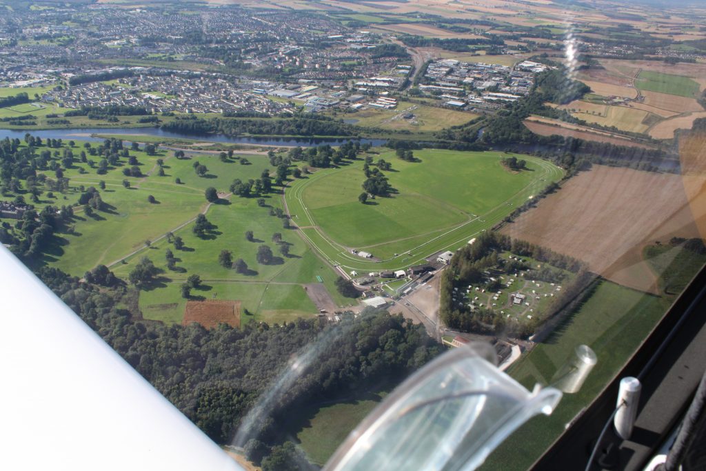
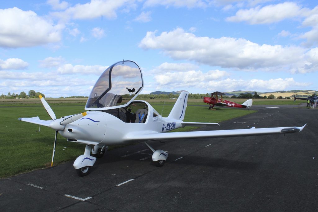
Following hot on the success of the trip to the airport café in Carlisle, we decided on another aerial gastronomic adventure, this time to the west coast of Scotland and the airfield at Oban, with several eateries within walking distance. The airfield is situated on the coast at North Connel and the bridge over the Falls of Lora. It is almost due west from Perth so the route takes us past Perth Racecourse at Scone…
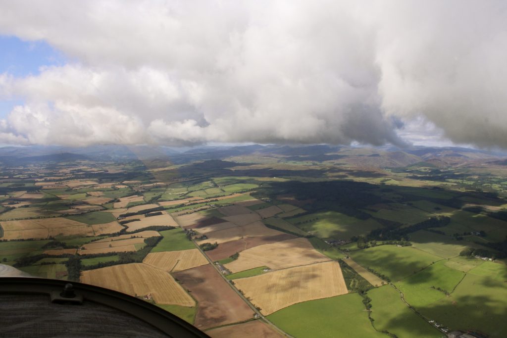
…and towards Crieff with the ground slowly rising…
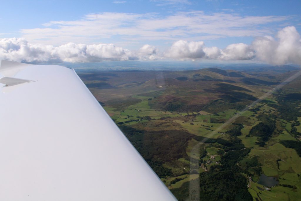
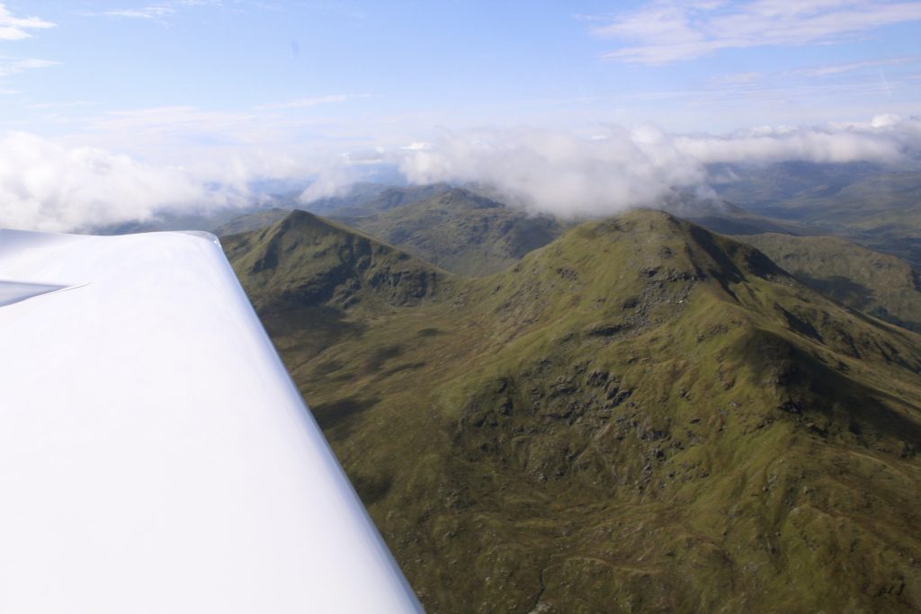
…and getting a little more rugged, then some serious hills with only a few spots for a forced landing if we have engine trouble…
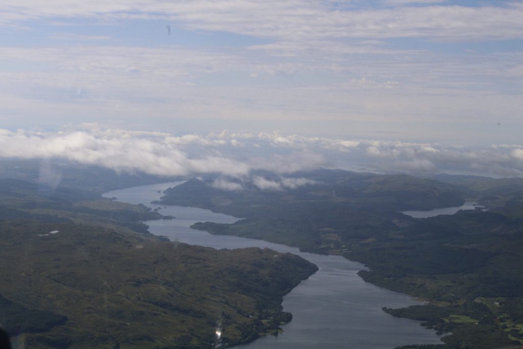
Some pretty awesome scenery on the way west. This is Loch Awe. See what I did there? Loch Awe. Awesome.
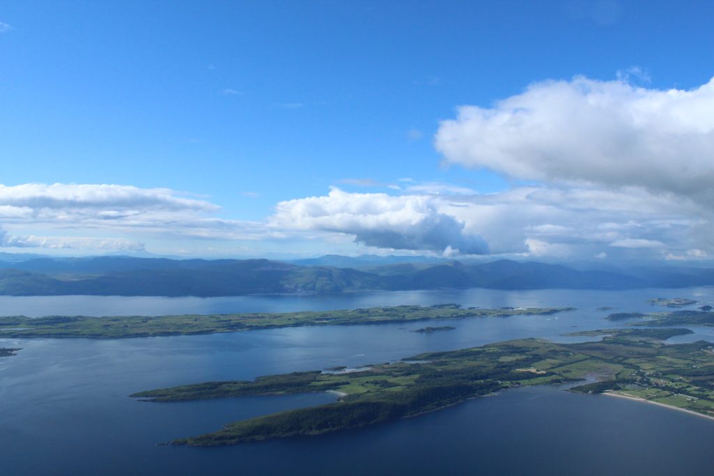
…and finally to the west coast, with all its islands and hills.
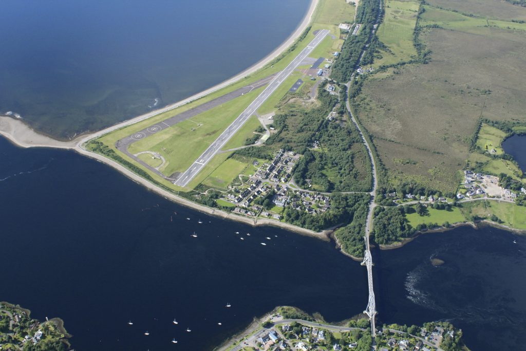
The view of Oban airport from above shows the north/south runway, the bridge at Connel and the Falls of Lora – that’s the ruffled bit of water to the right of the bridge in the photo below. Due to the underwater topography the incoming and outgoing tides create some fantastic white water standing waves. You can surf or kayak and stay in exactly the same location.
Also visible from above is our lunch stop at the Oyster Inn. It’s the blue building at the mid point of the bottom edge of the picture.
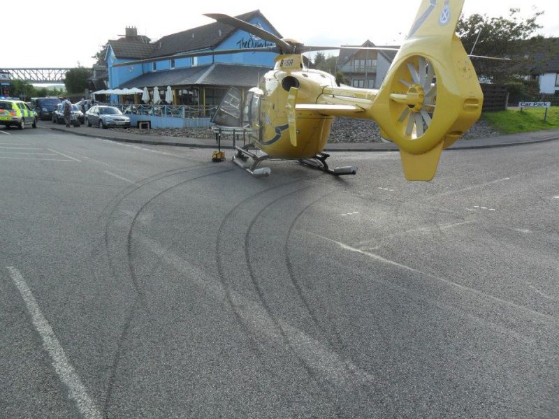
I’ve been to the Oyster Inn before! Those skid marks are NOT mine, just in case you were thinking of asking…
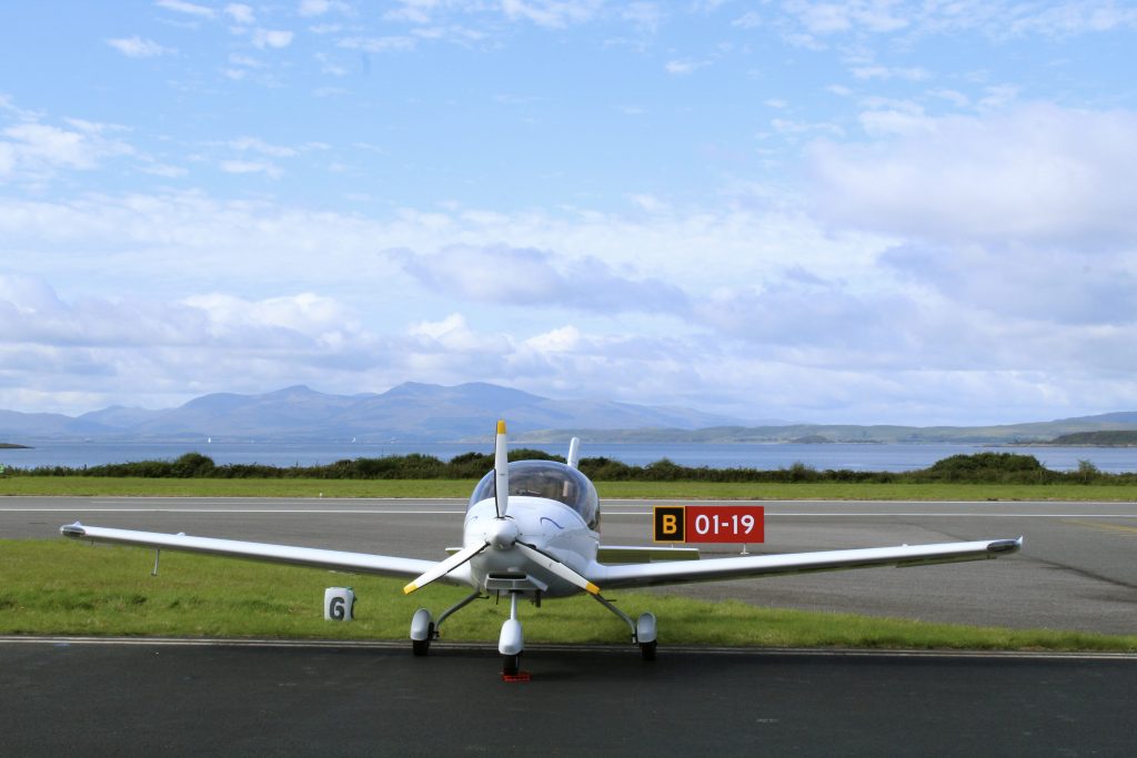
The southerly runway was in use at Oban and after landing we were directed to parking spot six, with Loch Linnhe, Lismore island and Mull in the background. Then it was another £15 landing fee and the walk to the pub.
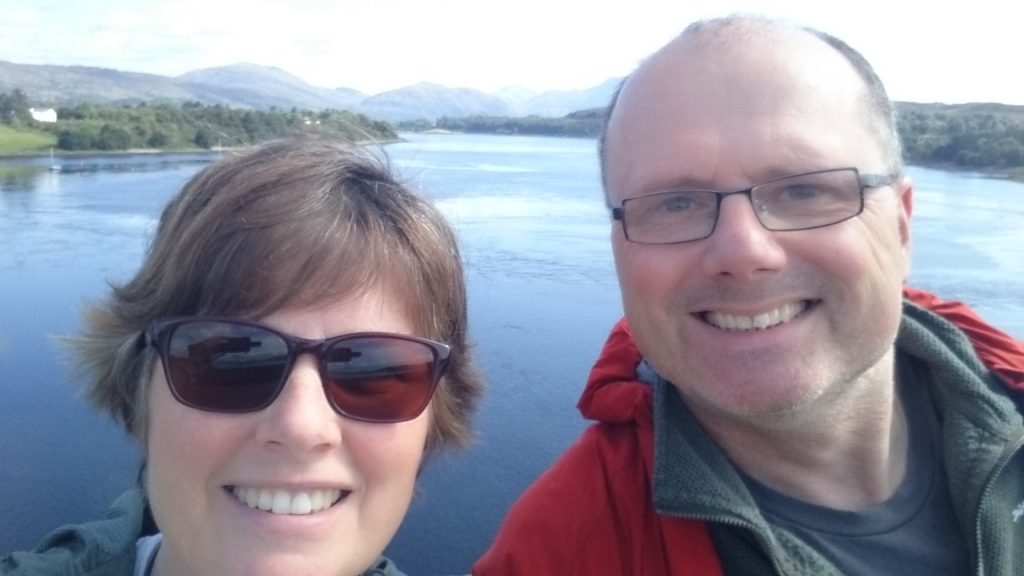
It took about 25 minutes to walk to lunch, would have taken less time but we (obviously) had to stop for photos at the bridge. That’s the Falls of Lora behind us. Not a lot going on as it was slack water at the time.
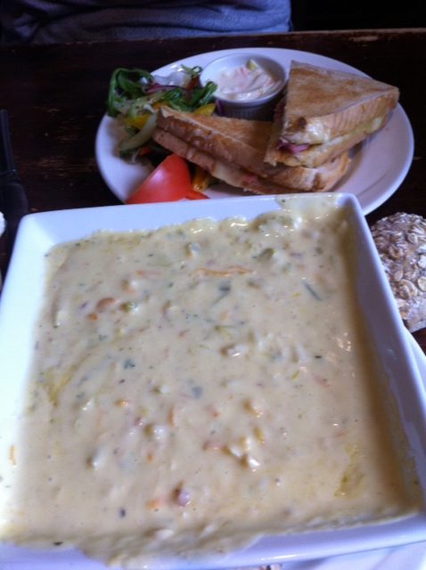
The Oyster Inn does a great fish chowder, we foolishy ordered a toastie as well. Definitely not required. The giant square bowl was more than enough for two.
For those youngsters out there, who are of the opinion “pictures or it didn’t happen!” – here’s a picture of a bowl of soup…
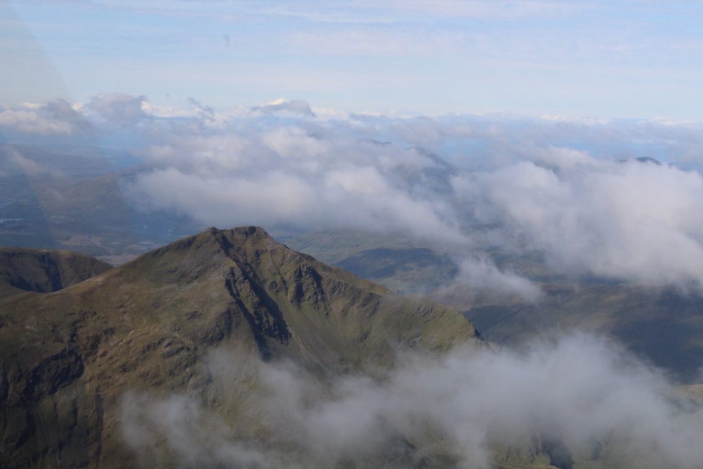
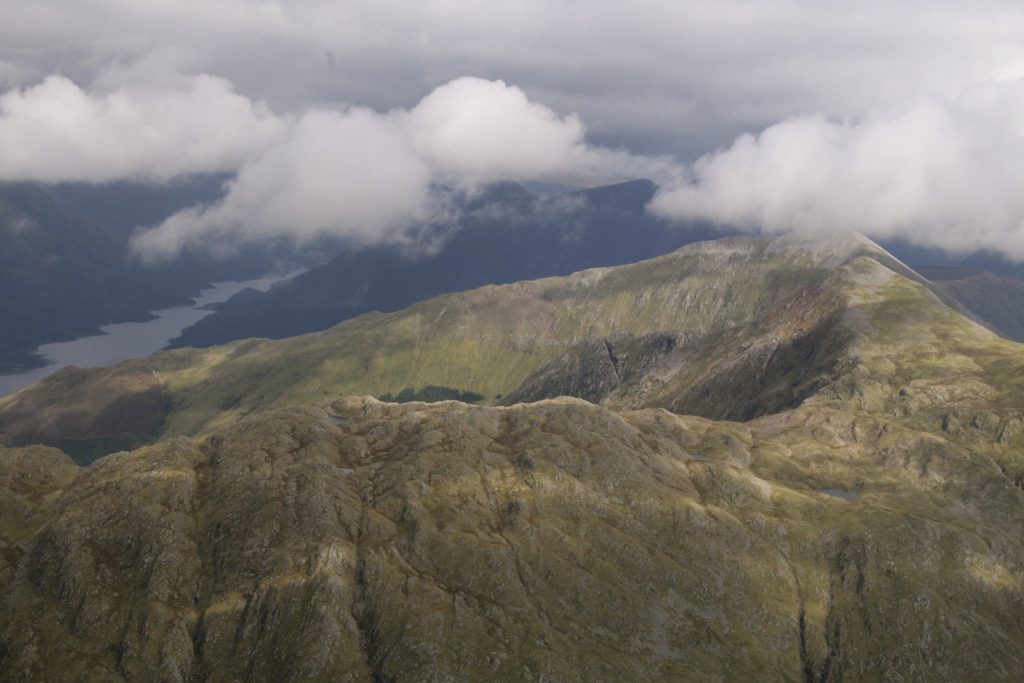
Full of chowder we took off from Oban, turned north and took a different route home. Past some serious hills…
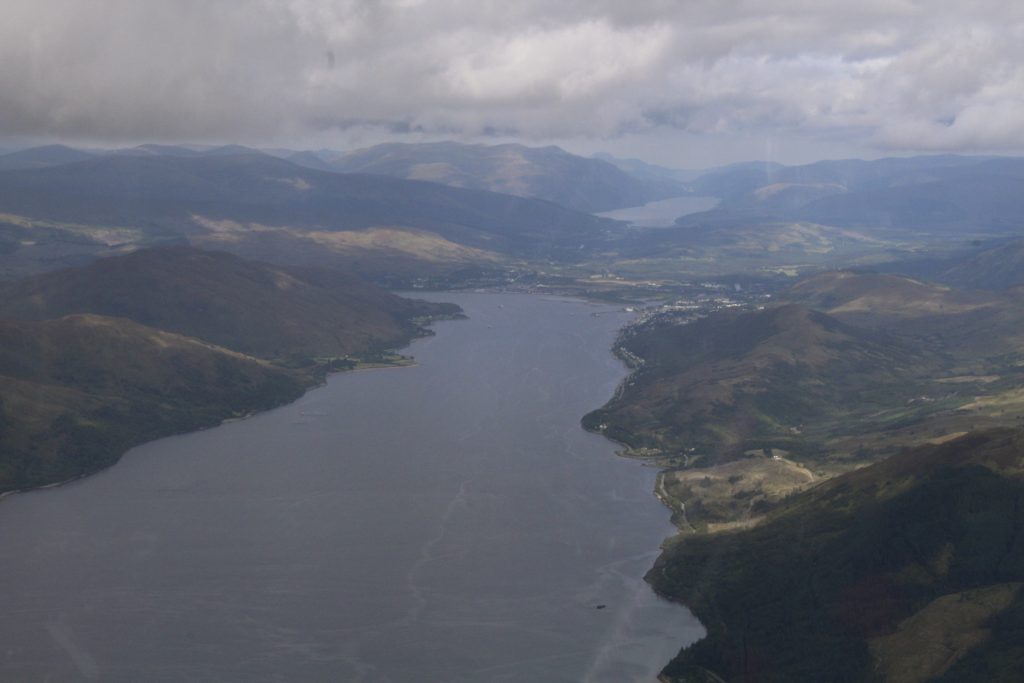
…up Loch Linnhe to Fort William. Brenda’s brother Andrew is somewhere in this shot. In the distance is Loch Lochy and beyond, Loch Ness.
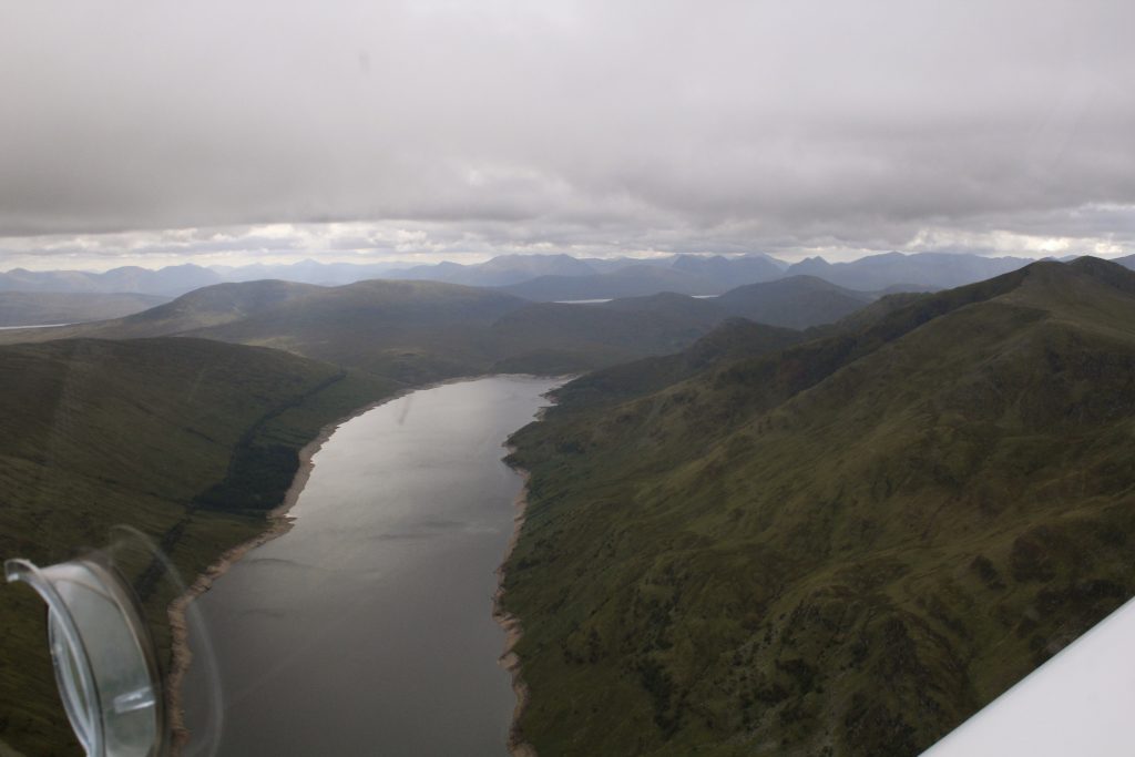
We followed the route of the Fort William to Glasgow railway line to take us back east. Here it is climbing up the eastern side of Loch Treig before turning the corner onto Rannoch Moor
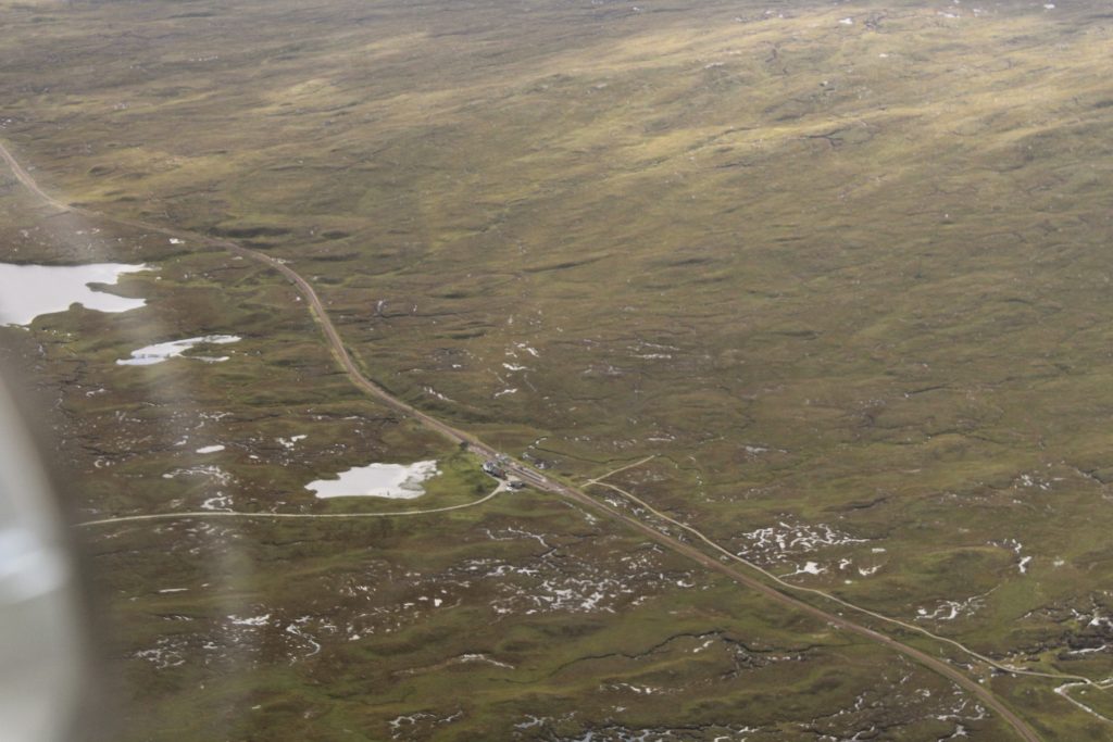
Corrour station:
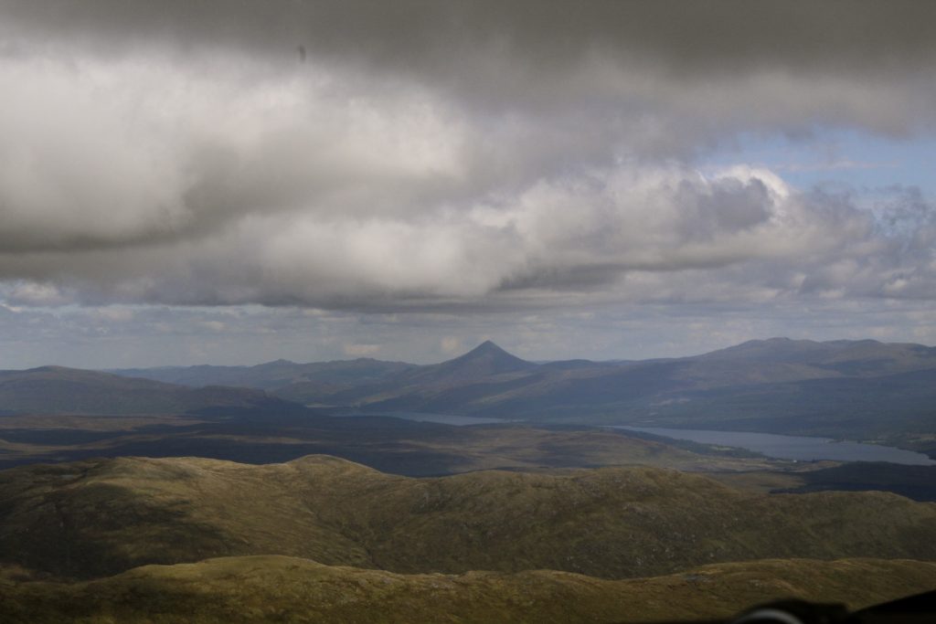
From Corrour the distinctive shape of Schiehallion was visible in the distance beyond Loch Rannoch. It’s over 3000ft high and can be seen from Perth airport so it’s like a friendly beacon showing the way home.
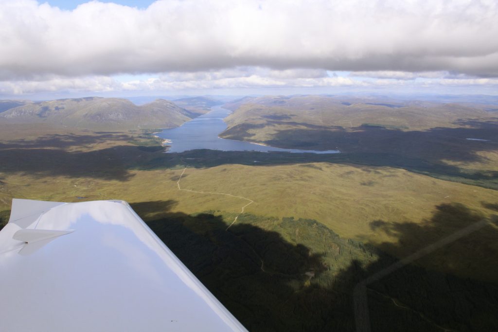
This is Loch Ericht, looking north. The top end is just by the A9 trunk road connecting the Highlands and the rest of the world.
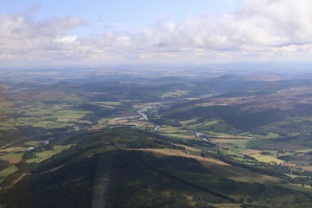
The landscape started to become more familiar again as we approached Pitlochry…
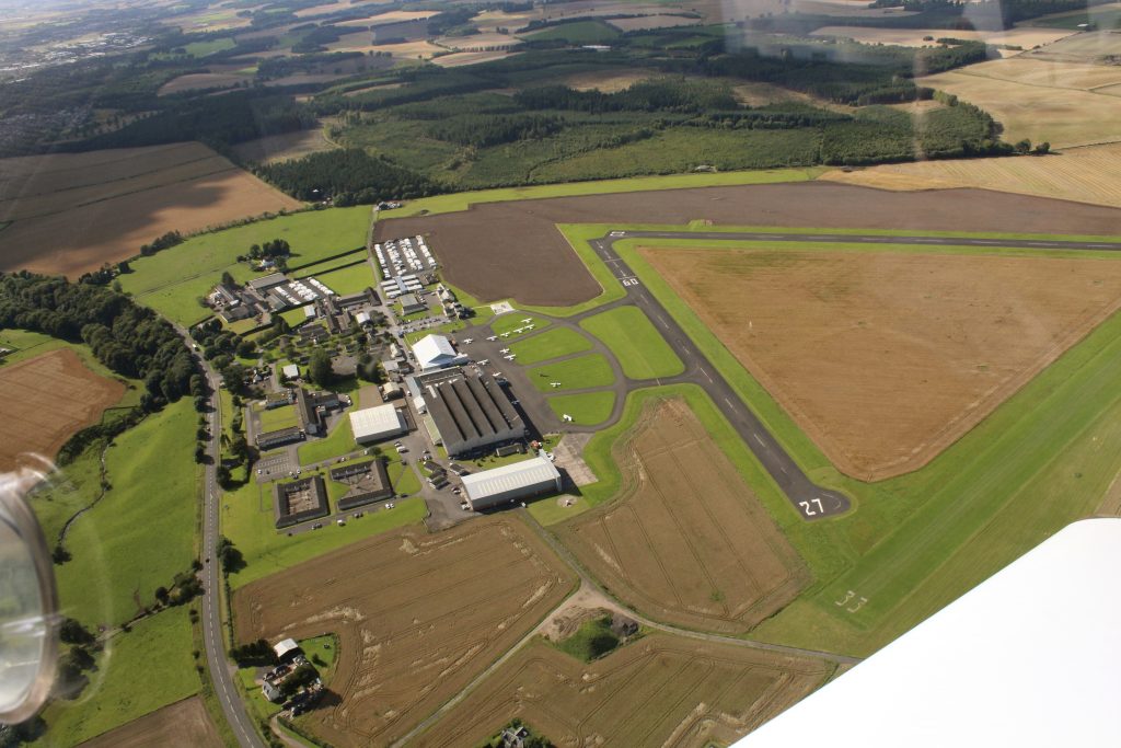
…and soon we were overhead and descending to land.
As Wallace and Gromit would say, a grand day out. With soup.

