Return Trip (2) – Avoiding Thunderstorms on the way to Belgium

When we woke in Lübeck the weather was looking dodgy for our planned route. Being creatures of habit and scared of change we had planned to use Groningen and Kortrijk and get across to Rochester for the nightstop…but there was a forecast line of thunderstorms across the Netherlands from Amsterdam northwards. This meant that Groningen was out.

The storms were not forecast for the south of the Netherlands, so we planned to head south into Germany before turning west. We planned to refuel at Münster/Osnabruck then head for Kortrijk. With that in mind we jumped into our taxi and headed for the airport.

Once again the plan fell apart. Munster had the builders in at the fuel station and had put out a NOTAM (Notice to Airmen) to that effect. We replanned for Paderborn/Lippstadt but this meant we then needed another fuel stop as we didn’t have enough to get to Kortrijk. I’ve always wanted to go to the Dutch airfield of Midden Zeeland so that’s where we decided to go. With the law of unintended consequences having a field day we then didn’t have enough time to get to Rochester, so Kortrijk became a nightstop. Remember, flexibility is the key!

Airborne from Lübeck heading southwest we crossed the Elbe…

Then it turned and followed us for a bit…

Autobahns make distinctive navigation check features:

Crossing the River Weser:

Passing Bielefeld, heading south towards Paderborn. That light coloured strip in the distance is the now-disused RAF Germany station at Gütersloh, former home of the Harriers, Pumas and Chinooks:

We were soon parked up at Paderborn. No self service pump here – a towed fuel trailer comes to the aircraft. We had a bit of a faff paying the bill as the card machine refused our card, and again, and another card, and another. After a good old “power supply reset” – also known as the “Microsoft on/off/on” – it took the first card straight away.

I had to use the same card for an emergency top up of Skydemon flight plan credits as they only last for a year and today was their expiry date. Typical…just when we were in a hurry.

After a rehydration stop in the terminal building,we went back to the aircraft. Zoom in on the nose wheel of the Piper Archer next to us and you’ll see they couldn’t park with the nose wheel on the yellow line either!

Taxiing out at Paderborn, there was a charter flight pushing back:

Did you ever have the feeling you are being followed?

Airborne again, west from Paderborn/Lippstadt towards the Dutch border at Nijmegen…

Autobahns again proving useful for navigation:

Back over the flatlands…crossing the Rhine:

At the border. The Rhine at the wingtip flows towards the left and then splits. The Waal (left) goes to Nijmegen and the Nederrijn (right) goes to Arnhem…

Not far to go now to Midden Zeeland:

The grass runway at Midden Zeeland is delightfully smooth and a joy to land on. We were soon at the pumps.

The restaurant looked quite busy with locals which is always a good sign. We would have loved to stay and sample the menu but once again it was a “splash and dash” so after paying, we were on our way.

Pre take off checks in the run-up area. One of the nice things about foreign flying is noticing the small differences in things. Like the signs…

On a westerly take off from Midden Zeeland there is an immediate right turn of 45 degrees (if safe) to avoid a holiday park. This puts the aircraft straight out over the water, but to be honest there’s so much water there anyway it can’t be avoided:

And then a turn to the south past the port of Vlissingen:

Climbing out past the shipping traffic to and from Antwerp:

Back over dry land at the Dutch town of Breskens. Only two big bits of water left to cross: the English Channel and the Firth of Forth. But not today.

Belgium again! Crossing the border with Zeebrugge off in the distance:

It was still a hot afternoon with thermal activity making it bumpy as we crossed Belgium towards Kortrijk:

Once again avoiding the paradropping site at Moorsele we were soon established on a straight-in final for runway 24:

Finally. After a long day but the shortest leg so far, we put the covers on and found a hotel for the night:

Brenda didn’t have to search too far… The Bell-X Hotel at Kortrijk is about 150 yards away from the front door of the terminal building! This is the view from our room, note the big “AIRPORT THIS WAY” sign. If we had been given a room at the rear of the hotel I’m sure we would have overlooked the aircraft:

After dumping our bags we set off in search of sustenance, taking note of the architectural features on the way…

…and finding an excellent little restaurant “De Cruyscouter” about 3 minutes walk from the hotel. Excellent steaks, Flanders style.

Not Ned Flanders. But I like your thinking.

Then back to the hotel to plan tomorrow. It looked like we might be racing the weather back to Perth. The plan was Kortrijk to Rochester, Sandtoft, then a final leg back home. We would be starting from further away but it should be possible before the frontal cloud and rain arrived in Scotland from the west.

On that subject, due to night stopping at Kortrijk we didn’t get to our hotel booking in Rochester. Sadly it was a non-refundable booking so we lost about £80. In the grand scheme of things, adding up six days of fuel receipts, landing fees, hotels, taxis, pizzas etc £80 wasn’t actually a huge proportion. But it’s still £80.

Tomorrow, onwards to Scotland!

The Return Trip (1) – Sweden to Germany

One snag with flying in to an air park can be lack of ground transport. Luckily we were given the use of a “spare” car by Toffe. He was airfield manager for years and is still the go-to guy when you need the heating turned on or the grass cut. The Siljansnäs Flygklubb also have a car for rent by visitors at reasonable rates…but it is in high demand and not always available.

Looking at the long range weather patterns on wxcharts showed a potential window of three days for getting home the next week, so we relaxed and settled in for four days.

Having access to a hangar is awesome…we were able to make a mess and not have to tidy up! We pulled the cowlings and made sure everything was secure, hinges lubricated, tyre pressures OK and the oil topped up. In 15 hours of flying the engine had burnt only a tiny amount of oil. We added a smidge to get the level back in the middle of the range on the dipstick.

Using the excellent Onedrywash stuff we cleaned and polished the whole airframe…after having removed 1500 miles worth of crusted on insects. That was fun.

We planned to start the return trip on Monday – on Saturday the weather broke and it rained on and off for two days…the first rain for weeks.

Some evening visitors to the garden. We were sitting on the deck and they sauntered right past us and only started running when they heard the shutter noise from the iPad camera:

On Sunday I taxied to the pumps and refuelled in a gap between showers. The Monday forecast was now a grey start but clearing up later. We weren’t too concerned as we had five days for the three day trip…but I had a kind of sinking feeling standing in the rain taking this photo:

Monday morning. We were up early, aircraft out and ready to go. The weather didn’t cooperate. As forecast it was grey and misty first thing…

Apparently all the weekend rain had fallen on hard sun baked ground and rather than soaking away it sat around and evaporated into low cloud and mist overnight. Eventually it did brighten up and we were able to depart.

Climbing out over Siljansnas village after takeoff from runway 14:

Once settled into the cruise and talking to Sweden Control with the flight plan activated it was time to look at the trees again. The clouds slowly cleared as we progressed further south…

A point about the flight plan…our first two legs were within the country and not crossing any international boundaries, so a flight plan was not mandatory. Since it’s for search and rescue purposes and there’s a lot of countryside to get lost in it’s better safe that sorry, we did submit one for each leg. To save time on the turnarounds we filed all the flight plans in the morning and then just adjusted the timings with a delay message as the plan fell apart.

More trees, more lakes:

Windfarms…

We had decided to split the long leg down through Sweden and aimed for the airfield at Falköping. By the time we got there and pulled up to the fuel hut the clouds had almost totally cleared and it was hot again…

Falköping is just about exactly halfway between Siljansnäs and Höganäs, and almost on the straight line between the two airfields. We had passed overhead on the way north. Every year they hold an EAA fly in, this year’s event in early June had 140 aircraft attending.

It was quiet when we landed with only one other aircraft movement while we were there. The tower wasn’t in use at the time, just blind calls on the radio.

The helpful club guy refuelled and after paying (and the obligatory Swedish flying club ice cream), we were off to Höganäs. Flying south we passed a small area of what could be English countryside:

This time we had pre-warned Höganäs by email and they were ready for us. Refuel was quick and it was now very hot so we had a break to rehydrate.

Then we were off again, on the final leg of the day – destination Lübeck in Germany. Very soon after taking off from Höganäs we were crossing from Sweden into Denmark:

If Denmark had the same rain we had in Sweden, it didn’t really show. Still as dry and yellow as before:

A slightly different routing though Denmark took us along the coast with great sea views out to the right:

The island of Femø just off the wingtip. There is a 645m grass airstrip on the island, but apparently it is closed at the moment. We’ll have to come back:

Pretty soon we were approaching the boundary, following the route of the Rødbyhavn to Puttgarden ferries which shuttle back and forth across the 10 mile stretch of water between Denmark and Germany. We signed off with Copenhagen Info and wondered whether Bremen would talk to us this time…

Puttgarden ferry terminal. German coast ahead!

Bremen Information answered us immediately, loud and clear. By the time we had checked in and set the transponder code we were back over dry land and had 50 miles to go to Lübeck.

Lübeck-Blankensee airfield is to the south of the city. Approaching from the north we could make out the old town with its distinctive green spires in the distance:

The controller cleared us direct to the field rather than routing via point “W” and we were soon on short final for runway 07…

Flughafen Lübeck is 440 nautical miles from Siljan Air Park in a straight line. Our route was slightly more wiggly due to the detour around Copenhagen’s airspace after leaving Sweden, but not much. Not a bad days flying.

After putting the aircraft to bed we got a taxi into town. We had already booked the posh sounding Hotel Excelsior and pretty soon we were checked in and ready for a bite to eat. It was a short walk into the old town; by chance, the bridge we crossed led directly into an area teeming with cafés and restaurants, so we were spoilt for choice:

We finally settled on yet another pizza restaurant, and made a start on the rehydration. The table behind us was full of Swedish students on a trip, it was if we had flown for a day and not gone anywhere!

After an excellent pizza, we passed the Museum Holstentor on the way back to the hotel. According to the Google this is an “iconic gothic gate” …

Built in 1464 it is a little bit leany – that’s not a trick of the camera.

And so…back to the hotel for a big sleep and worrying about the next day’s routing and the forecast. Once again the plan was about to fall apart…

Scotland to Sweden 2018 – The Trip Out

Caution! This is about 4000 words. Probably best to go and get a coffee before settling down to read. Maybe connect mains power too!

Big adventure = big post, lots of piccies…

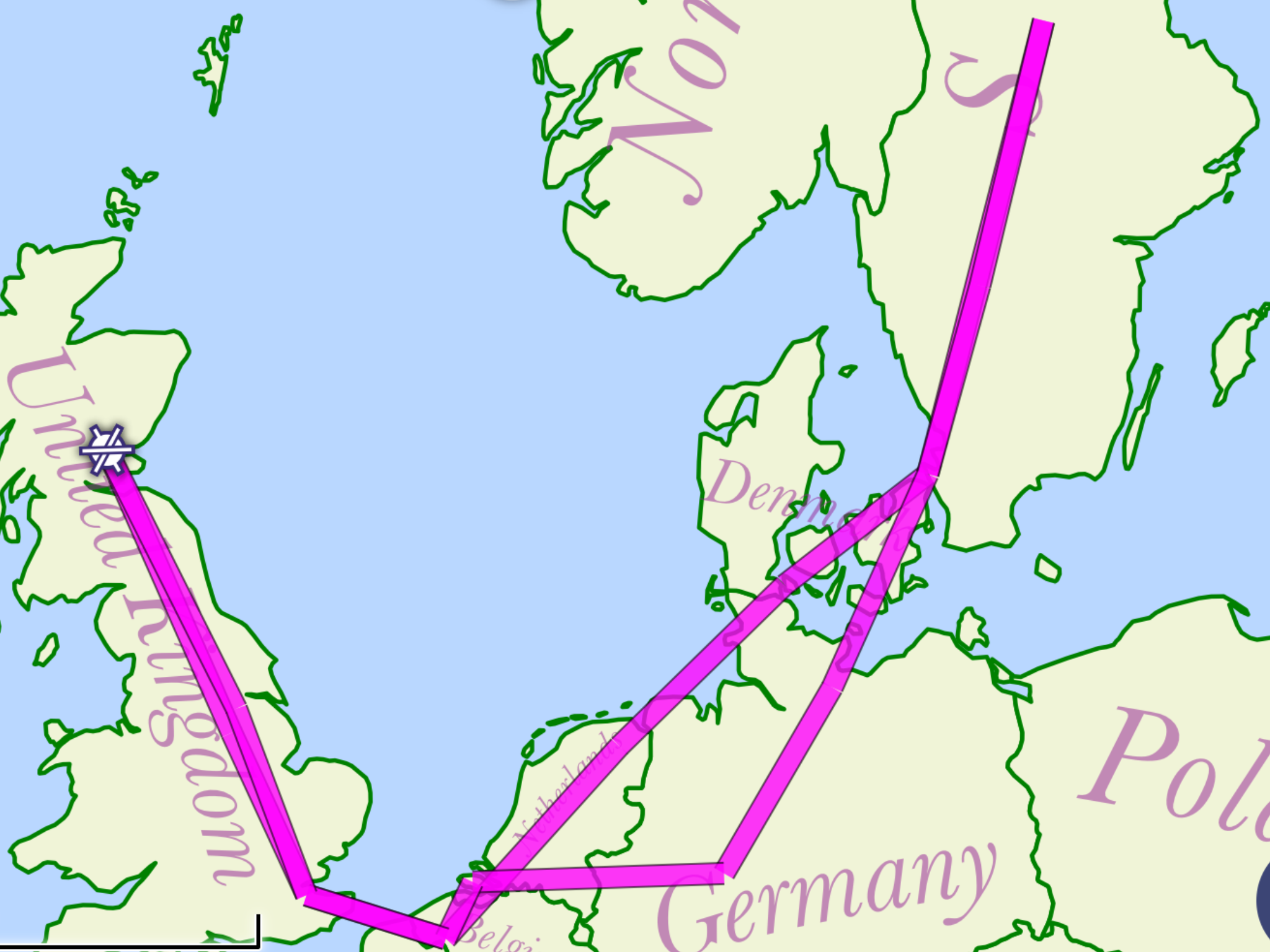
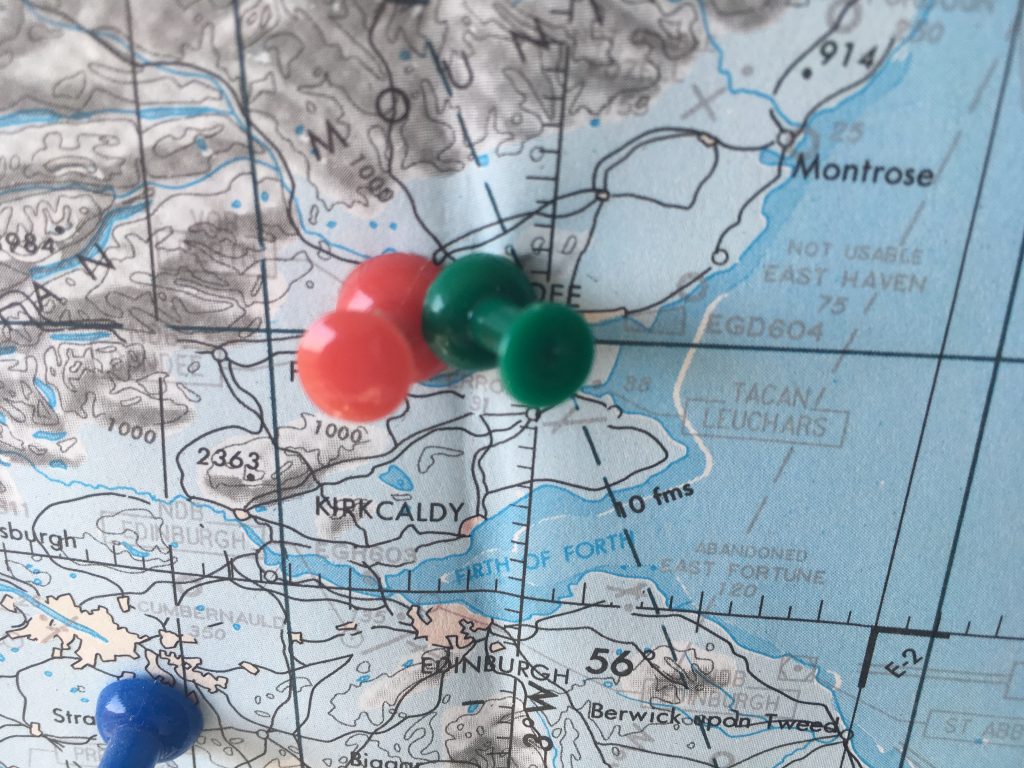
If you’ve read all the posts you’ll remember the basic plan:

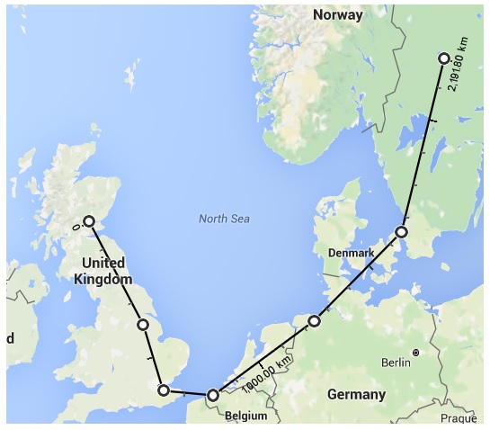
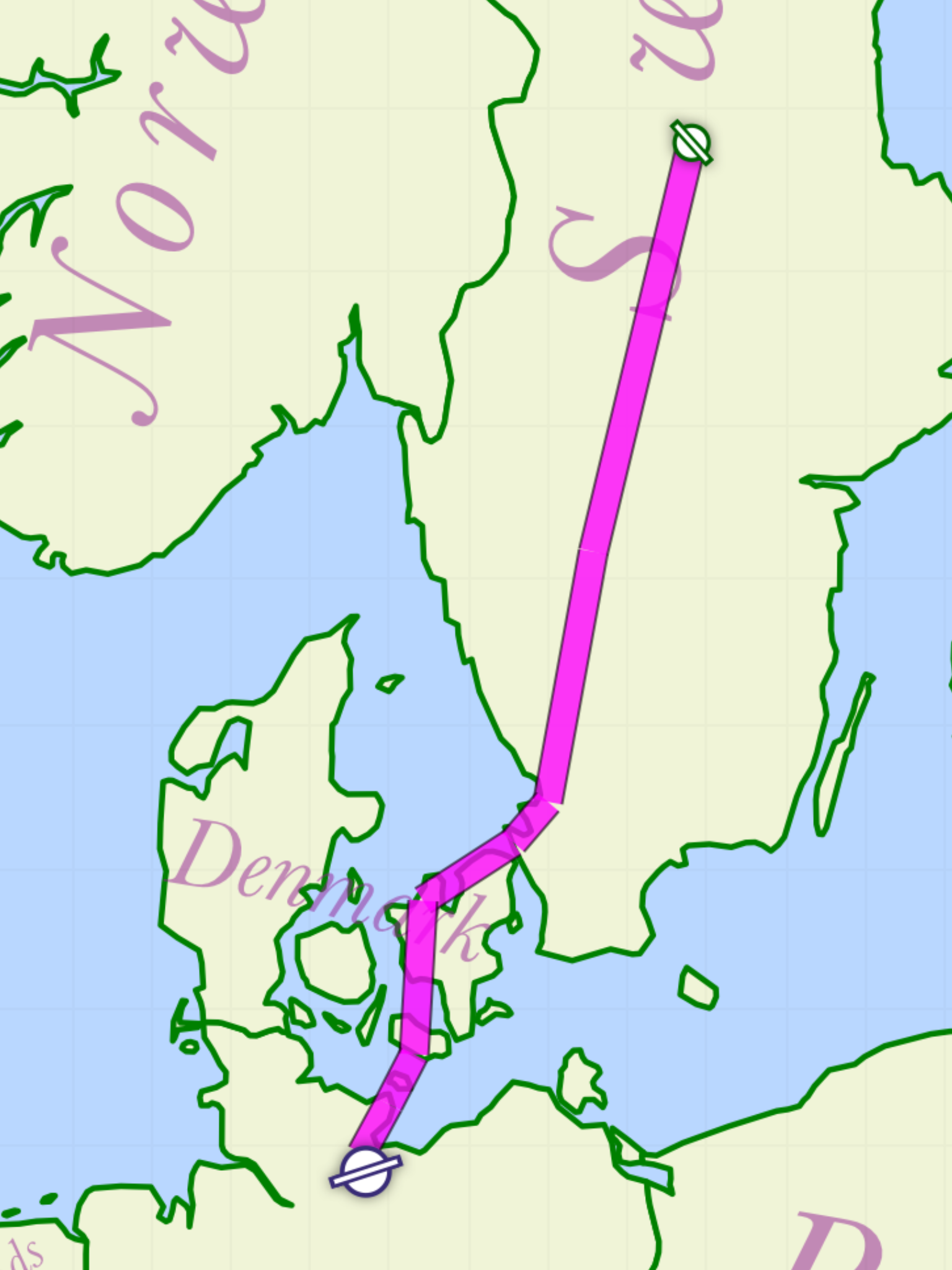
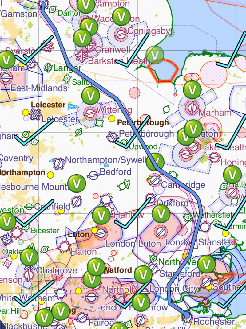
…and as it was laid out in 1:500,000 scale:

The weather in 2016 and 2017 didn’t cooperate, but 2018 was the year. The good weather causing the heatwave in the UK extended all the way to Sweden and miraculously coincided with my 12 days off from work…we could definitely aim to get out to Siljan Air Park, and the ability to hangar the aircraft and leave it there meant that getting back wasn’t such a priority.

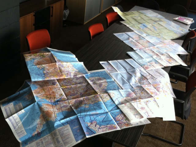
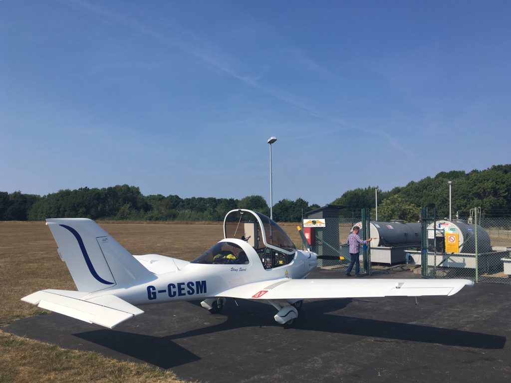
In the days before we spent quite a bit of time organising the contents of the baggage lockers. We weighed everything on accurate digital scales borrowed from work. Every kilo counted and we eventually flew with minimal overnight bags. Having stuff waiting for us at the other end obviously helped.

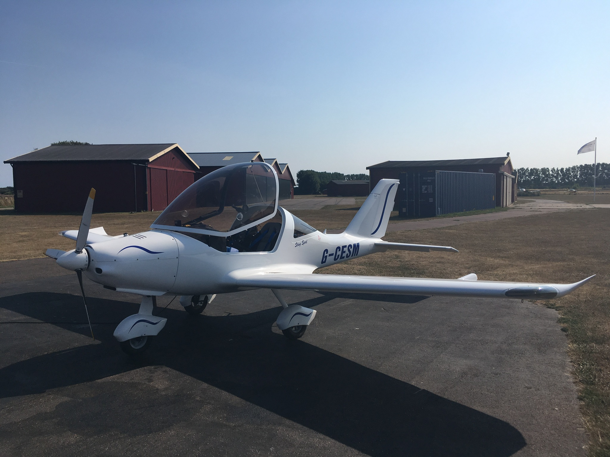
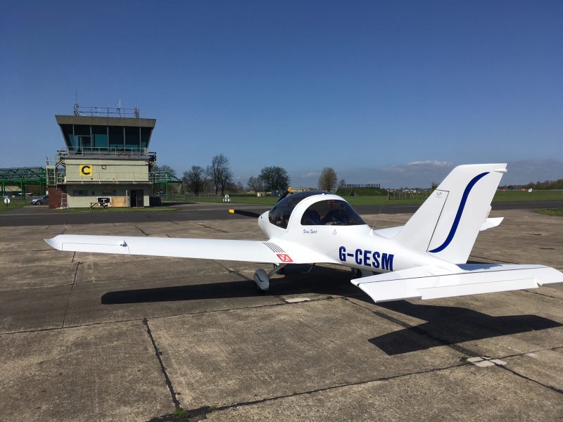
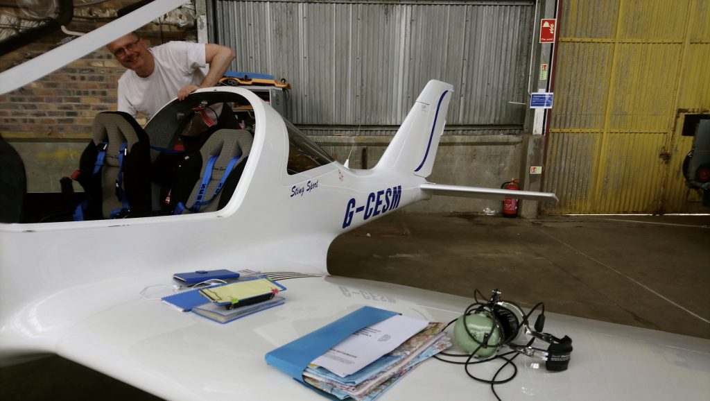
On that note, all the photos here are from phone cameras. We left the camera behind to save weight. Apologies for the quality of some of them…

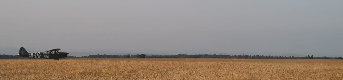
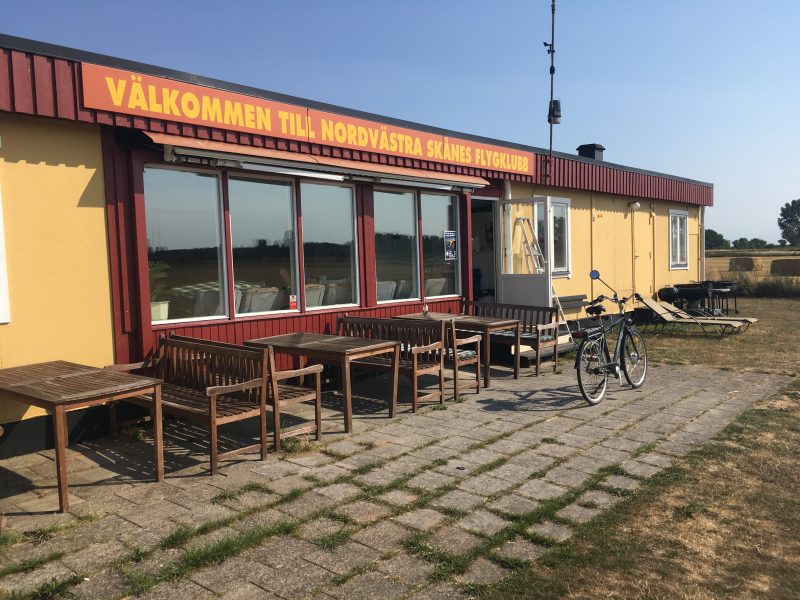
They say no plan survives first contact with the enemy…departure day was grey but workable, but when I phoned our first stop Sandtoft to book in for fuel they had run out and weren’t expecting a delivery until the next day. Rang around some other airfields in the area…Sturgate had a model aircraft display using the runway and Sherburn didn’t even answer the phone. So we gave up on airfields starting with “S” and went to Gamston instead.


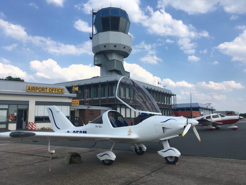
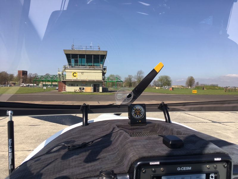
Leg One: Perth to Gamston

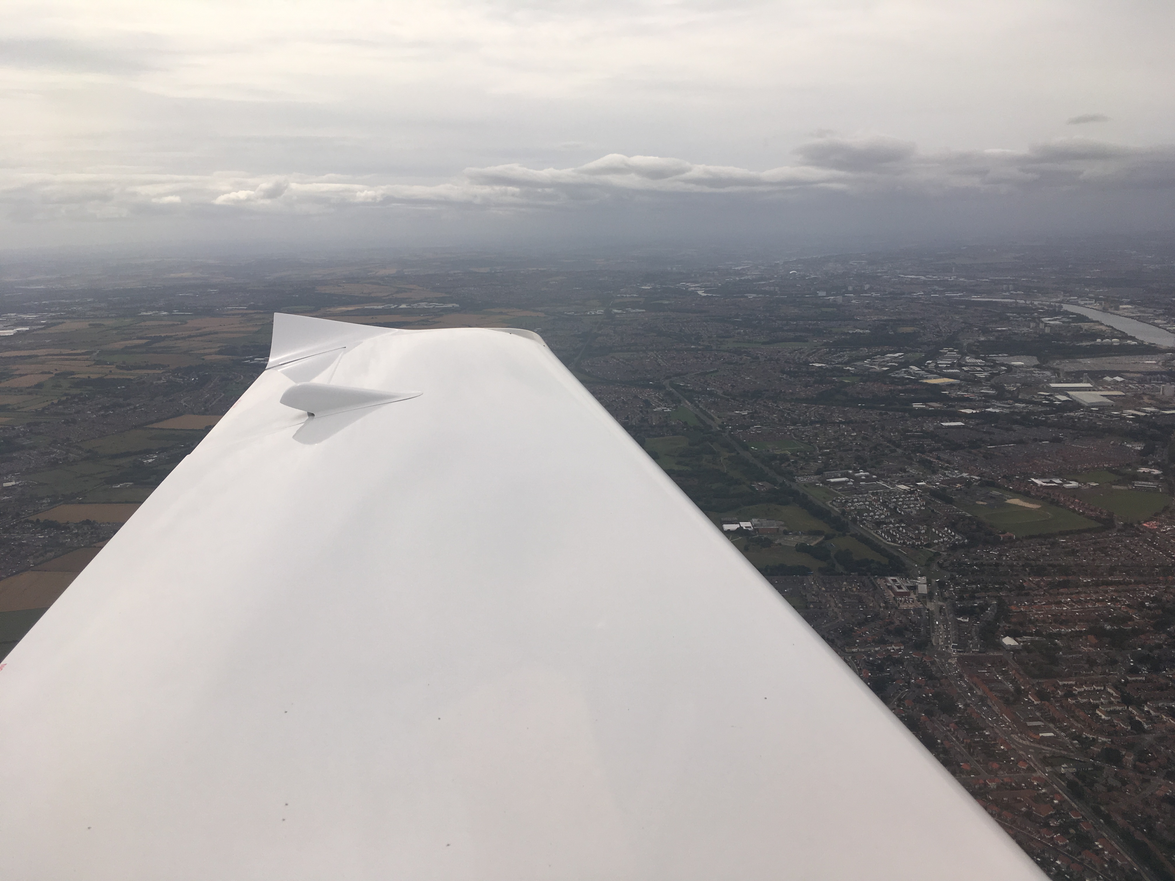
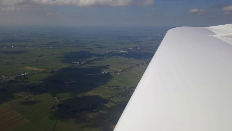
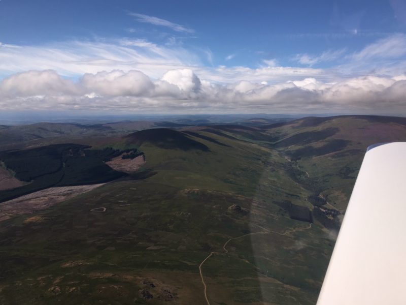
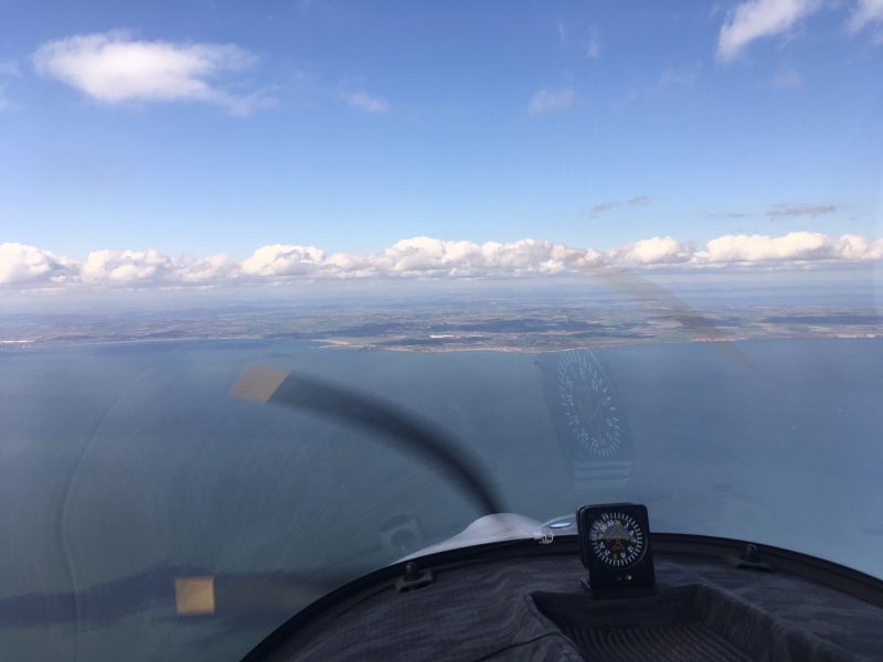
We took off on what has become our standard “Ho Chi Minh Trail” east coast route out of Perth, routing over Fife and across the Firth of Forth to North Berwick…

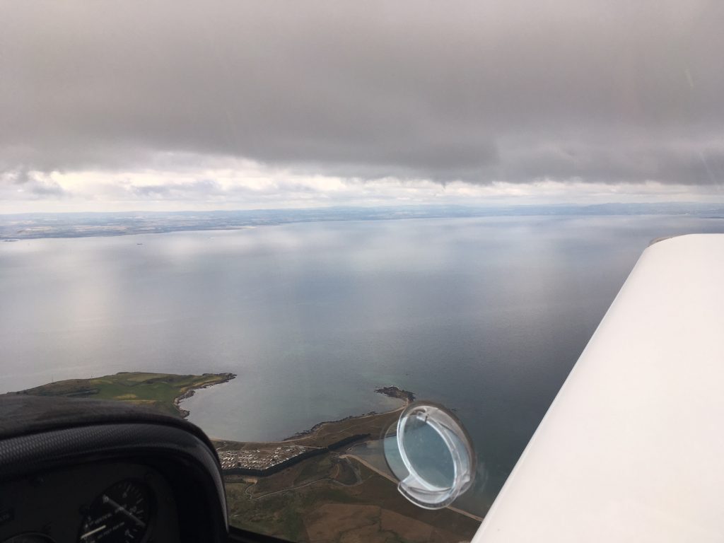
…then down past the Cheviot hills, with the weather improving all the time:
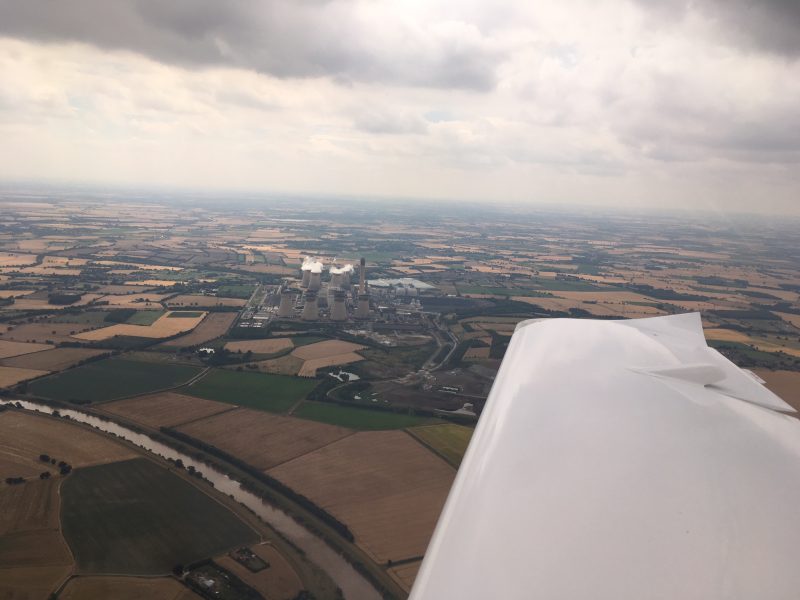
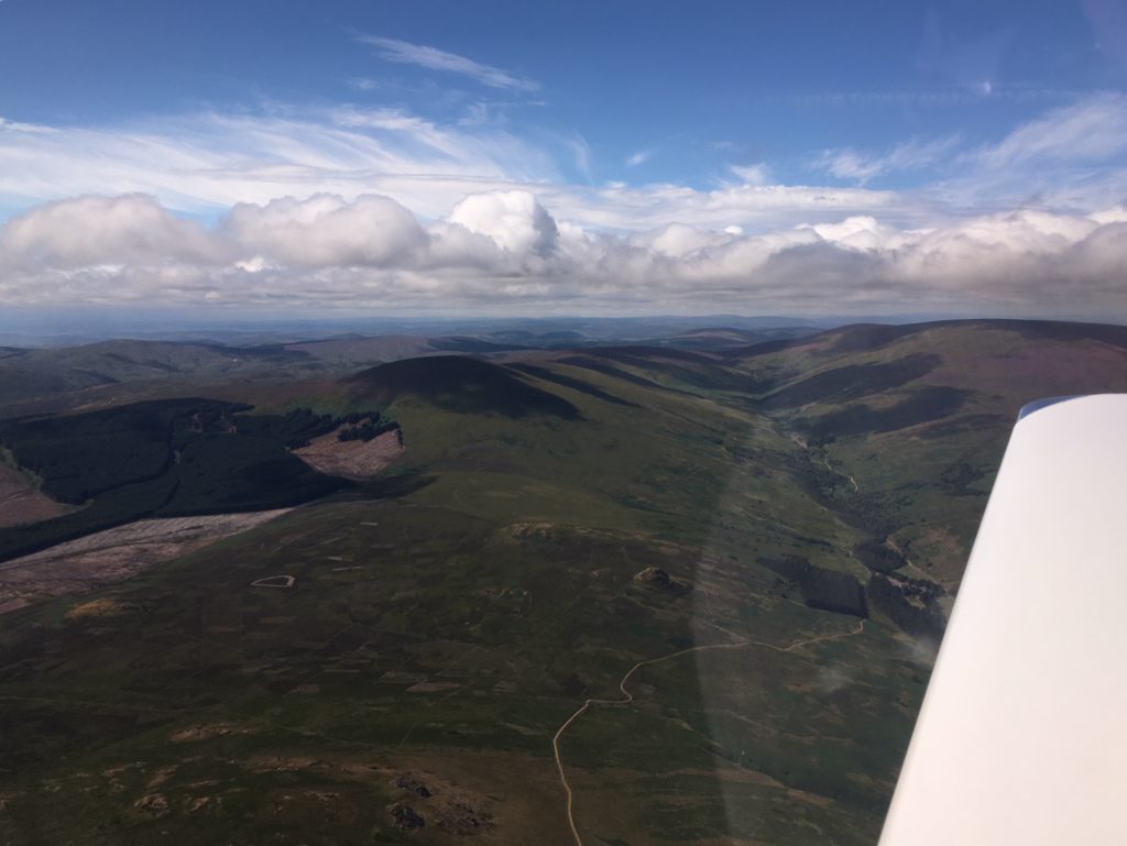
…past Newcastle and 
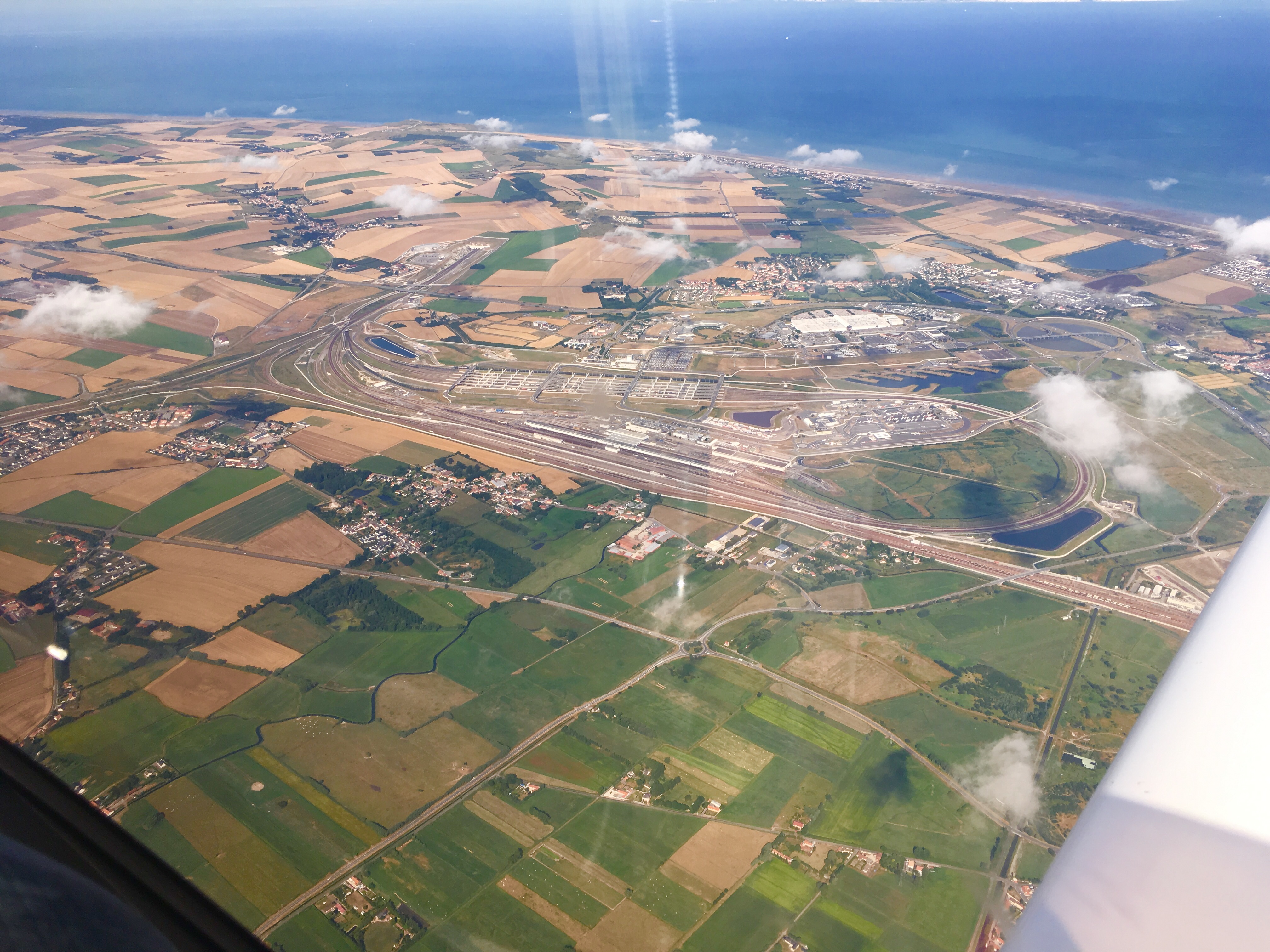
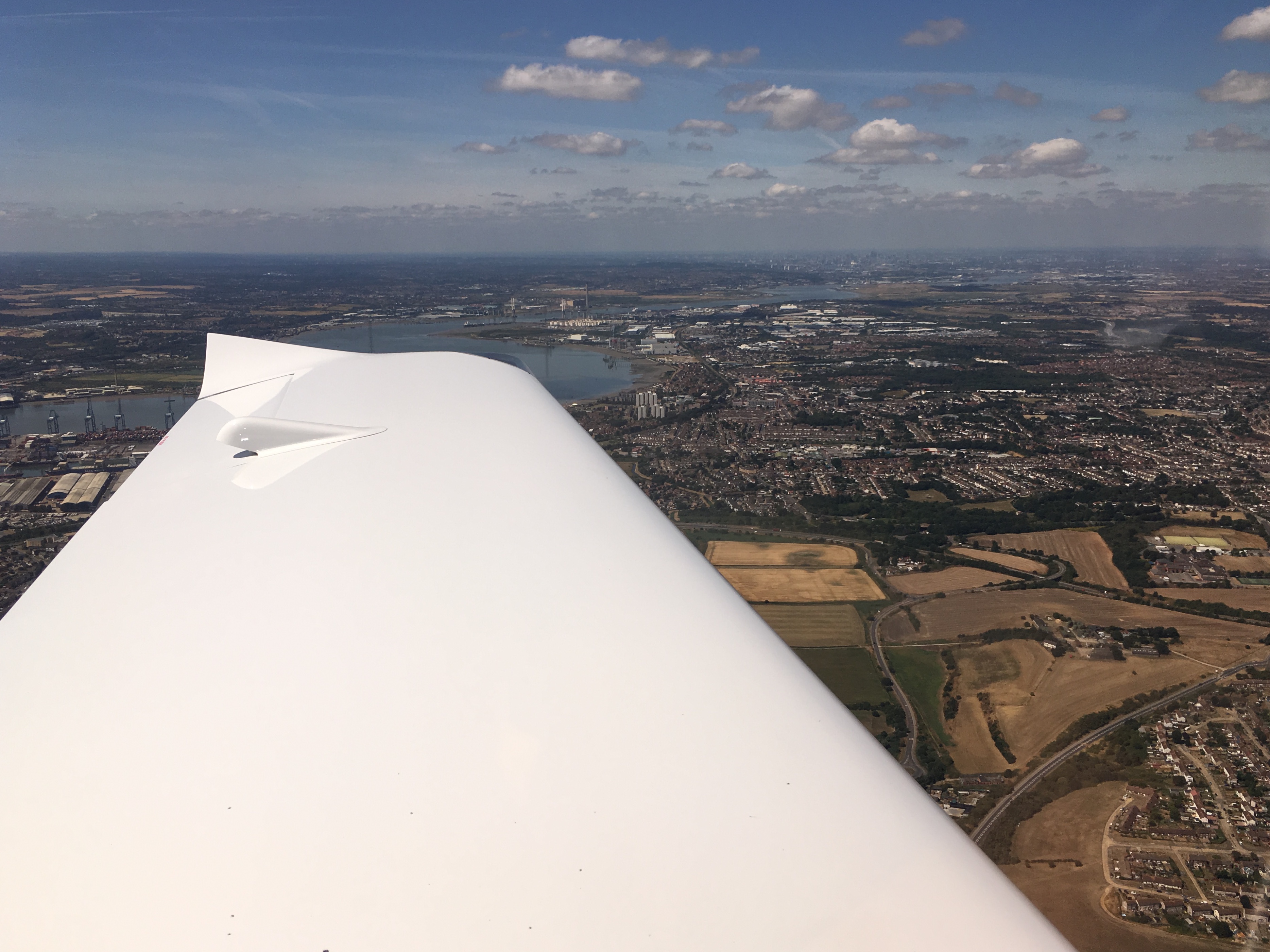
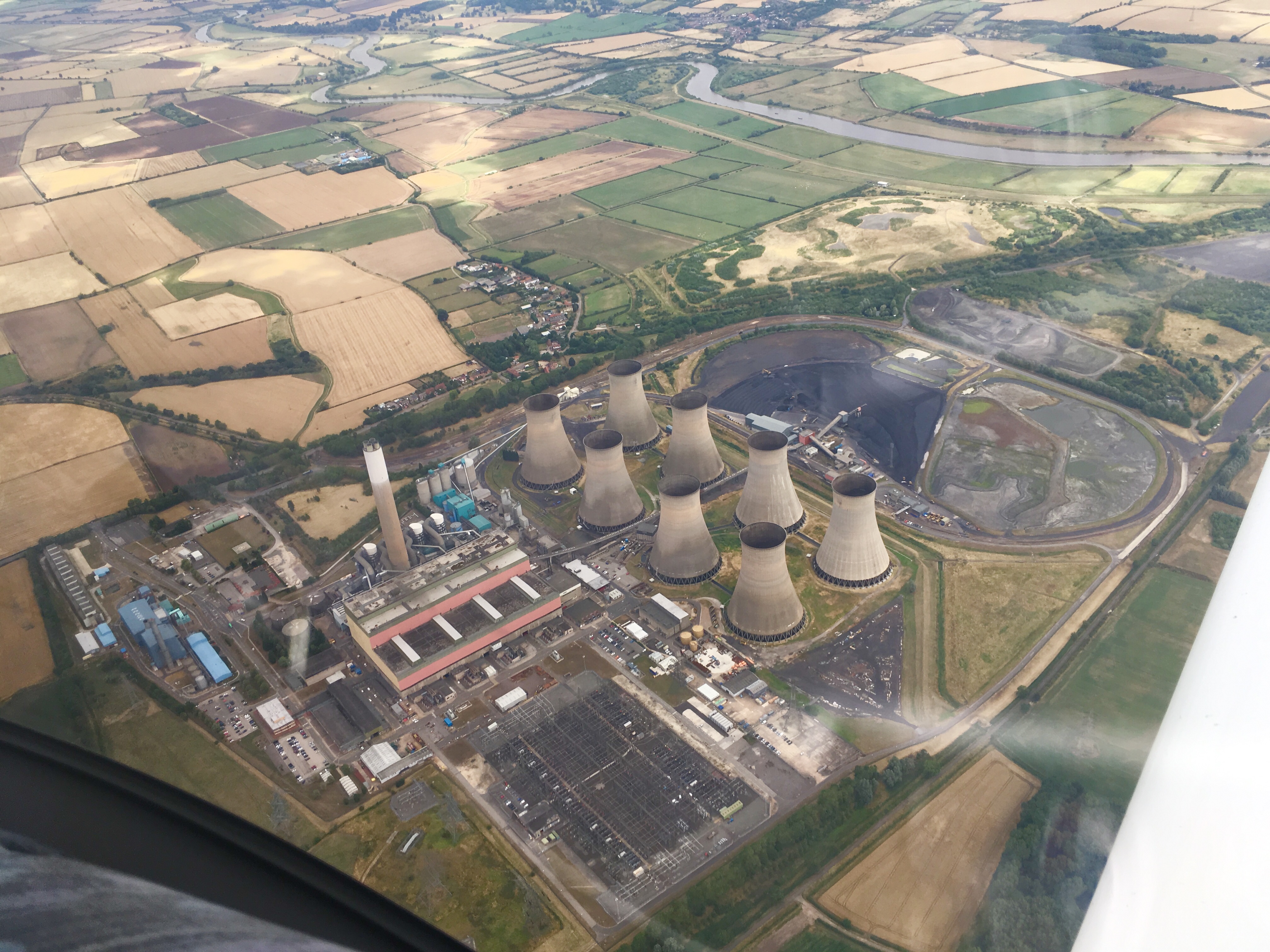
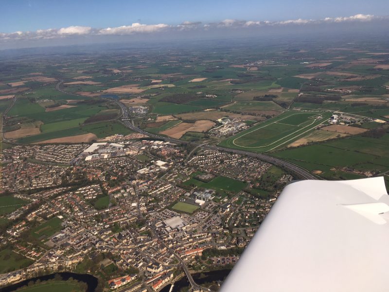
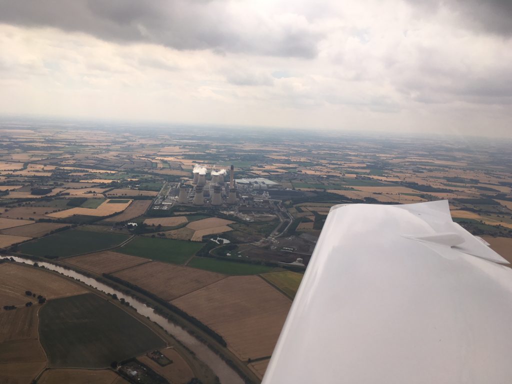
Teeside Durham Tees International airports, and onwards towards Gamston. The power stations have always provided excellent navigation features to aim for, being visible from 40 miles away.

After passing our old friend Leeds East RAF Church Fenton we were talking on the radio to Doncaster Sheffield Airport. They formerly called it Robin Hood Airport Doncaster Sheffield but dropped the Robin Hood bit when people complained that the landing fees were daylight robbery. Before that it was RAF Finningley in the good ole days.

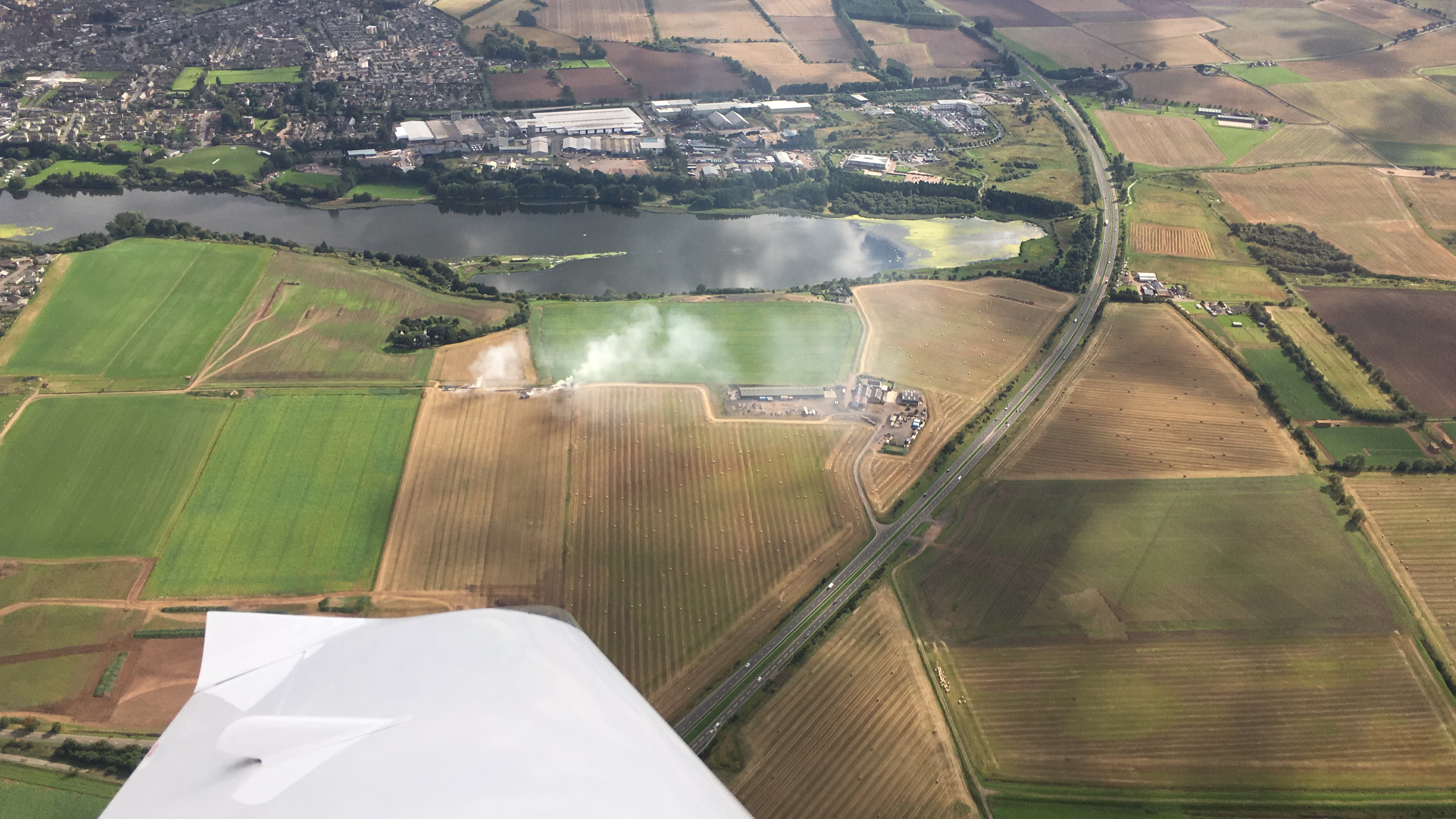
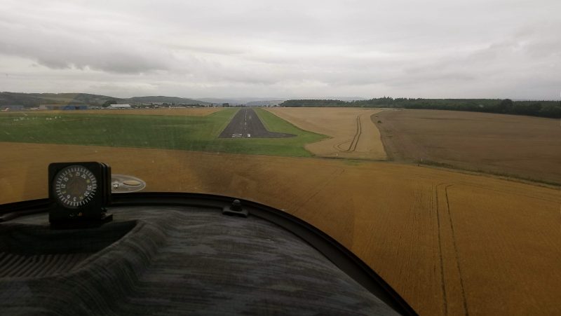
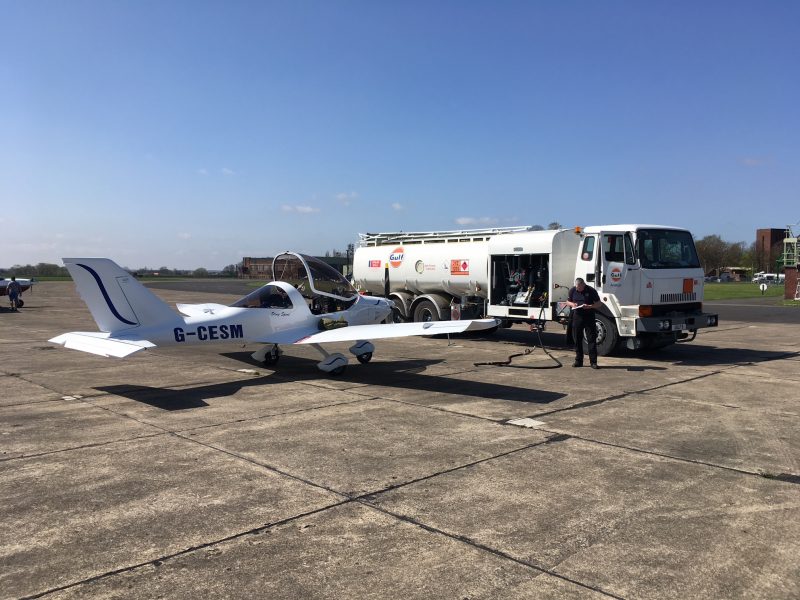
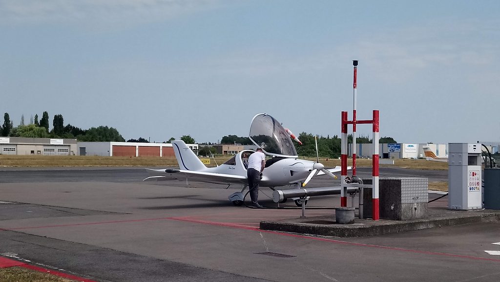
Now as Doncaster it has a big chunk of Class D controlled airspace but isn’t too busy. Gamston is just ouside the corner of their zone. We switched frequencies to them passing Gainsborough and joined overhead for runway 21. The runway must have been absorbing heat and giving off its own mini thermals because the landing wasn’t one of my better ones! Parked up at last we opened the canopy for some refreshing breeze. If 30 degree wind at 10 knots can be called refreshing?

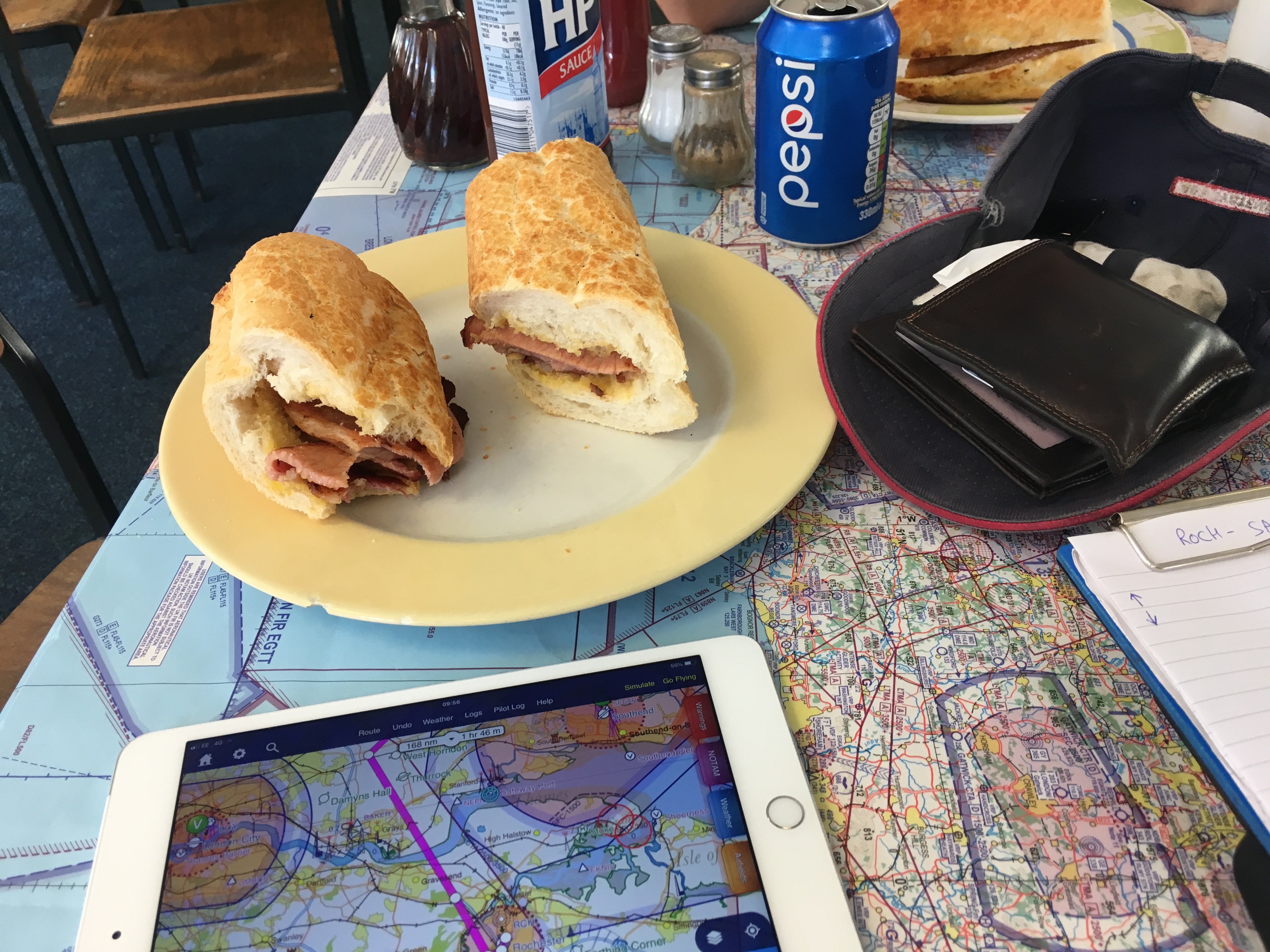
And then fuel, a cup of tea and an awesome chocolate brownie. Despite the clouds in the photo below, it was HOT. And very thermally and bumpy on the trip down.

The route:


Leg Two: Gamston to Rochester (overnight stop)

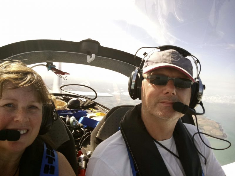
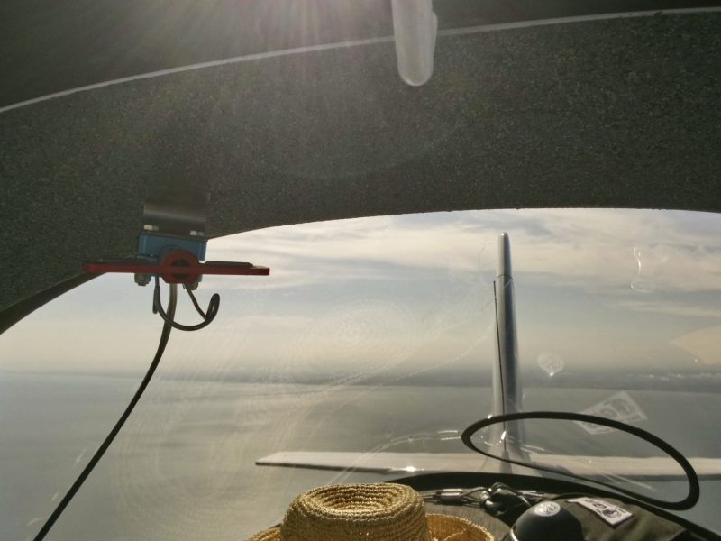
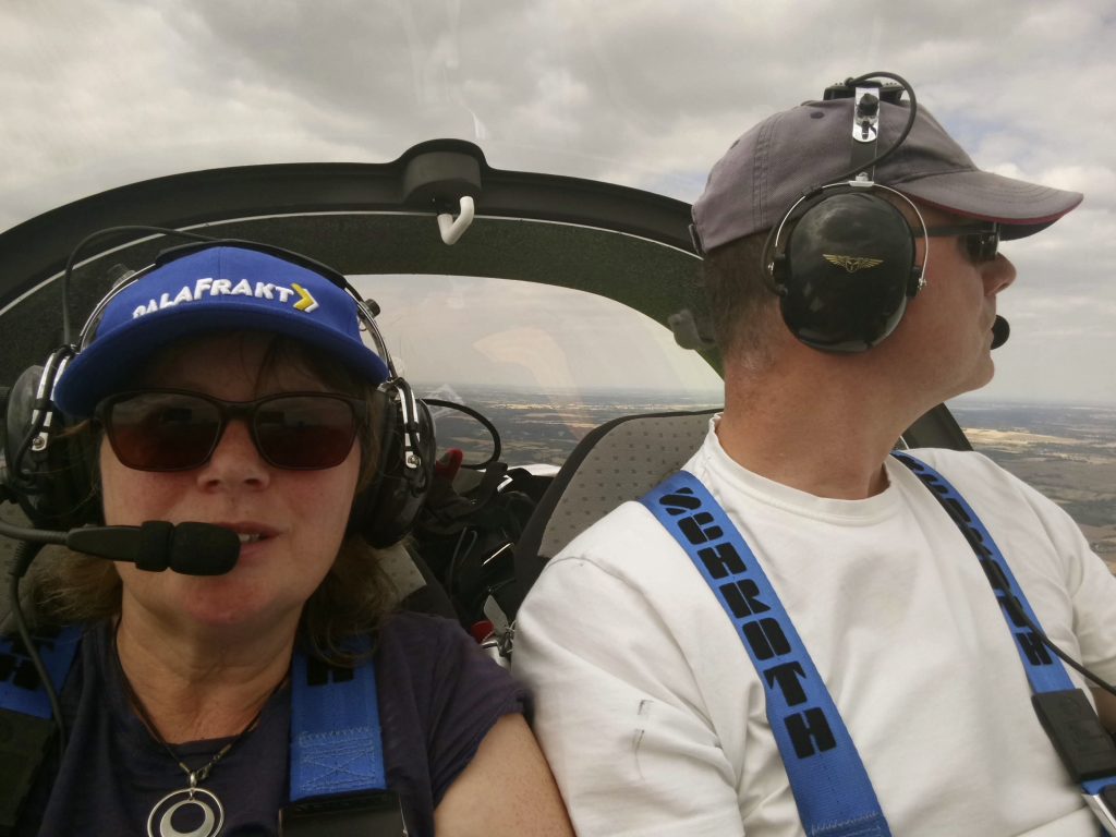
So far we hadn’t done anything new…we had flown about two hours to a new airfield for a cup of tea. Now for something different: rather than turn back and run away home we were continuing onwards. Adventure! Brenda looks a bit apprehensive:

The route took us south and east from Gamston, staying clear of controlled airspace and talking to London Information on 124.6 but after passing Peterborough we switched to Cambridge to let them know we were passing by at 3000ft, they seemed happy to hear from us.

Then the route took a more southerly track, passing between the control zones of London Stansted and Southend. We set the listening squawk on the transponder which tells the controller we’re on his frequency and listening…if he sees your blip on his screen getting a little too close to his airspace he knows he can contact you. As it is we stayed well clear and didn’t get any grumpy calls from ATC.

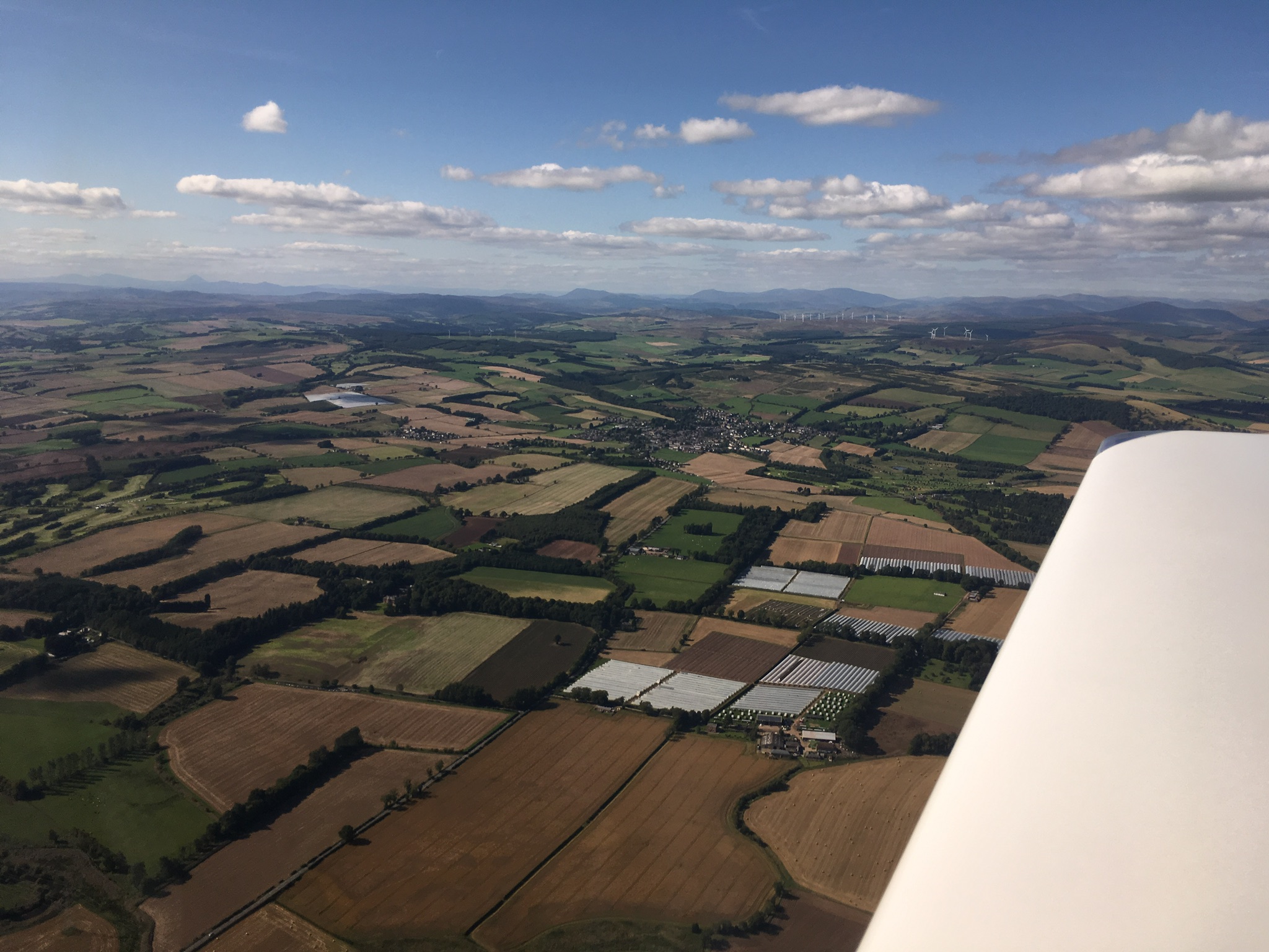
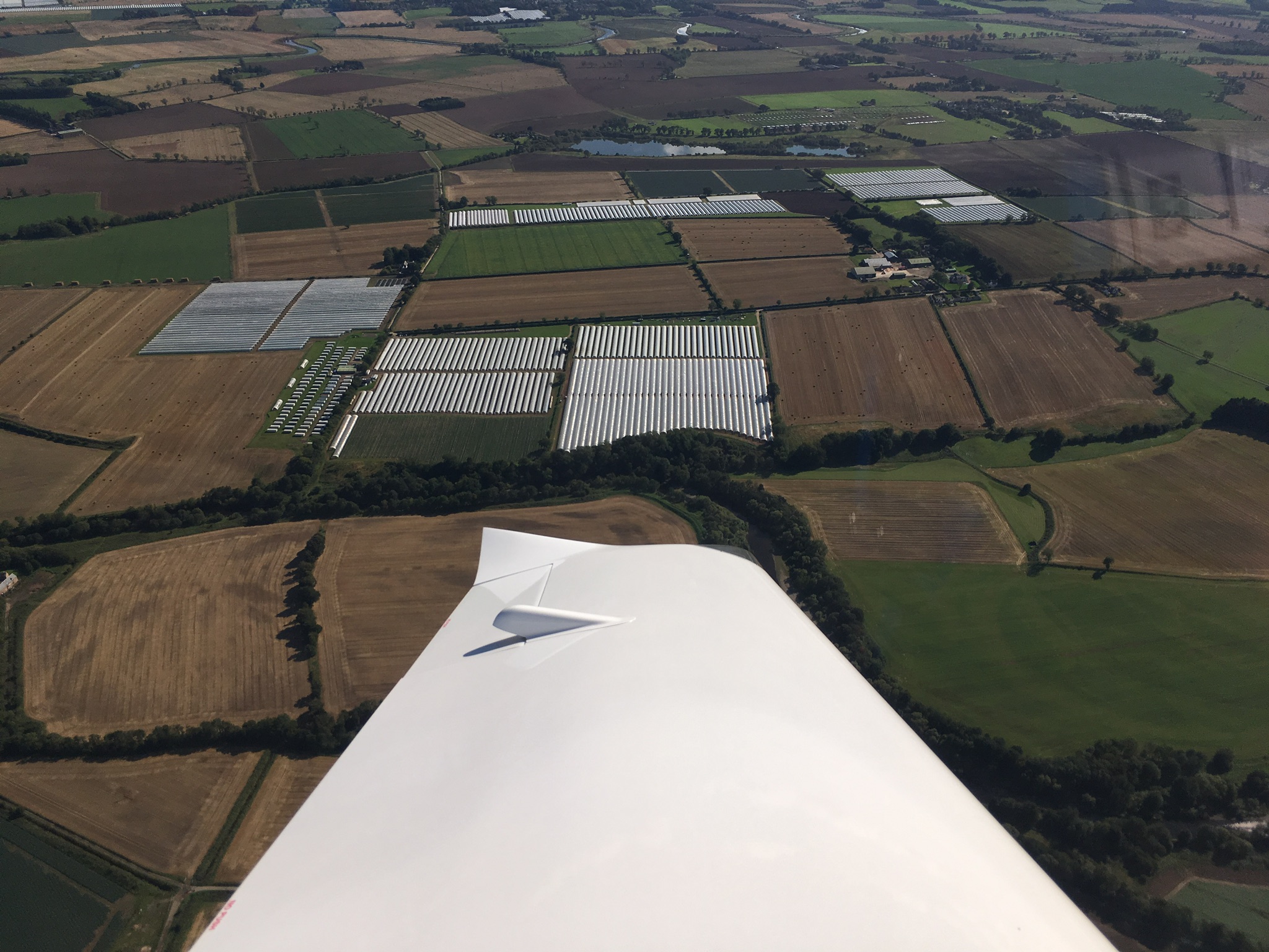
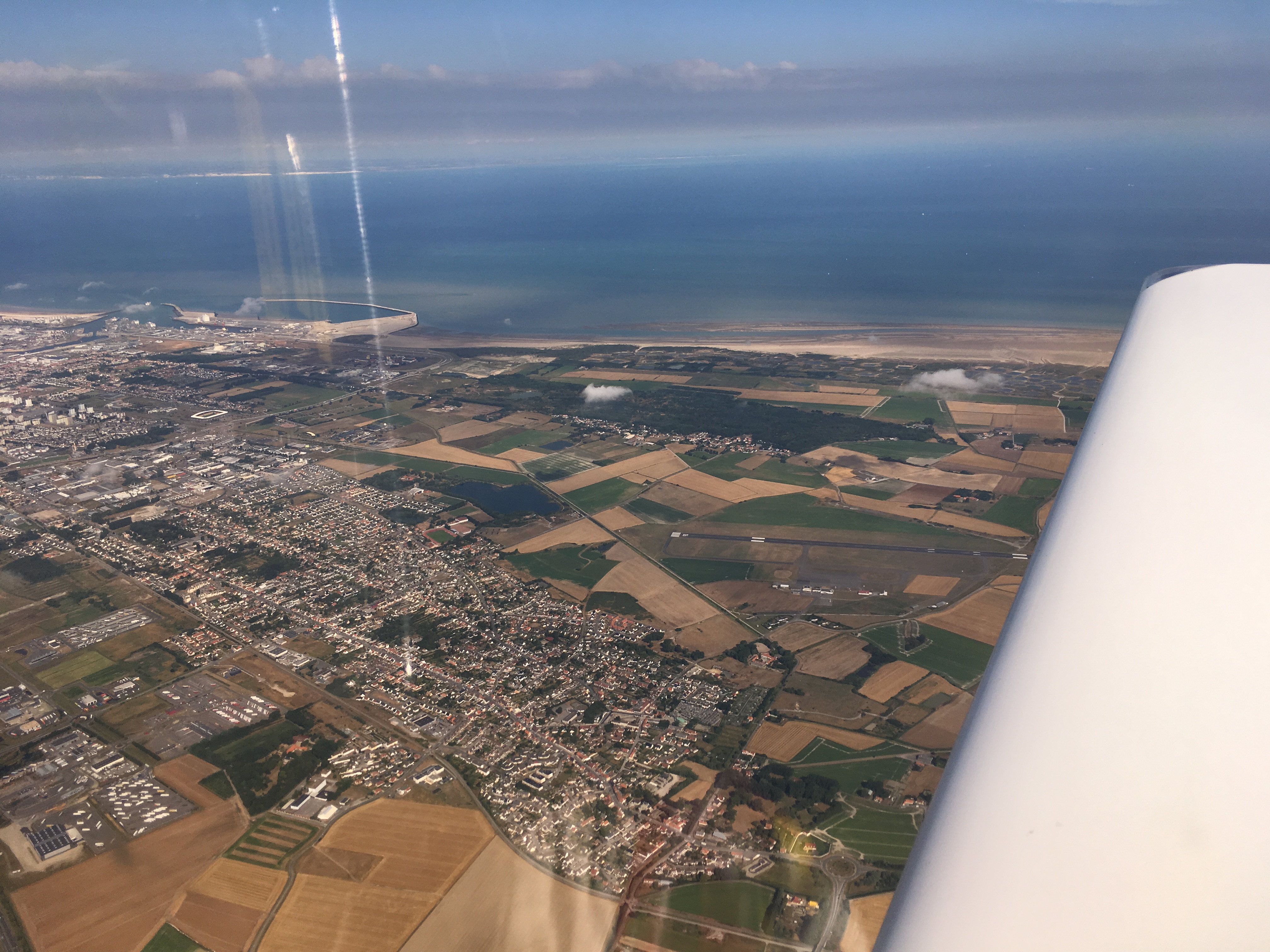
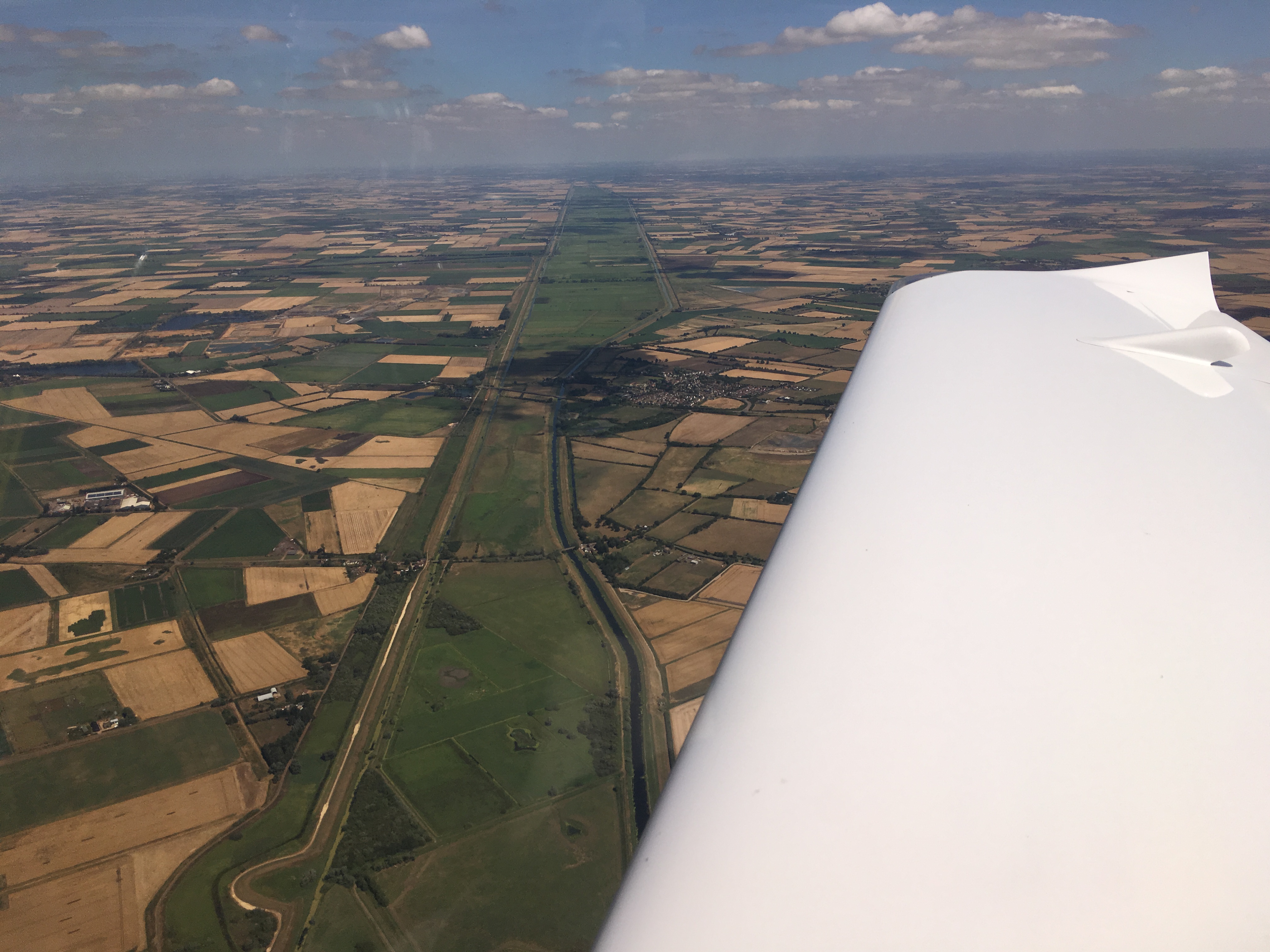
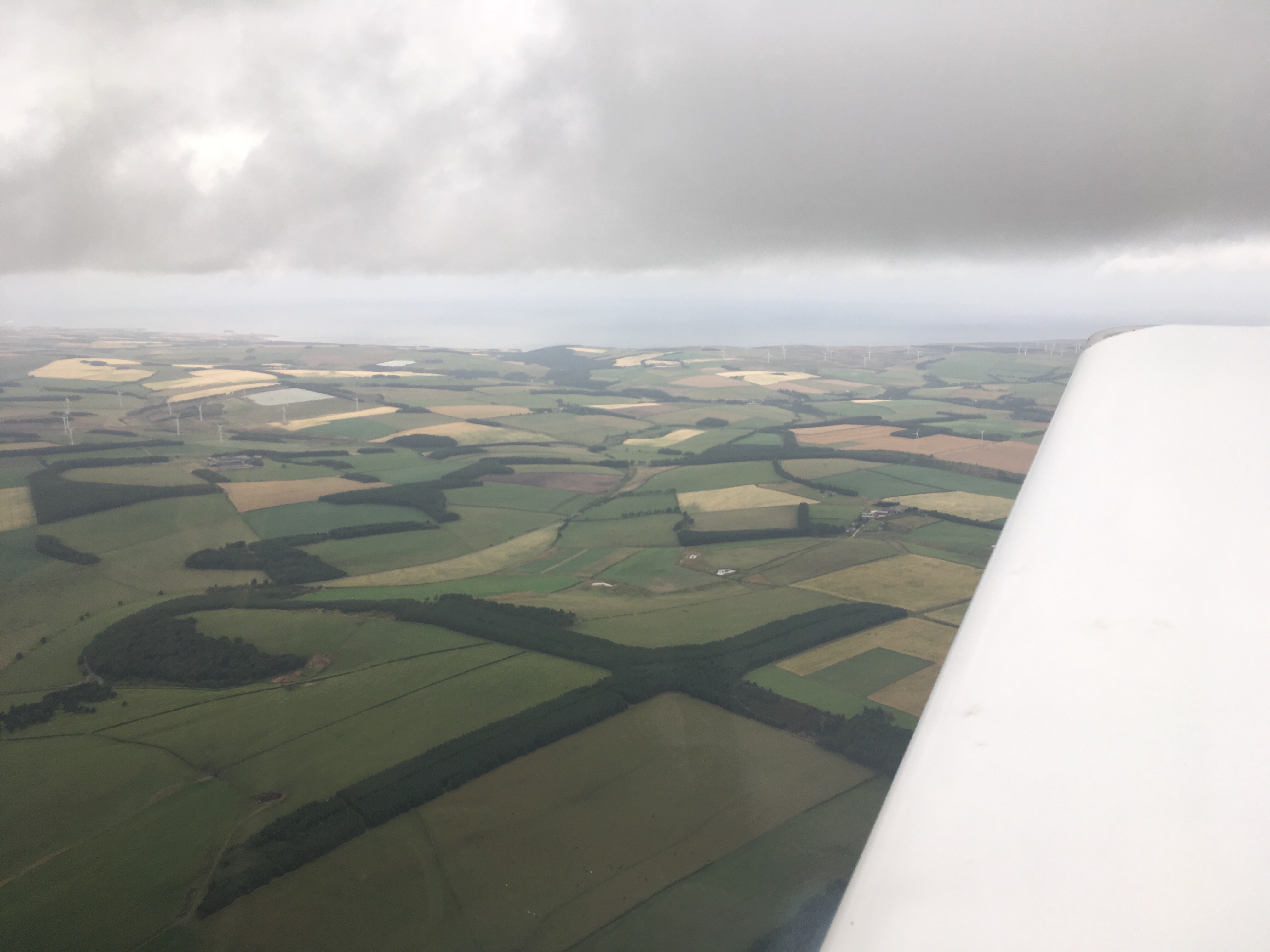
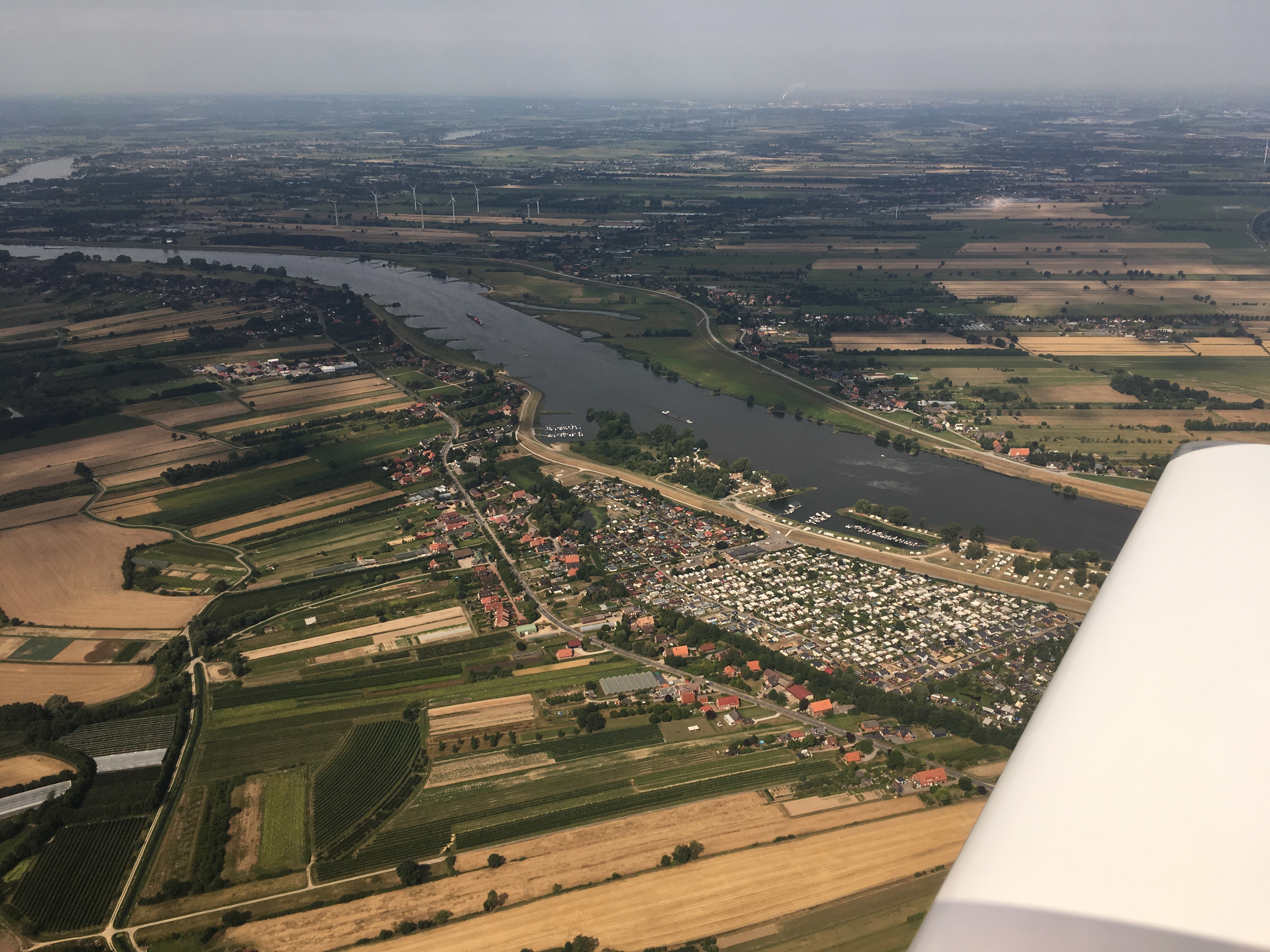
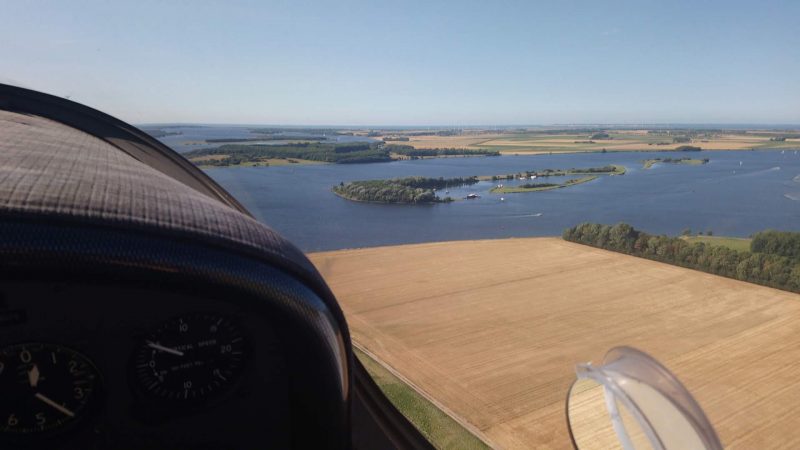
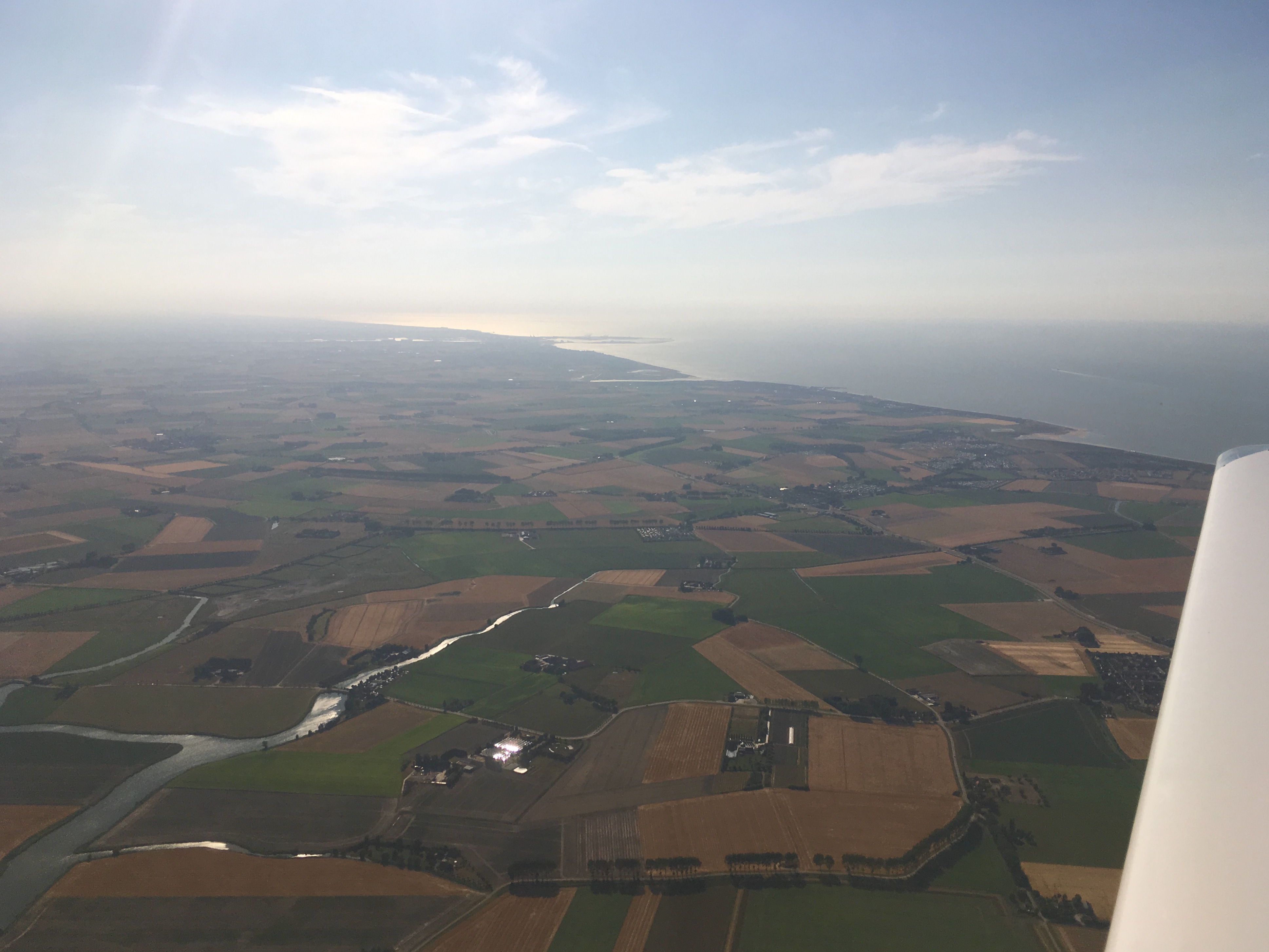
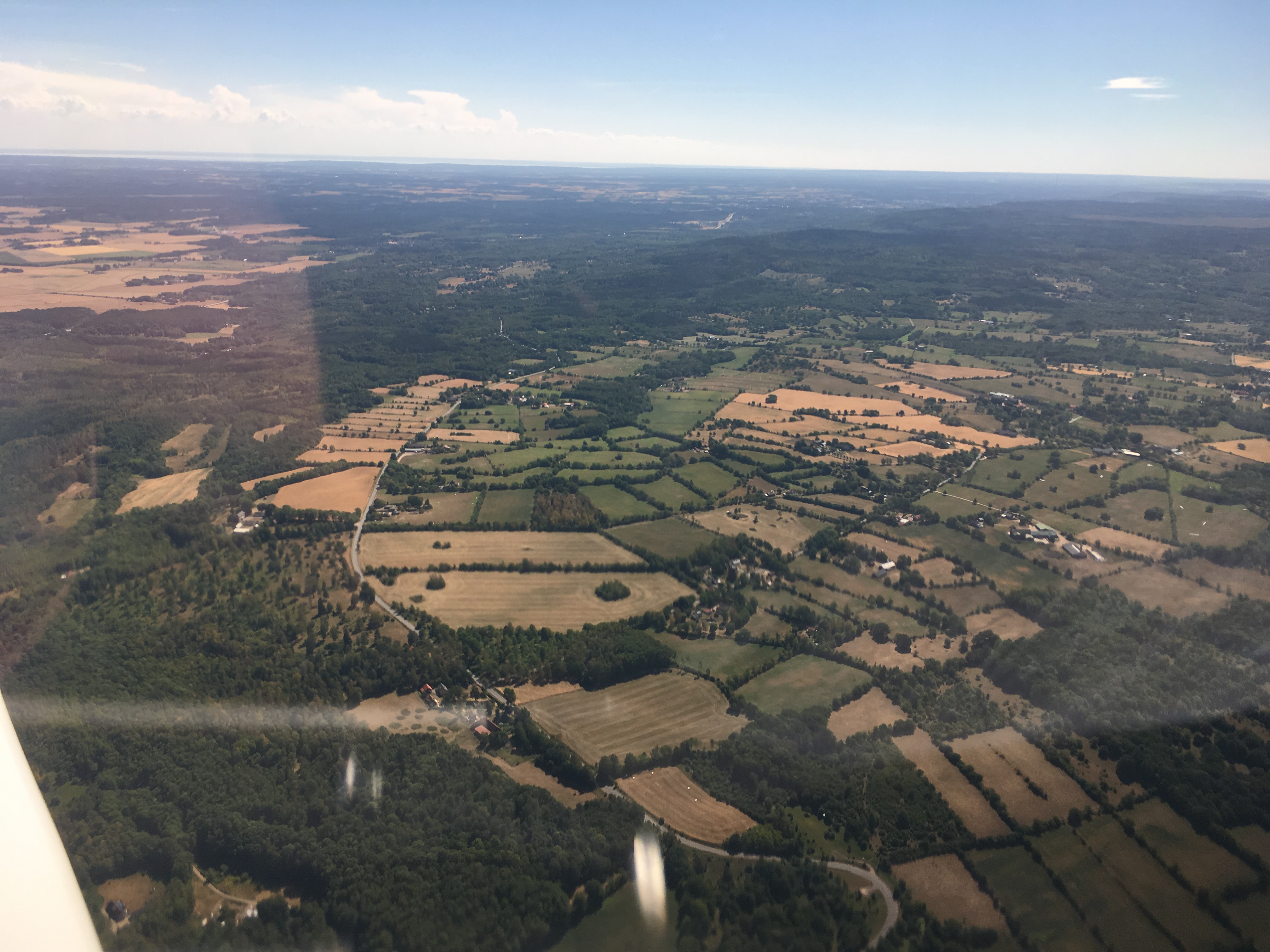
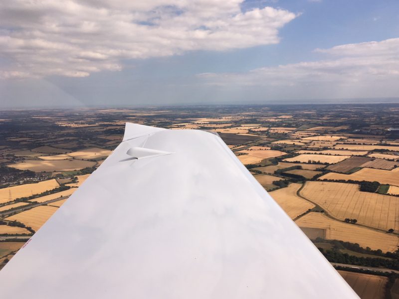
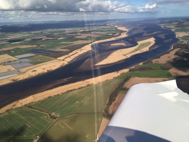
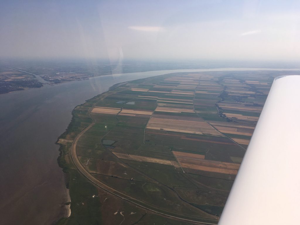
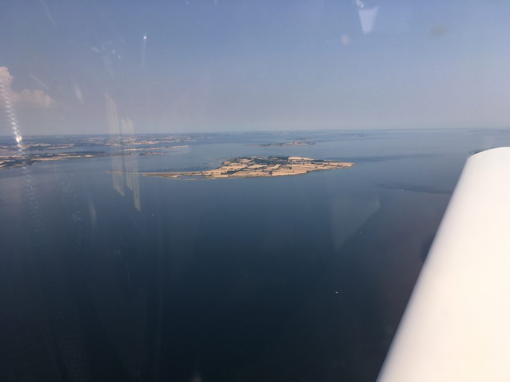
As we made our way down the landscape it looked really dry and parched:

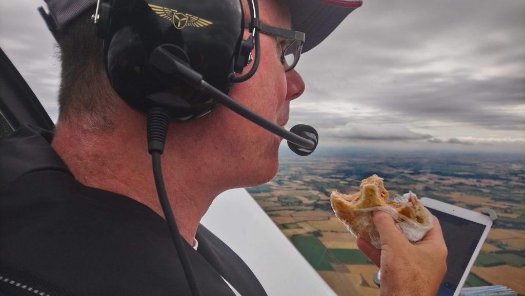
One advantage of the heat – it made the ham roll taste like a bacon roll! We shared this one and didn’t get food poisoning.

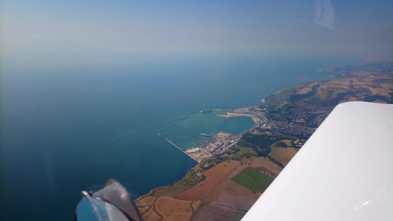
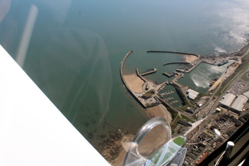
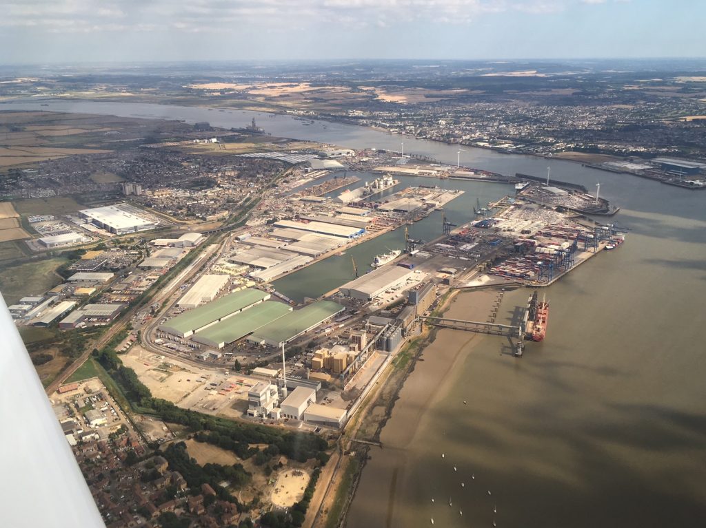
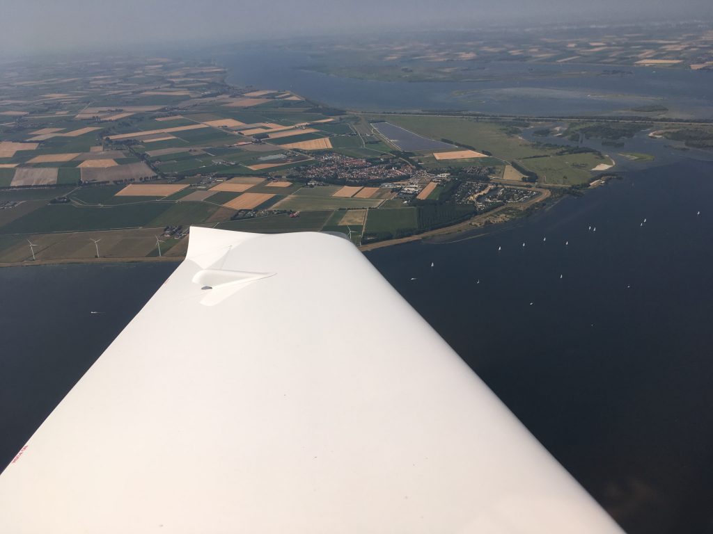
After Chelmsford and Billericay (Hi Joe!) we headed for the Thames at Gravesend, passing over the docks at Tilbury:

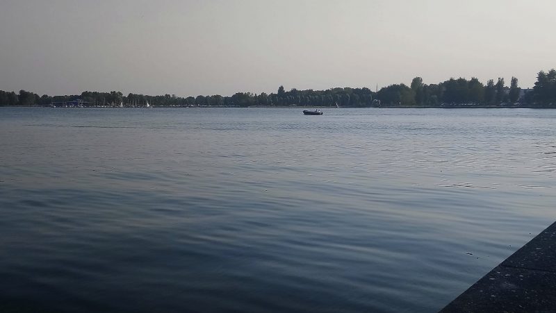
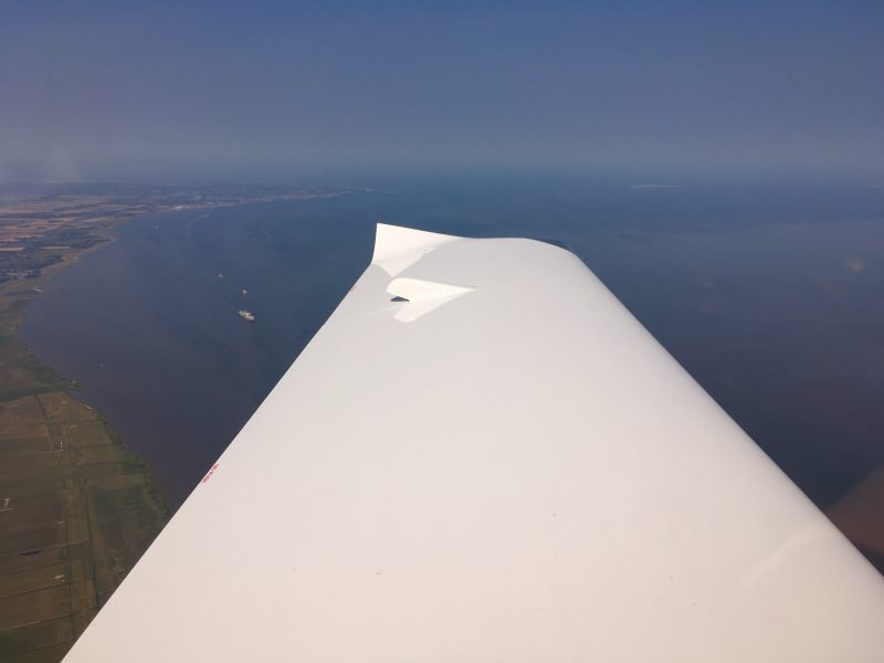
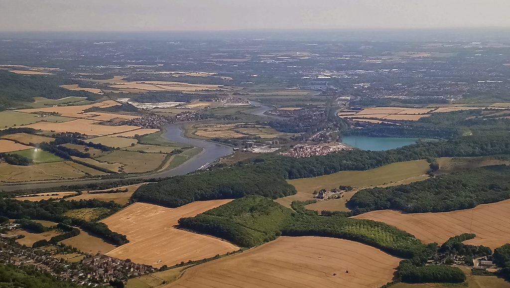
Once across the river and over Kent we saw this really blue lake…it was a lot bluer in real life, honest.

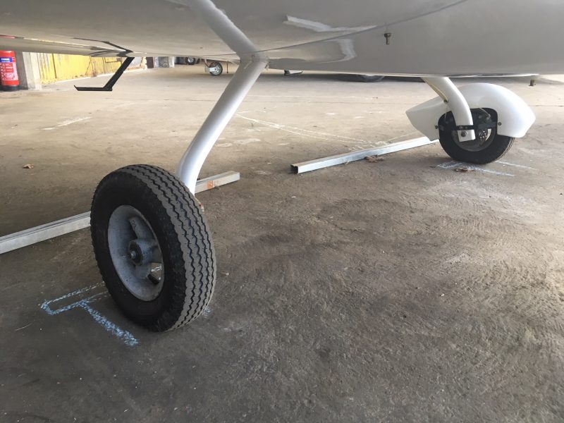
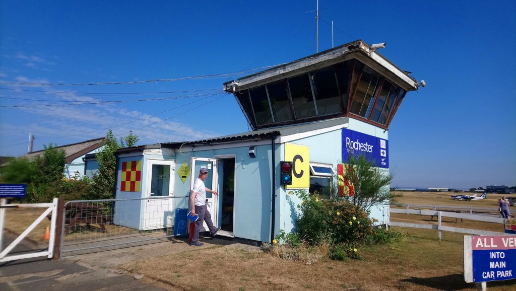
The grass airfield at Rochester was just as parched as the rest of the country, but we found it OK and soon were safely on the ground and putting on the aircraft covers for the night. We also had a lightweight tie down kit just in case it was forecast to be windy, but it wasn’t needed.

Rochester has a Holiday Inn right next to the airfield entrance, even offering a discount to those who fly in, but it was full. Booking.com found space at the next nearest hotel, and after a 20 minute walk in the sweltering heat we were at the Bridgewood Manor and a lovely cool shower, followed by a lovely cool cider and a burger. Day one was complete!


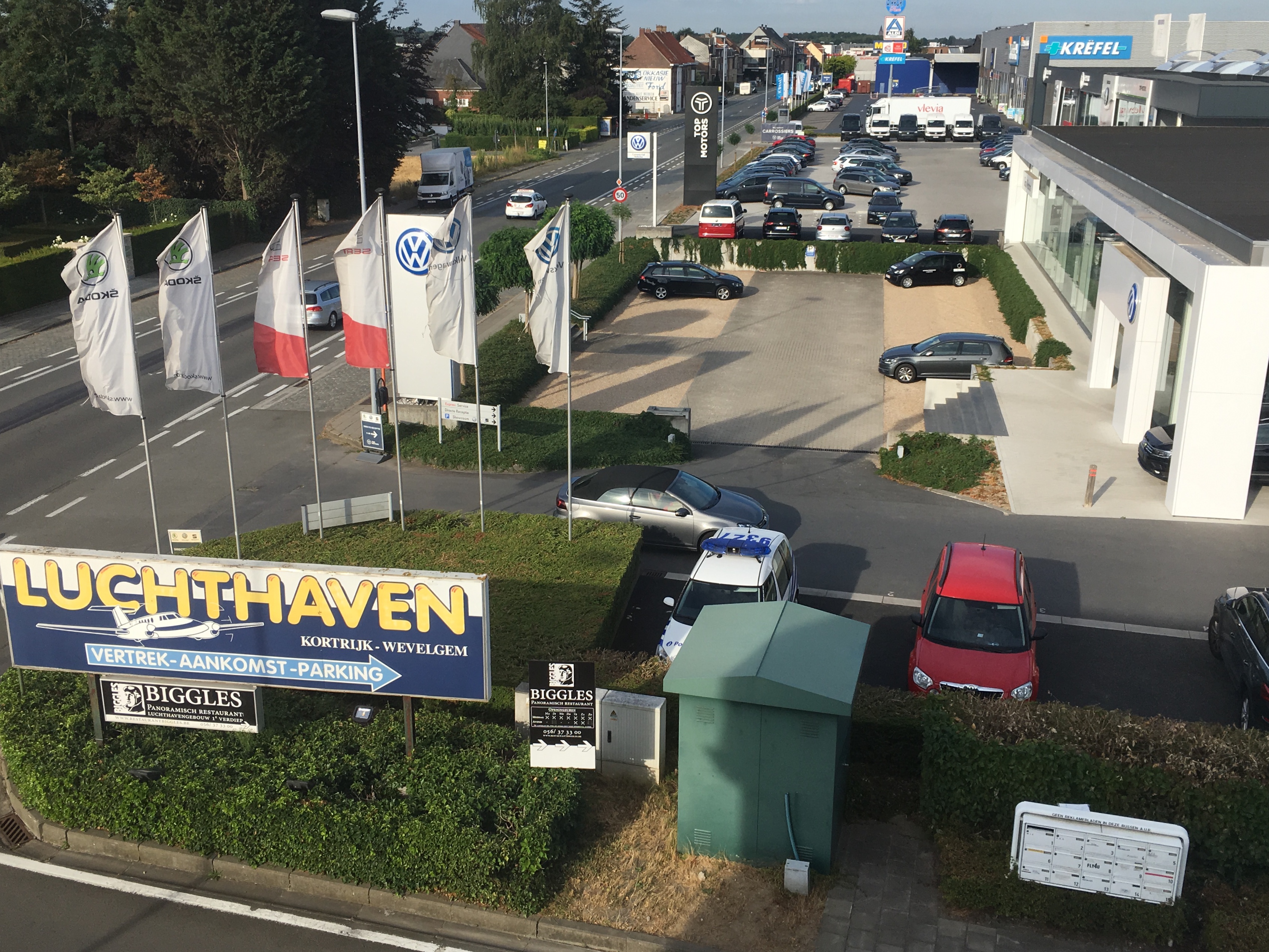
Leg Three: Rochester to Kortrijk (Belgium)

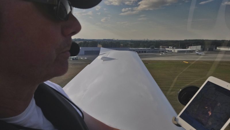
I woke up with butterflies because this was about to become completely new. 10,700 hours of flying and still a light aircraft Channel virgin. I’ve crossed into Europe countless times in previous existences, both fixed-wing and rotary, but for those we had the backing of an operations department doing all the hard work. Now it was just us.

It wasn’t the flying that was different, just the procedures and paperwork. In the end it was basically a non-event…anybody wondering about whether they should do it, should just go and do it.

Onwards! Because we were planning to cross into another country’s airspace we needed to file a flight plan. The Skydemon software on the iPad made this quick and easy. It became our ops department. The morning was already warming up as we went to the tower to check that the flight plan had been received.

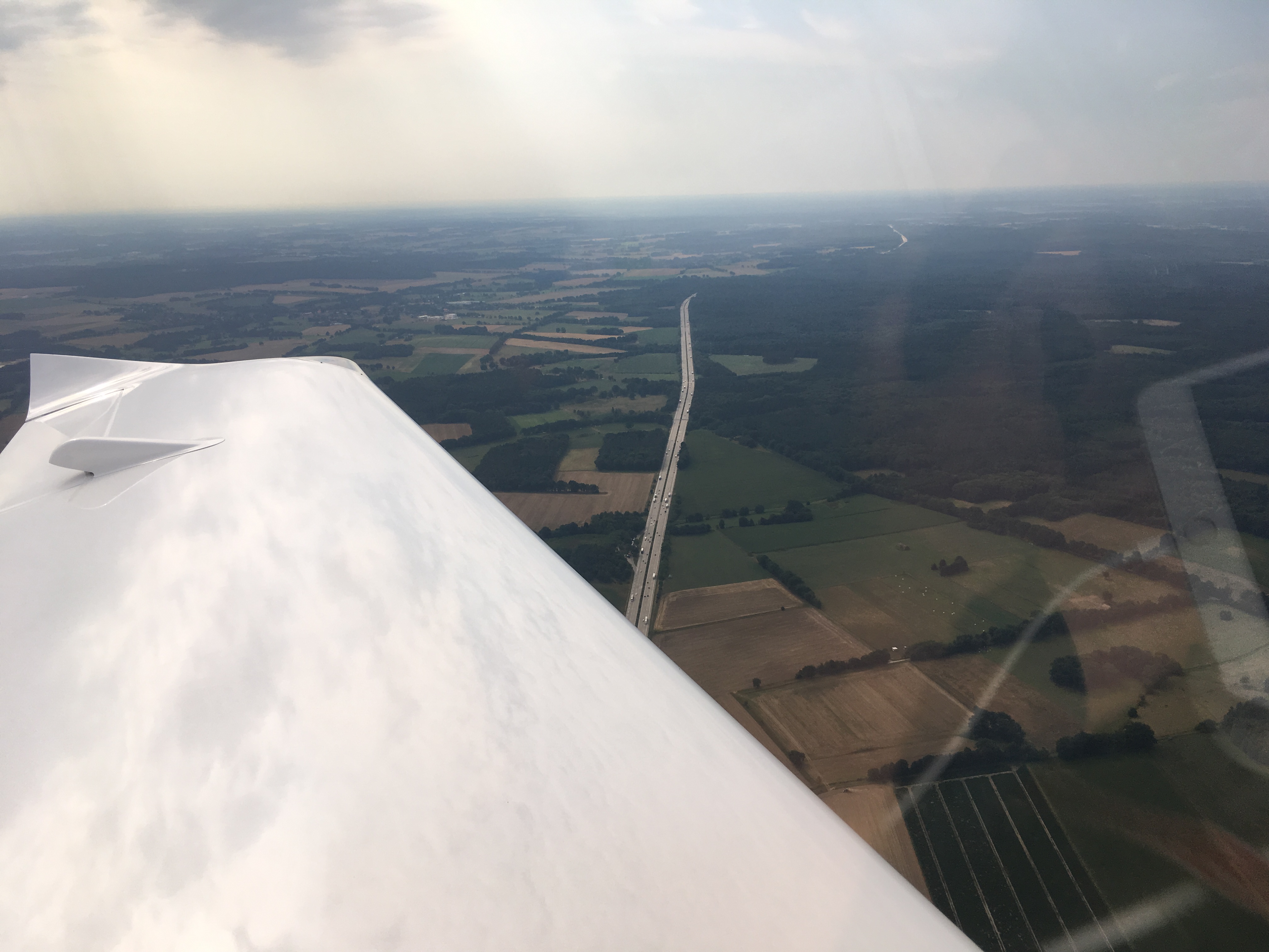
The take off run was long and climb was shallow due to the heat driving up the density altitude. Departure from the southerly runway at Rochester passes over the M2 and a whole bunch of trees. We were relieved when the North Downs eventually dropped away and gave us extra height above the ground.

Lenny in the tower at Rochester had opened our flight plan on the system, which meant that we didn’t have to  activate it on the radio with London Info – one less thing to worry about.

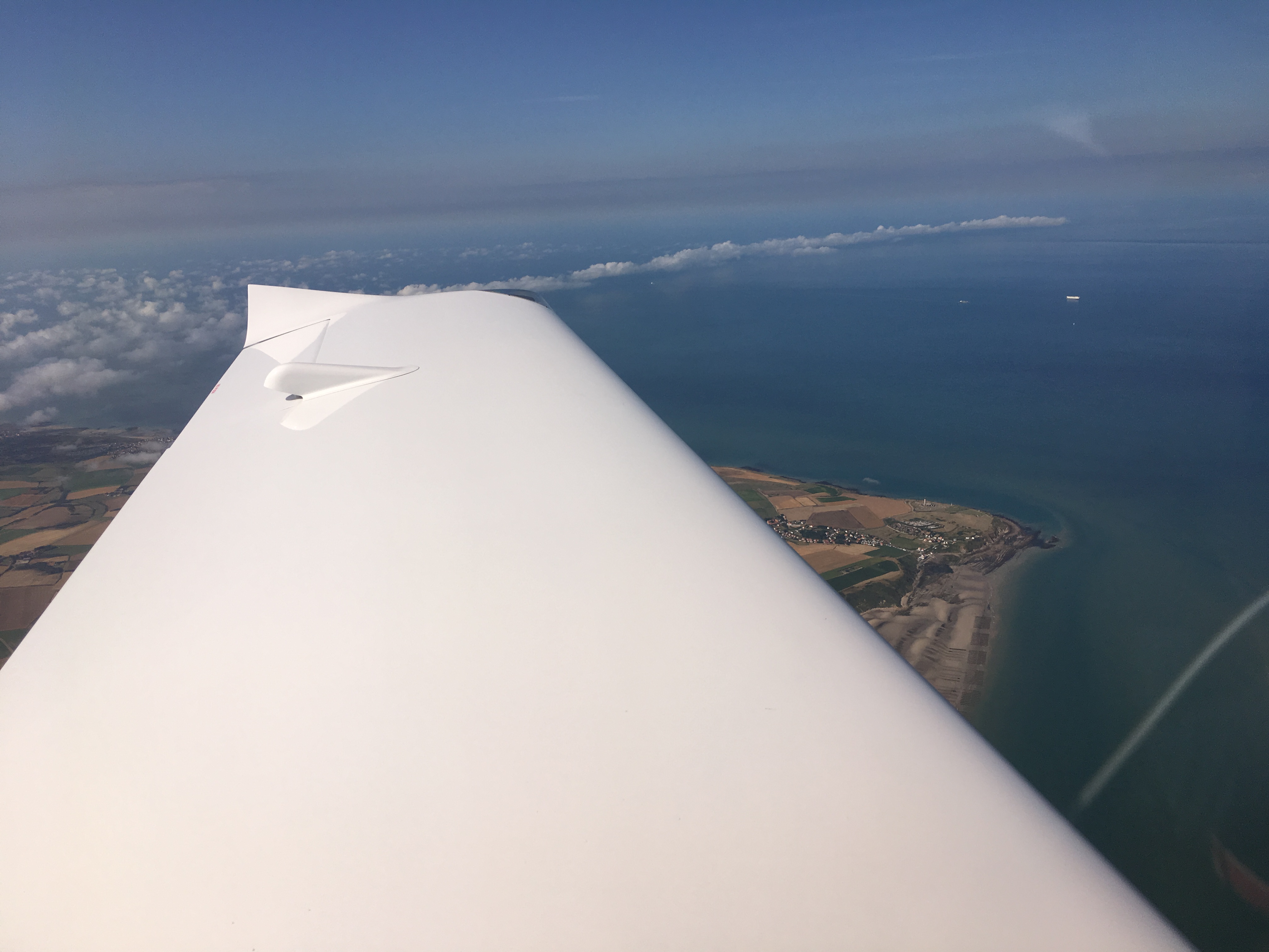
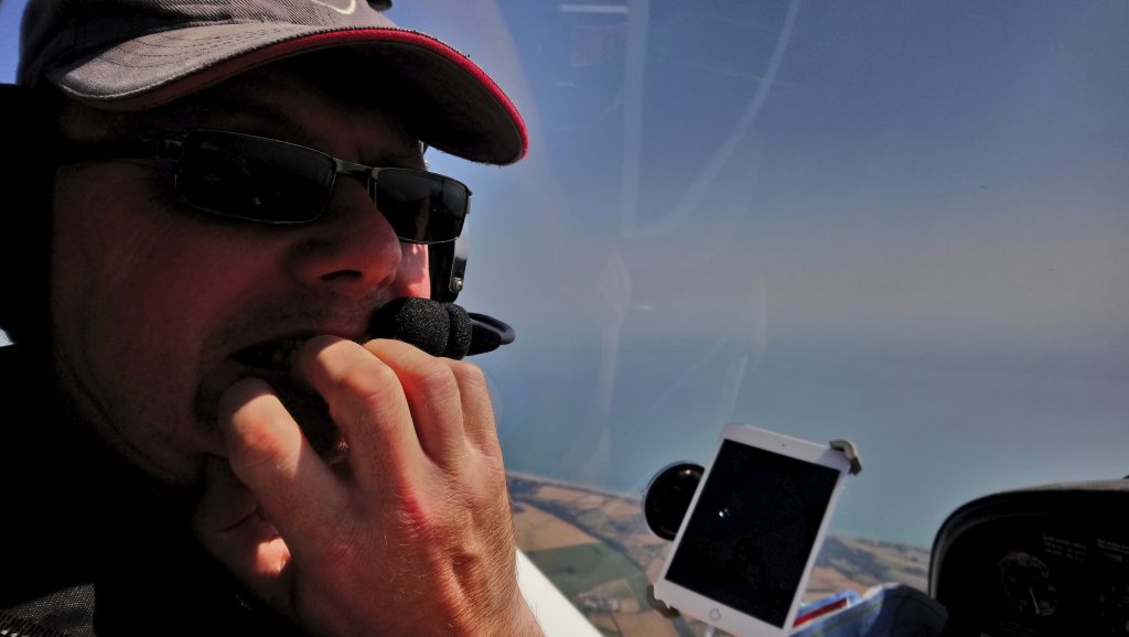
A left turn towards Dover and we could see the coast on both sides and ahead. If we kept on we would eventually run out of England, and that’s what happened. A right turn at the DVR beacon and we set course for Cap Gris Nez, which would give the shortest water crossing.

By this time we were up in the slightly cooler air at 5000ft, talking to London Information again. Just after they asked us to report mid-channel, a guy we had been chatting to on the ground at Rochester came on frequency – he was in a Piper Arrow routing direct to Lille on a business trip.

Here we are, nervous and excited and scared and confident all at the same time, just about to cross the coast and leave the UK.

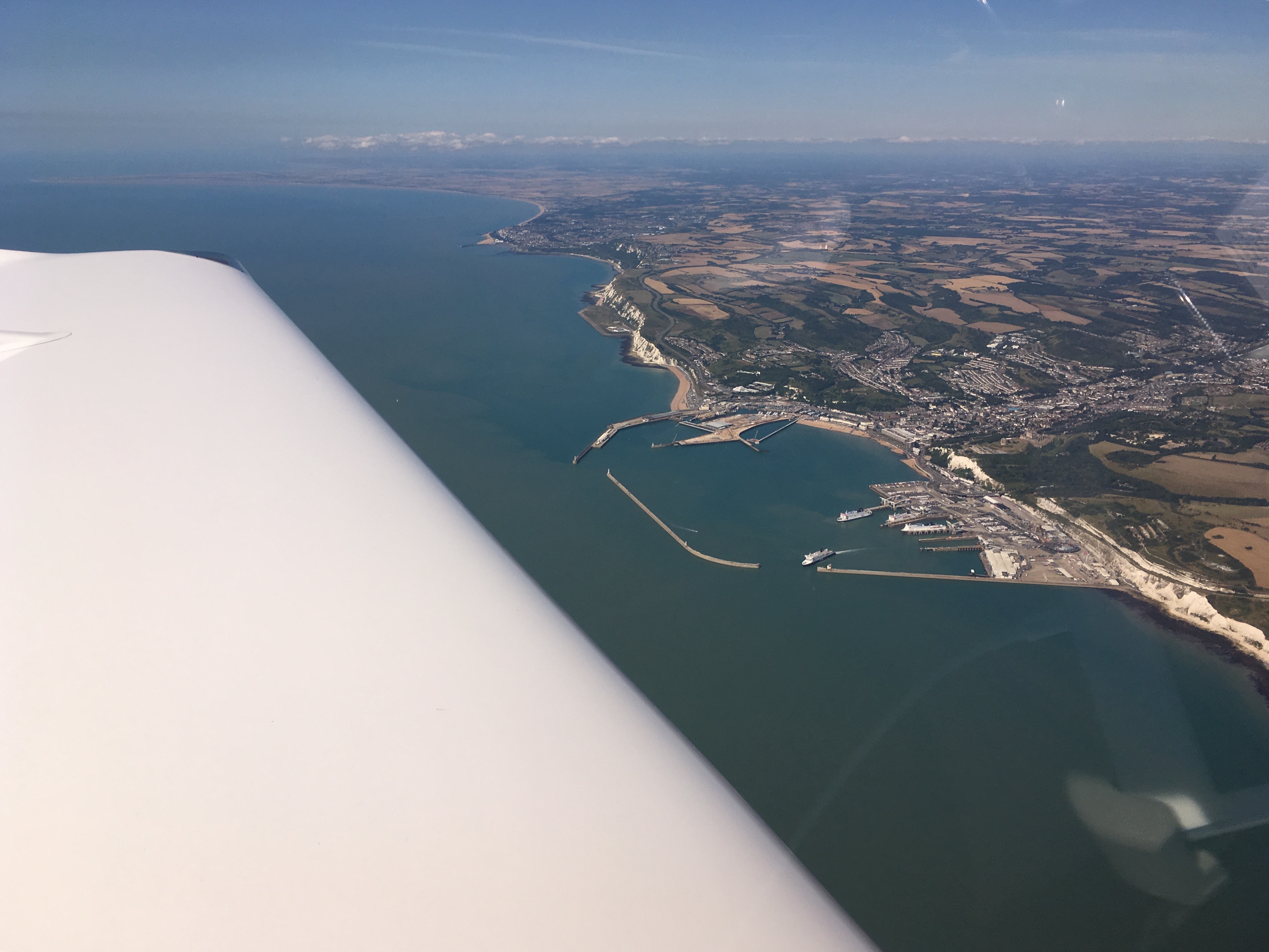
Last chance! Dover harbour. After this be dragons.

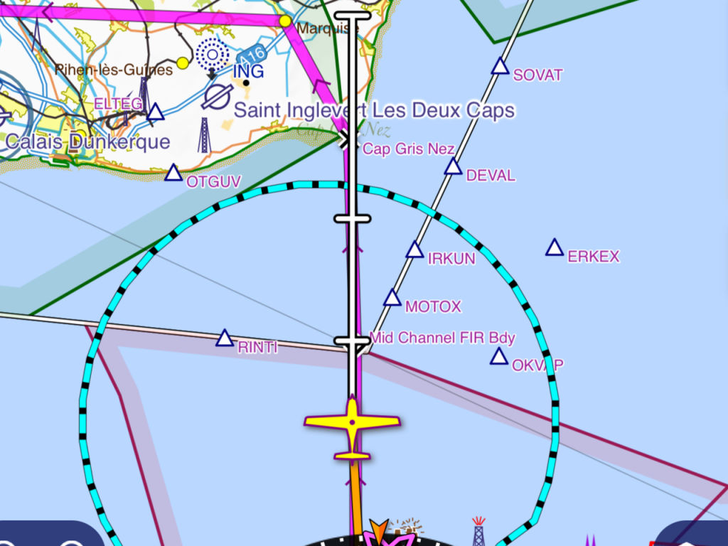
Double extra super last chance! The map shows us approaching the boundary with France. The Piper Arrow from Rochester had already overtaken us and been passed over to Lille Information, and we had the Lille frequency in the standby window, ready to go.

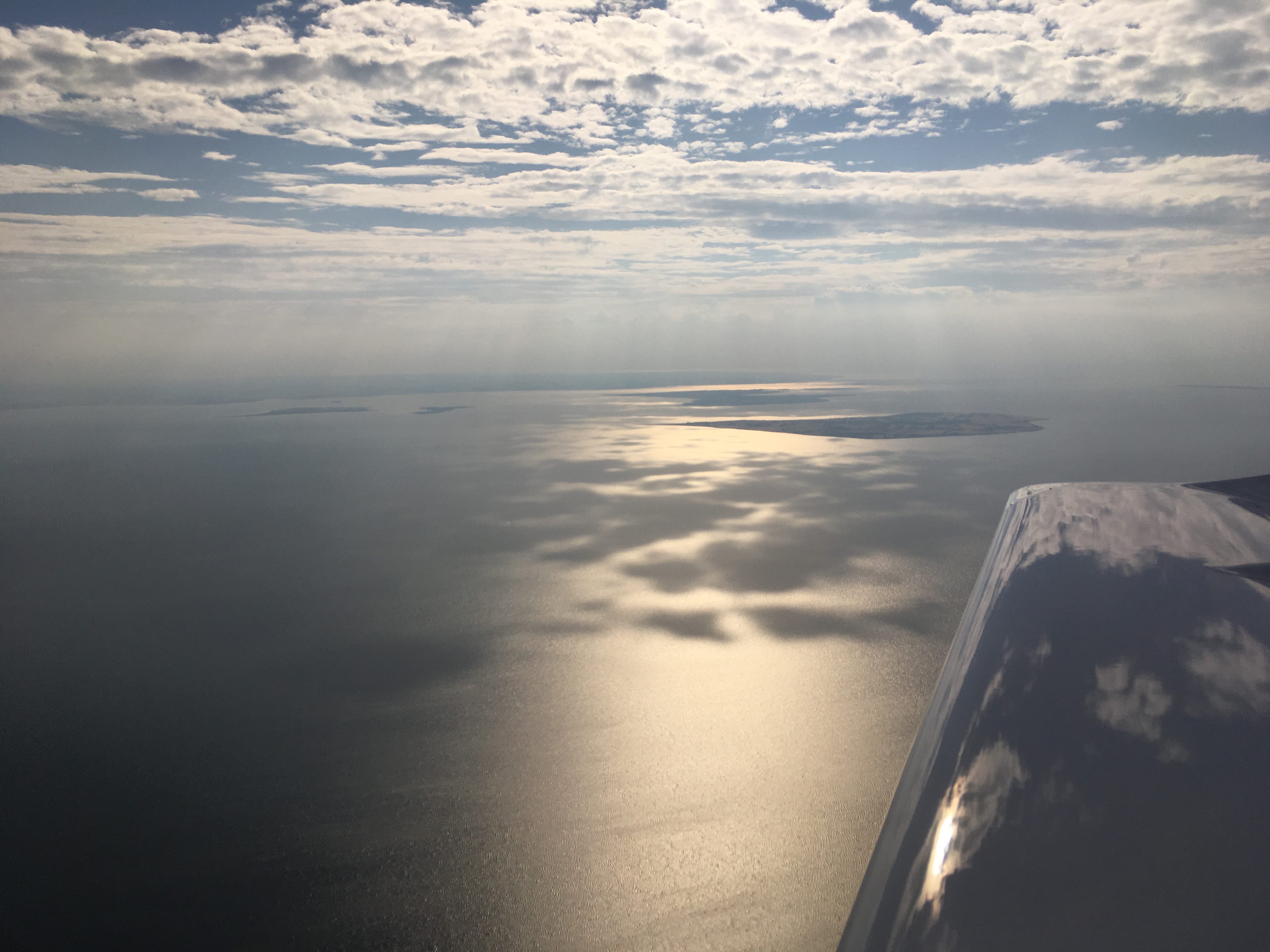
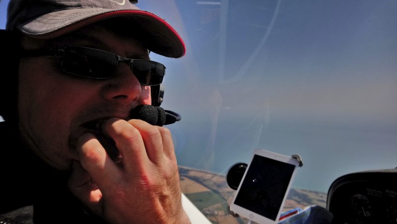
Before I was able to report at mid-channel, London handed us over to Lille. A press of the button and we were talking to France. Despite all the shipping using the channel, there were only a few to be seen:

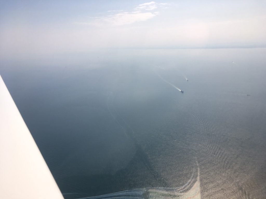
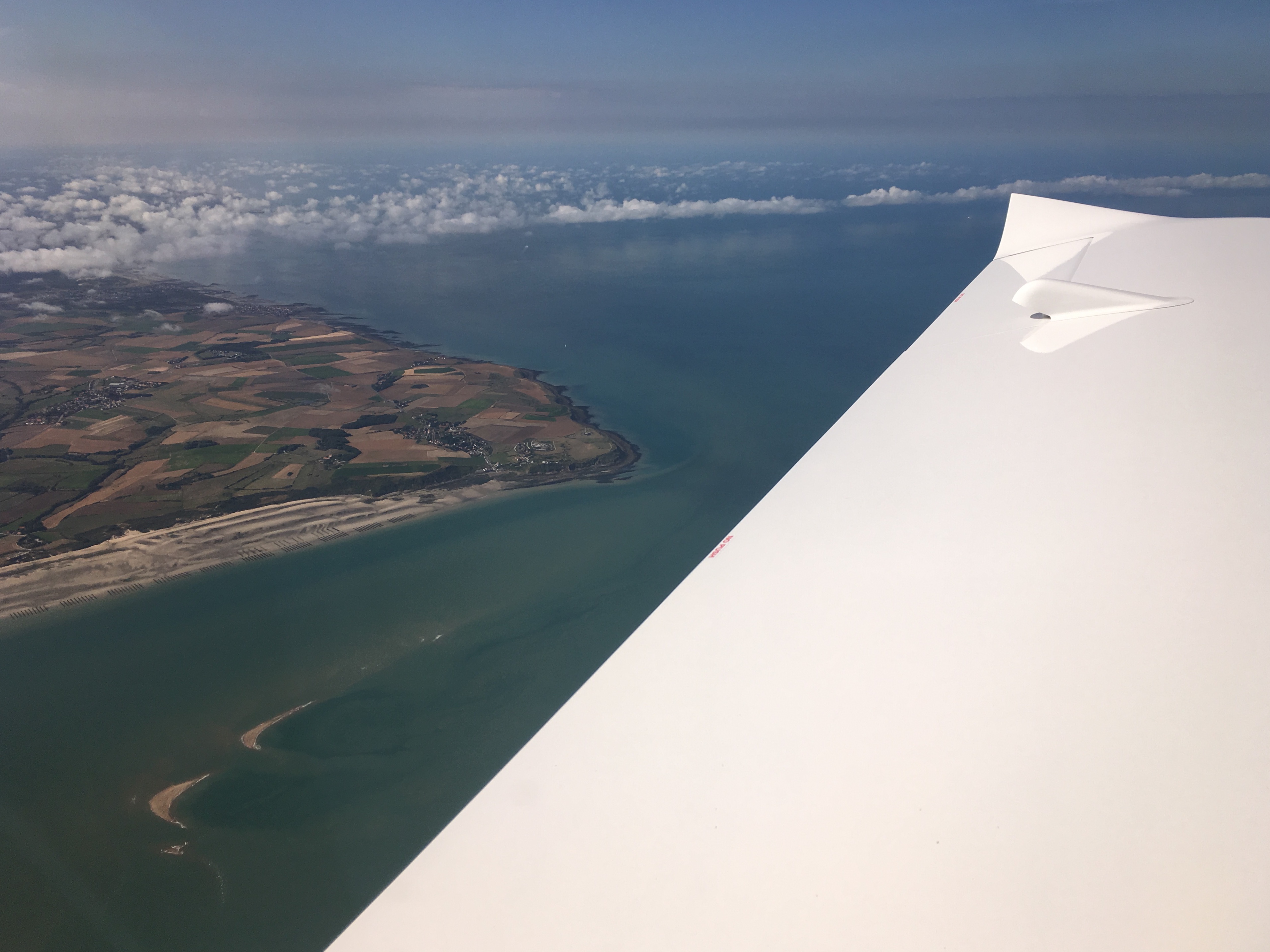
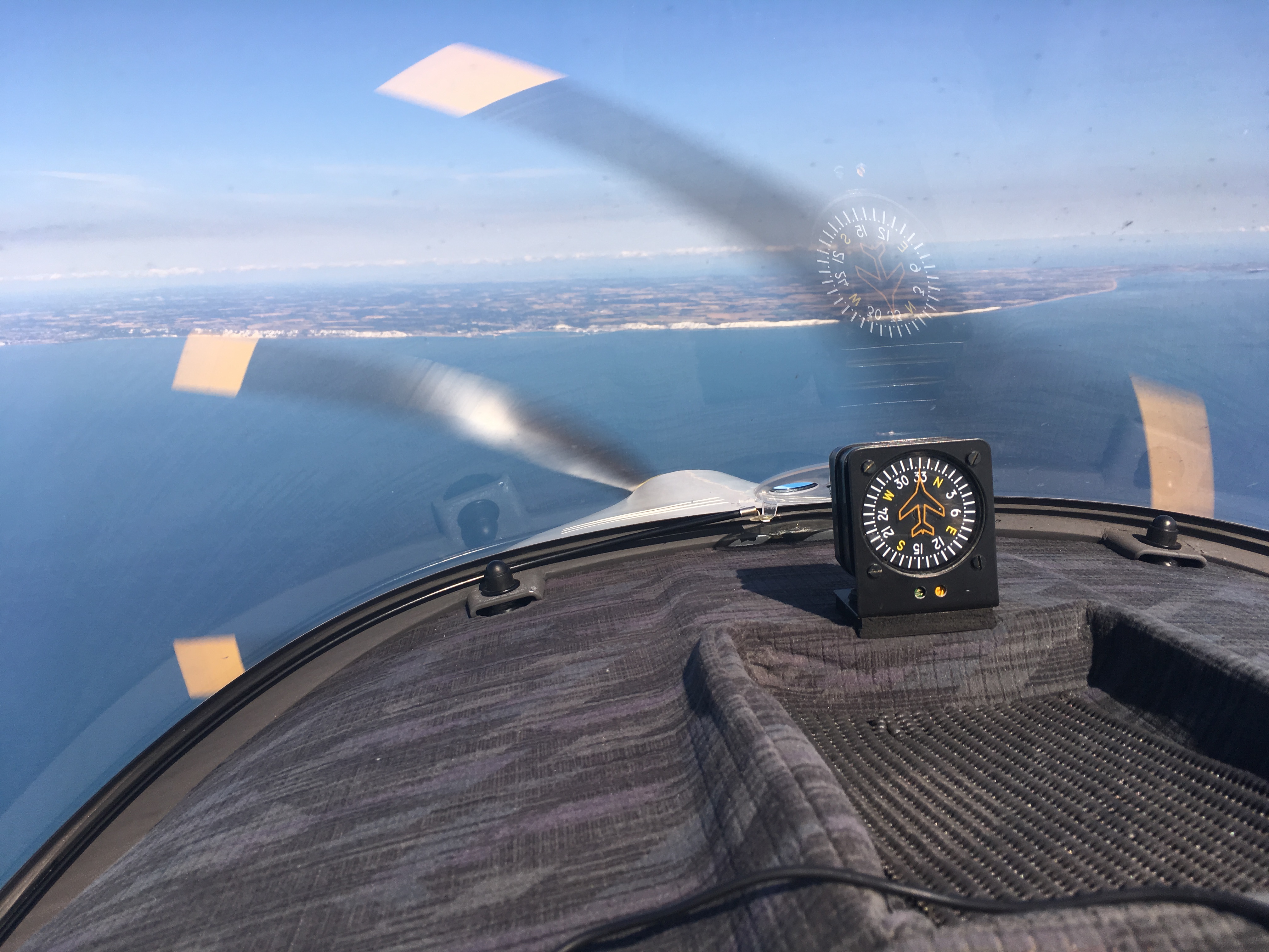
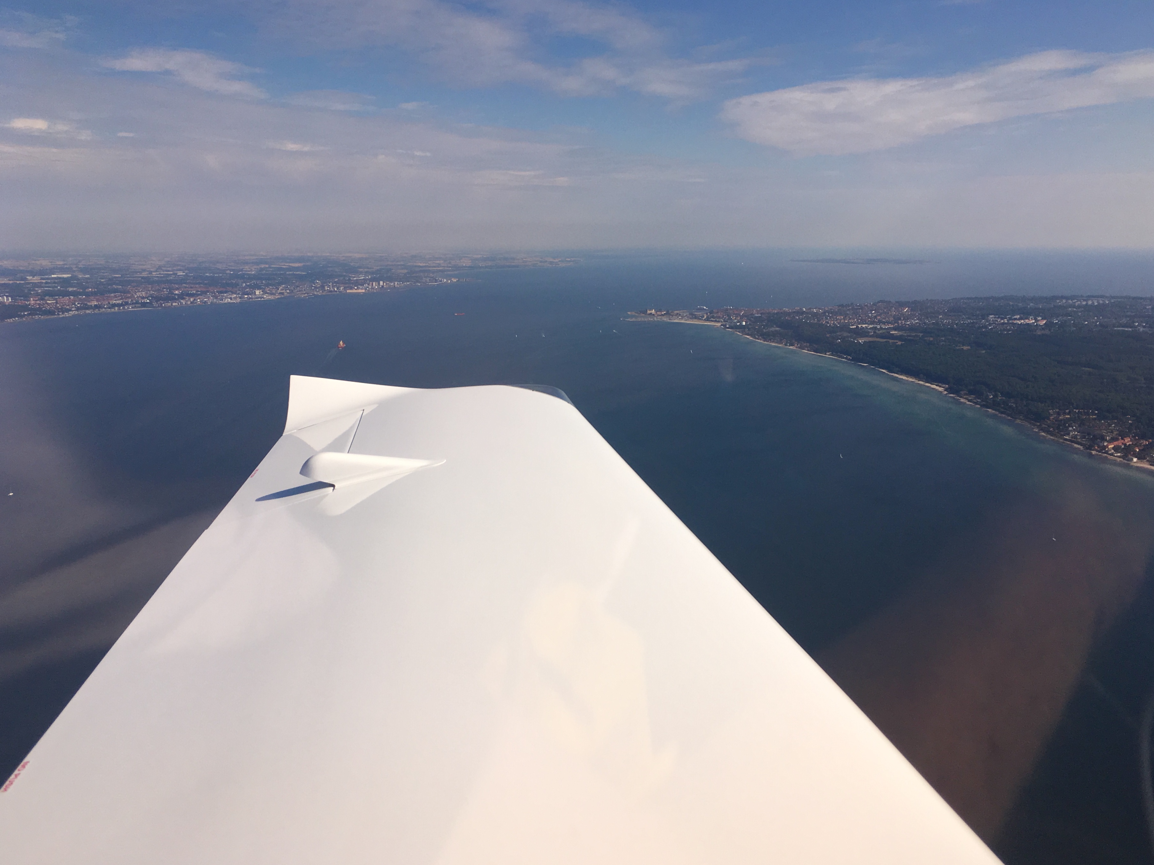
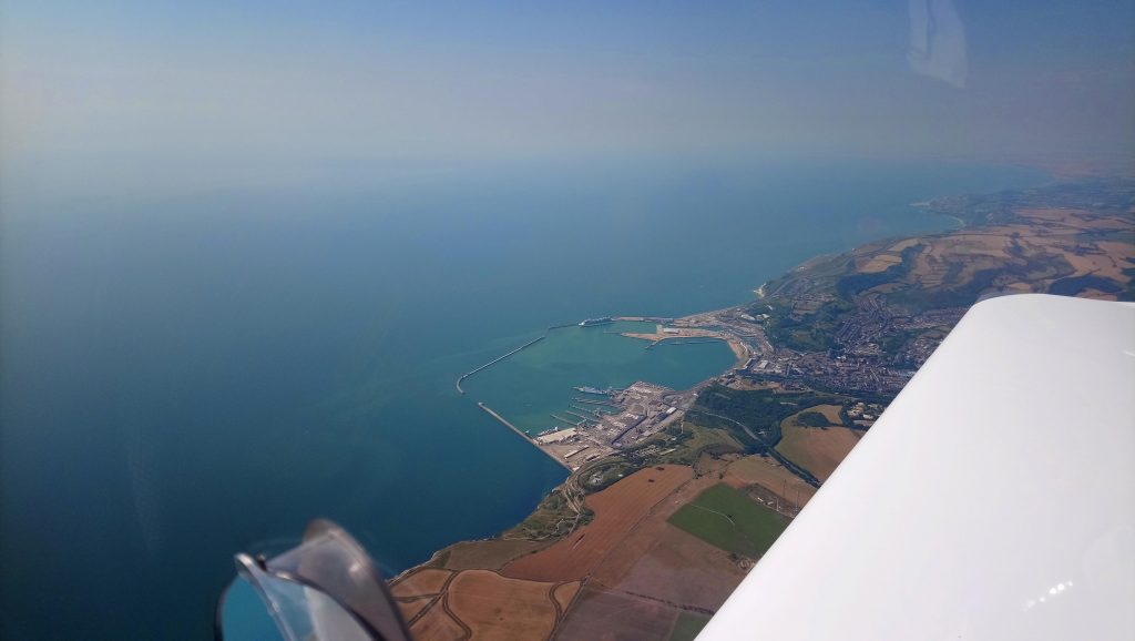
Approaching the French coast, looking northeast. Off in the distance is Calais…

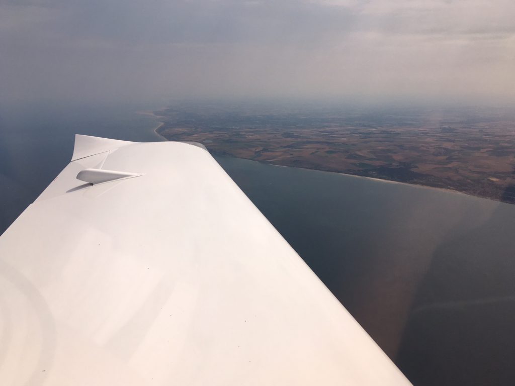
“Feet Dry” as the navy say. “Coasting in” as most other aviators say. Normal people say back over dry land. The plan was to turn at Cap Gris Nez to parallel the coast a little inland and route towards Koksijde in Belgium:

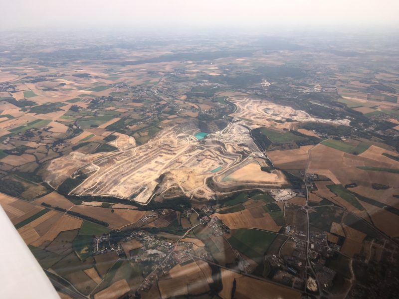
Big quarry just after Cap Gris Nez. That lake was bluer than it looks in the photo too…

The reason for paralleling the coast rather than following it is because of a delightful little spot called Gravelines. It’s near Dunkirk and in (French) aeronautical terms it has a ZIT.

A ZIT is (I think) Zone Interdit de Transit. Not sure. I made the last bit up. Basically it’s an area of prohibited airspace around a nuclear power station or other secret squirrel installation. If you fly into the Gravelines ZIT you can be hit with a fine of up to €10,000 and/or confiscation of your aircraft. After you land, obviously. Even so, that would be bad for the holiday plans, so it’s best to keep away.

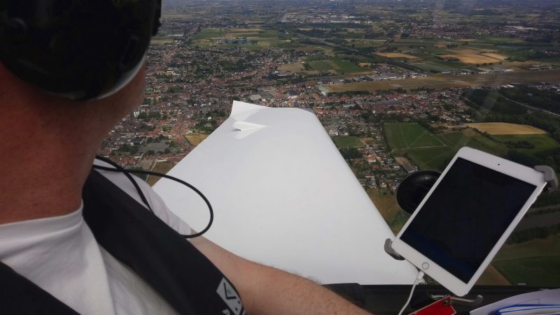
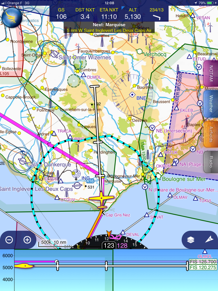
So here we are just after the turn to parallel the coast, looking north out of France, routing to stay out of the ZIT and heading  towards the Belgian border:

At the border we changed frequency to Ostend Approach and the controller gave us a routing direct to our destination Kortrijk. Following the inbound route as laid out in the Belgian documents downloaded to Skydemon kept us clear of the para-dropping at nearby Moorsele, and soon we were dropping into left downwind for runway 24…

First landing on foreign soil! Channel virgins no longer! All those worries were unfounded. It’s a lot easier than you think it will be.

We taxied up to the self service pumps and got out. Belgium!

As I refuelled the customs/police guy wandered out and checked out our passports. All was in order and just like that, we were in the Schengen zone. Free movement between countries makes aerial adventures a lot easier. We pushed the aircraft away from the pumps and went to the terminal for a rehydratory drink and to plan the next leg…

Kortrijk is a sleepy little airfield. So sleepy that there is nobody to collect the landing fee…there’s a form to fill out and post in a box. Eventually they get around to sending a bill.

The next airfield would be much bigger…


Leg Four: Kortrijk to Groningen (Netherlands)- overnight stop

Ever since we started thinking about this trip we have planned to use the airfield at Wilhelmshaven in Germany as a nightstop. Once more the plan fell apart. There must have been something going on because there were no hotel rooms available anywhere. We had tried Emden but they were full as well. Brenda switched tactics and switched websites. The excellent http://www.hotels.nl found lots of space in Groningen, so we decided to shorten the second leg and play catch up the next day. We would book somewhere once we landed but Groningen looked a safe bet.

Skydemon made flight planning easy as always. Once again we needed to file a flight plan as we were crossing the border into the Netherlands.

A short aside to those of a non-aeronautical persuasion. There is a massive difference between planning the flight and filing a flight plan. Planning the flight involves distances, routes, altitudes, fuel burns, avoiding ZITs, leg times and that sort of thing. Filing a flight plan involves telling air traffic control what your route will be and your start time and endurance. It’s primarily for search and rescue purposes. If you don’t turn up they’ll at least have an idea of where to look. It’s written in a specific type of code and can be done manually, but as usual Skydemon does it all for you. Awesome piece of software (…other systems are available…)

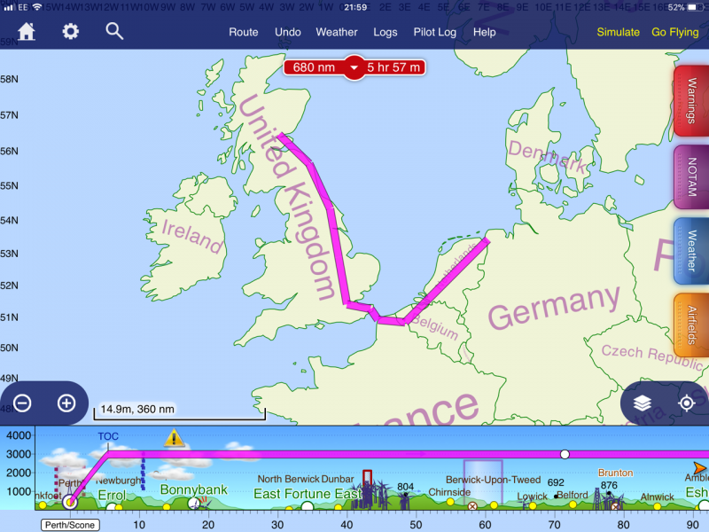
This is an example of a flight plan we filed:

FPL-GCESM-VG
-TL20/L-VY/S
-EBKT0800
-N0095VFR DCT W2 DCT W1 DCT 5059N00251E DCT KOK DCT 5102N00223E DCT
SUDOD DCT 5057N00210E DCT 5052N00135E DCT 5100N00129E DCT DVR DCT DET
DCT
-EGTO0128
-EET/LFFF0024 EGTT0058 RMK/SUPP INFO RQS KBLIHAEX DOF/180801

It doesn’t really tell you much, but it has to be done and the software makes it easy.

Unless you’re me, of course. I kept messing up the submission for our flight plan from Kortrijk to Groningen. I kept getting the time wrong. Flight plans (and in fact most aerial timekeeping) use Greenwich Mean Time or as it’s called nowadays, Universal Coordinated Time. The abbreviation UTC comes from the French. I ended up filing three flight plans, cancelling two of them and sending a “delay message” for the remaining one before I got it right. Hey, the whole trip was supposed to be a learning experience, right?

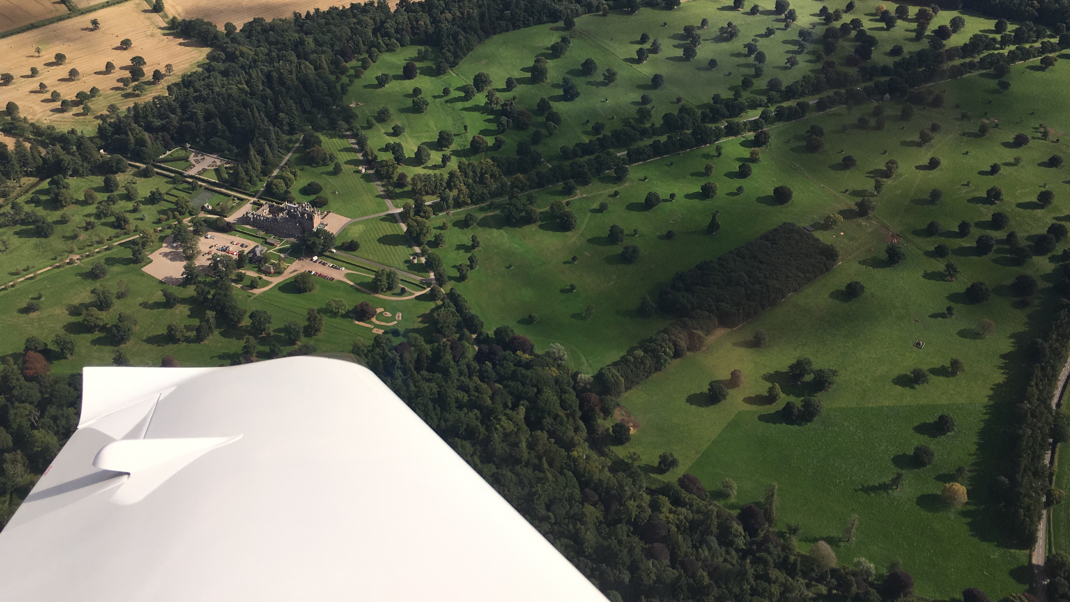
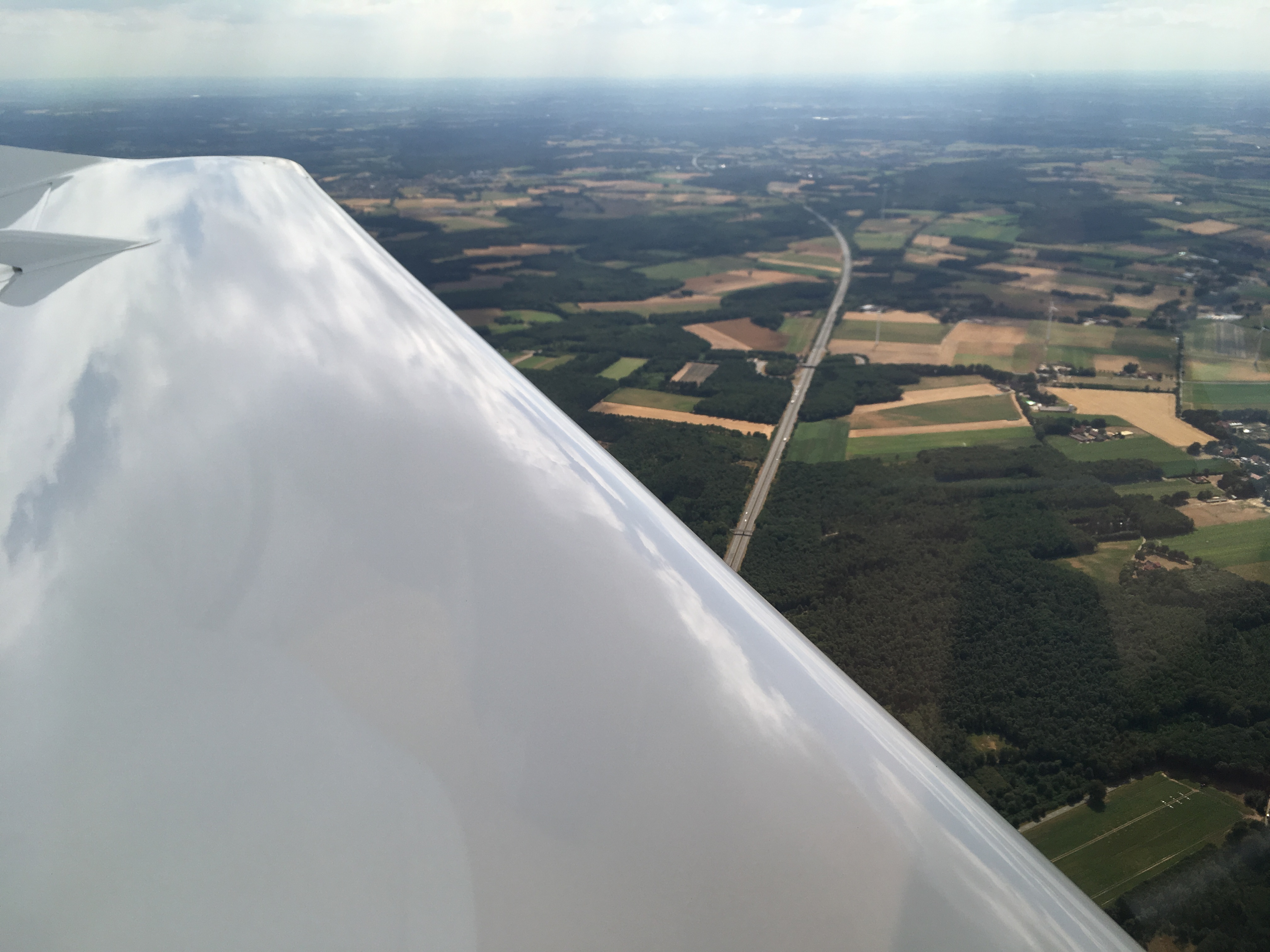
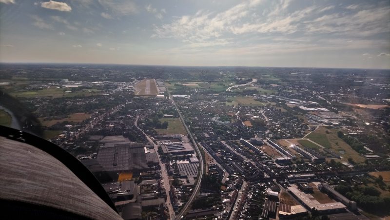
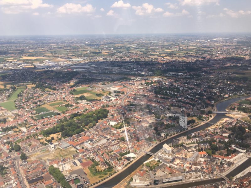
Kortrijk airfield is on the edge of town and the climb out from runway 24 passes over quite a built up area:

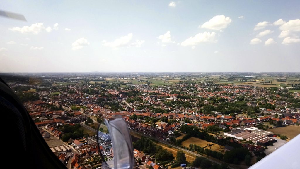
Then a left turn past Kortrijk town centre, heading northeast towards Ghent. Next time we came here we would be staying the night:

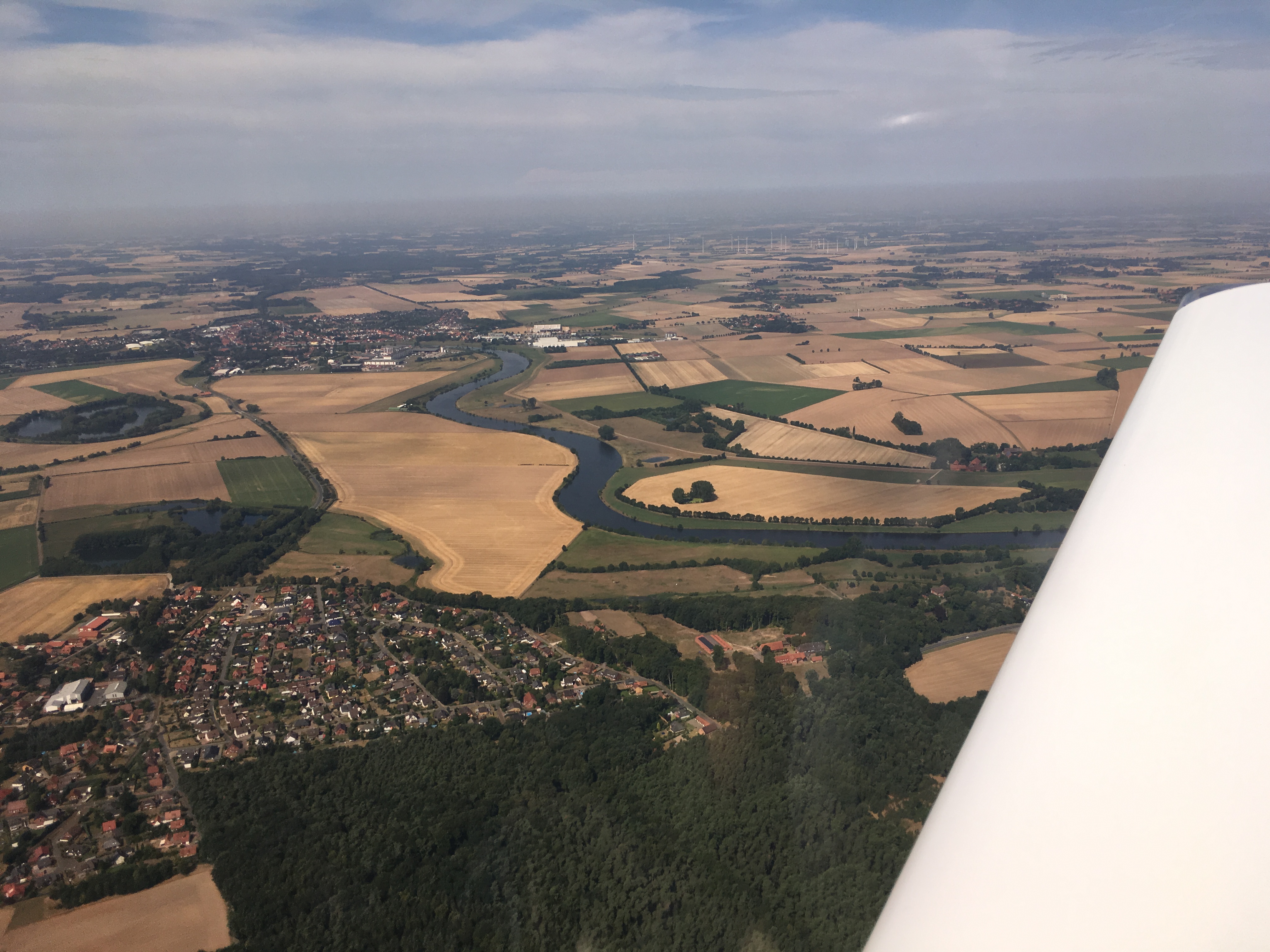
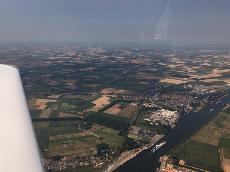
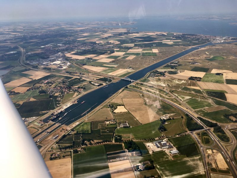
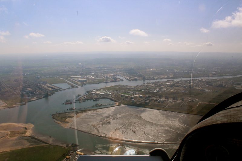
After Ghent we followed the appropriately named Ghent-Terneuzen canal to Terneuzen:

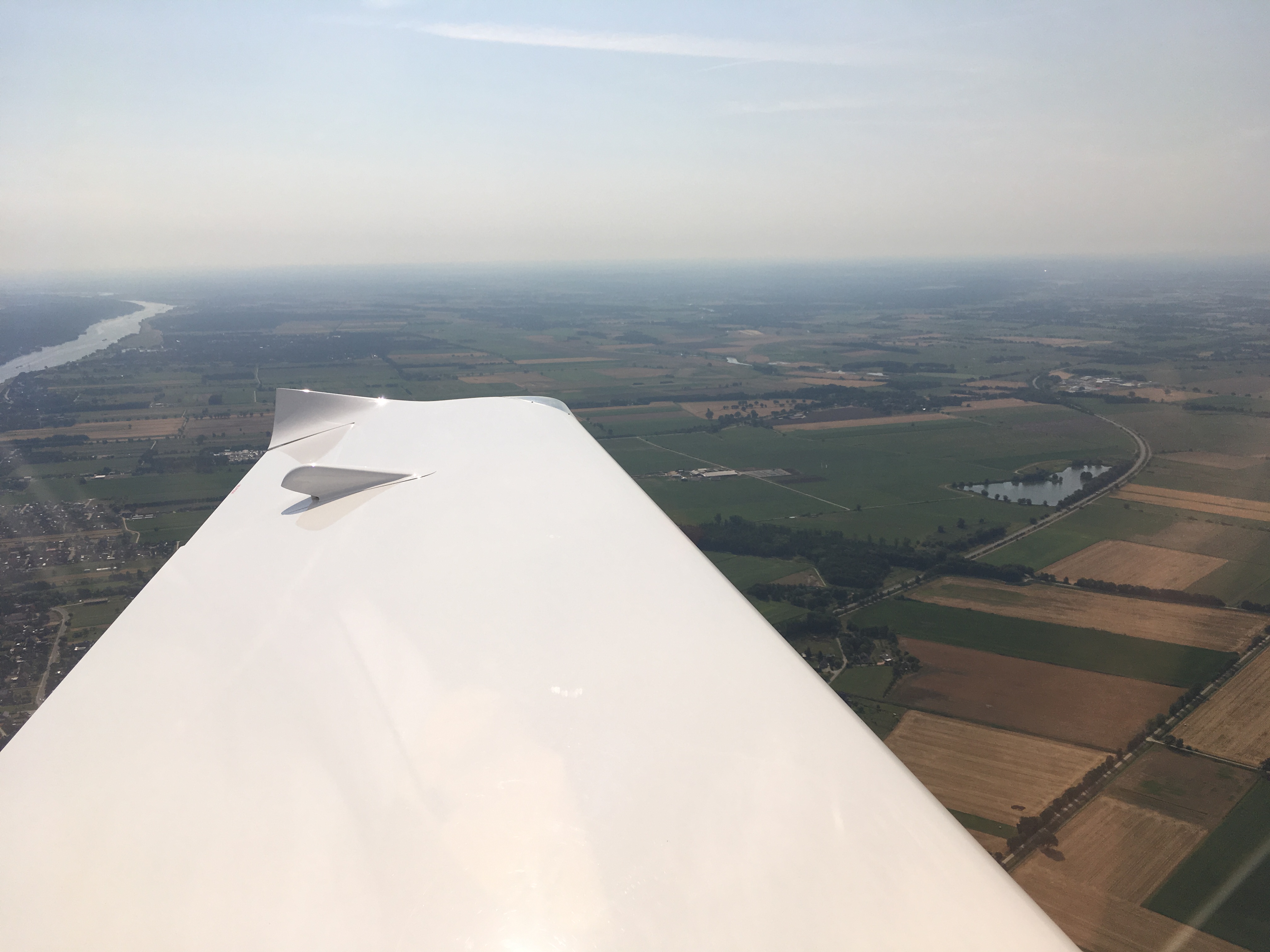
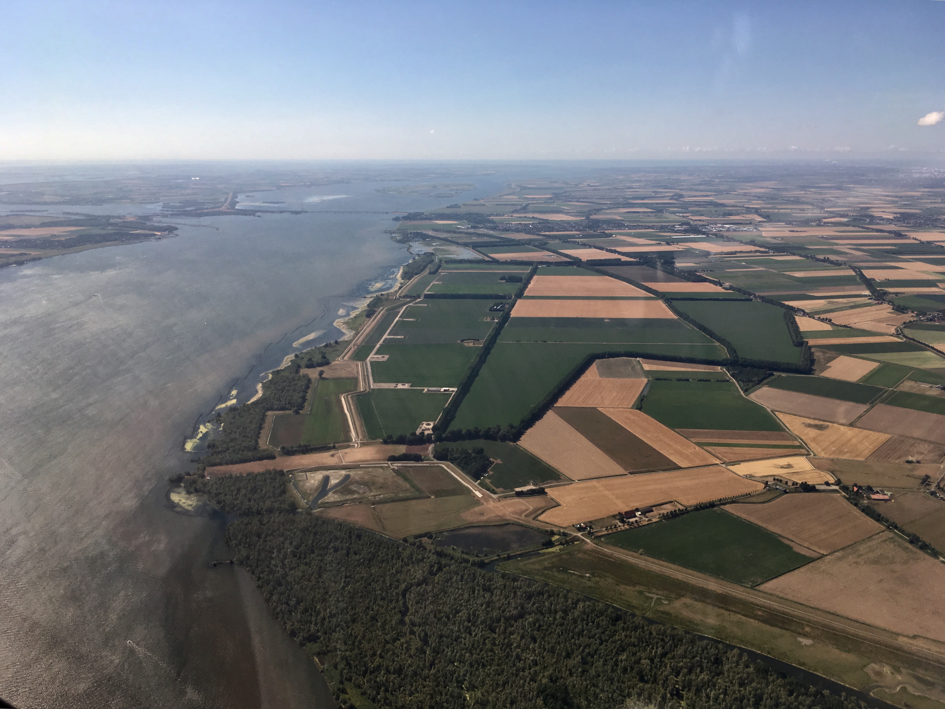
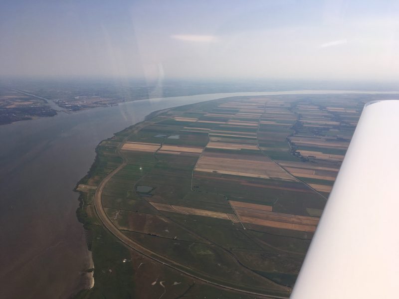
The controller at Brussels Info confirmed that our flight plan had been activated, and soon we were at the boundary, and signing off. Once over the border, talking now to the very efficient folks at “Dutch Mil Info” on the radio, the route took us over the flat lands of Zeeland, with brightly coloured tulip fields:

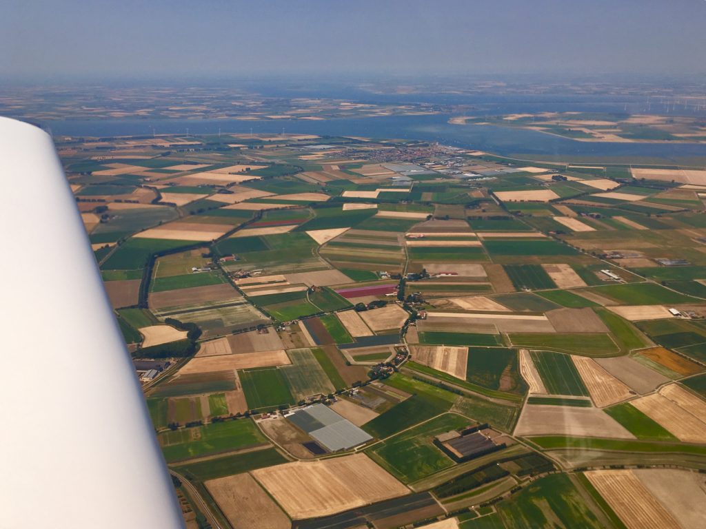
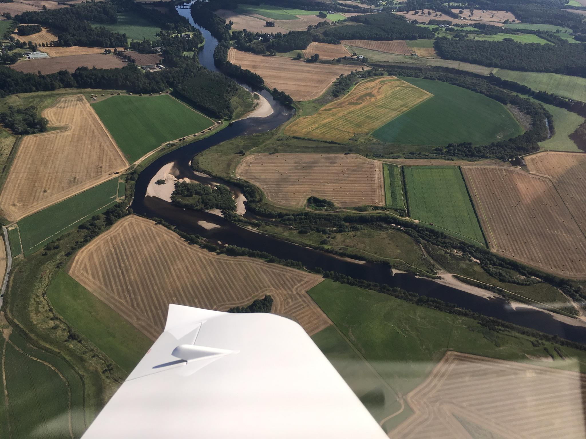
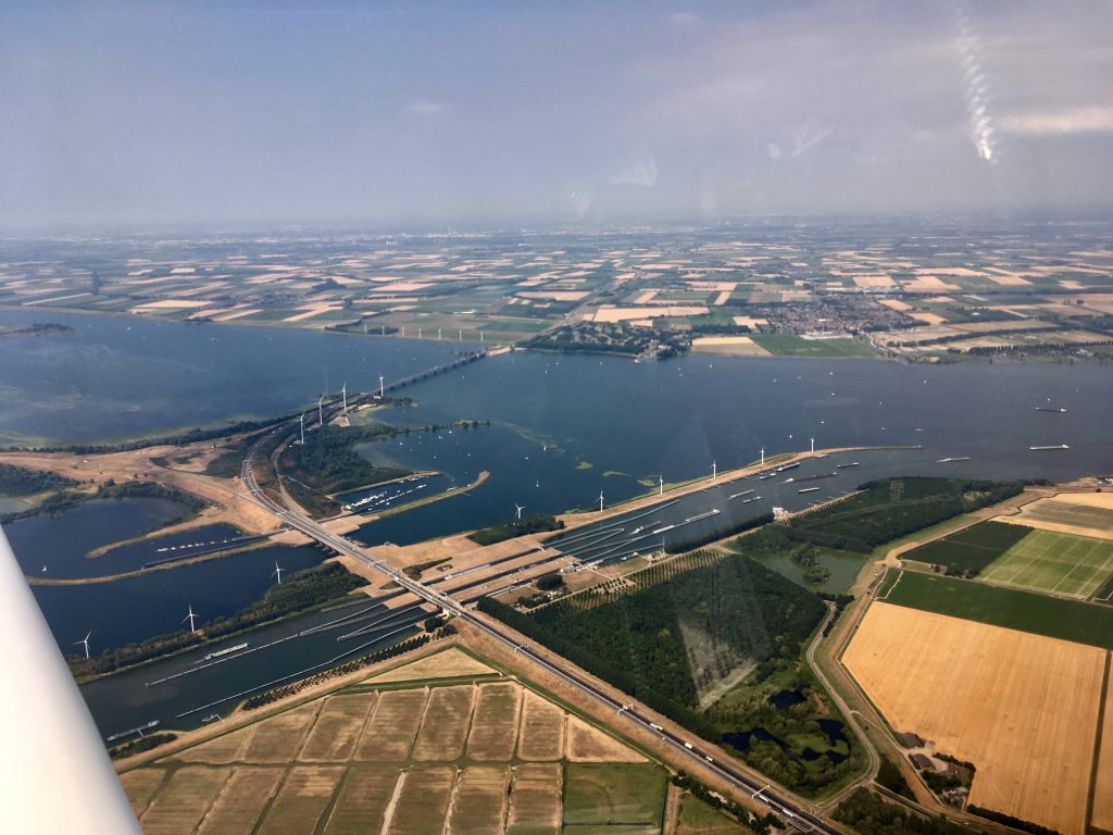
By now we were at 3000ft, passing some massive engineering projects…wide canals, lock systems, bridges and tunnels:

The Netherlands is famous for windmills but we only saw a handful of the traditional ones. Much more prevalent are the modern style generator ones. With lots of water around there were hundreds of boats, barges and ships dotted around:

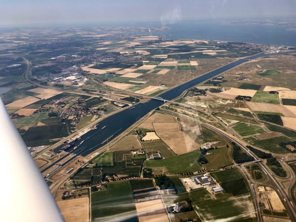
Barges queueing up at the locks at Voorhaven near Willemstad:

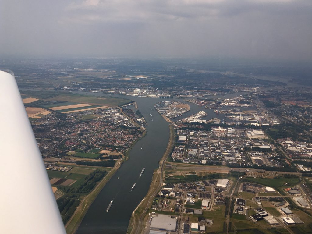
More barges making their way past Dordrecht…

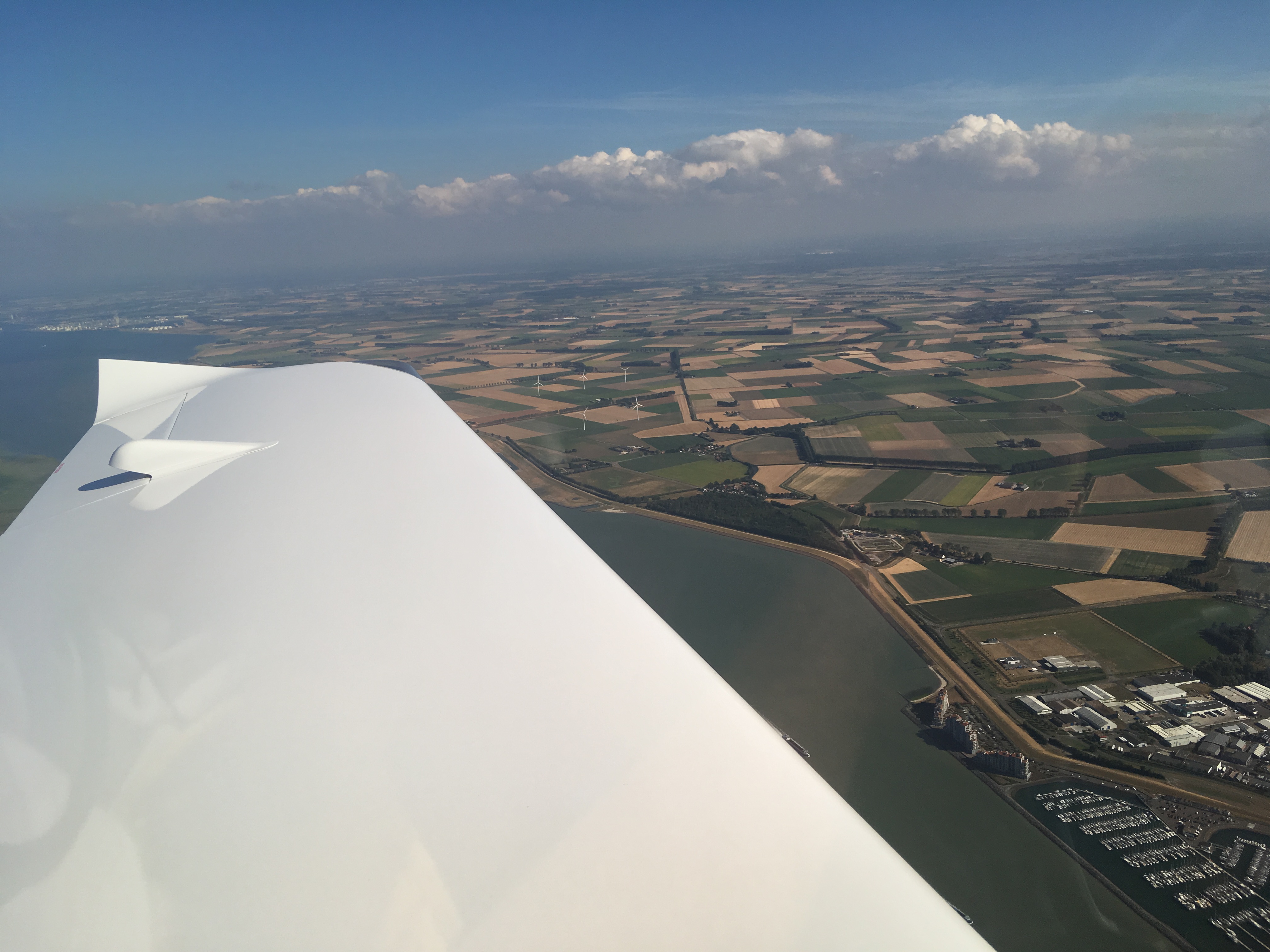
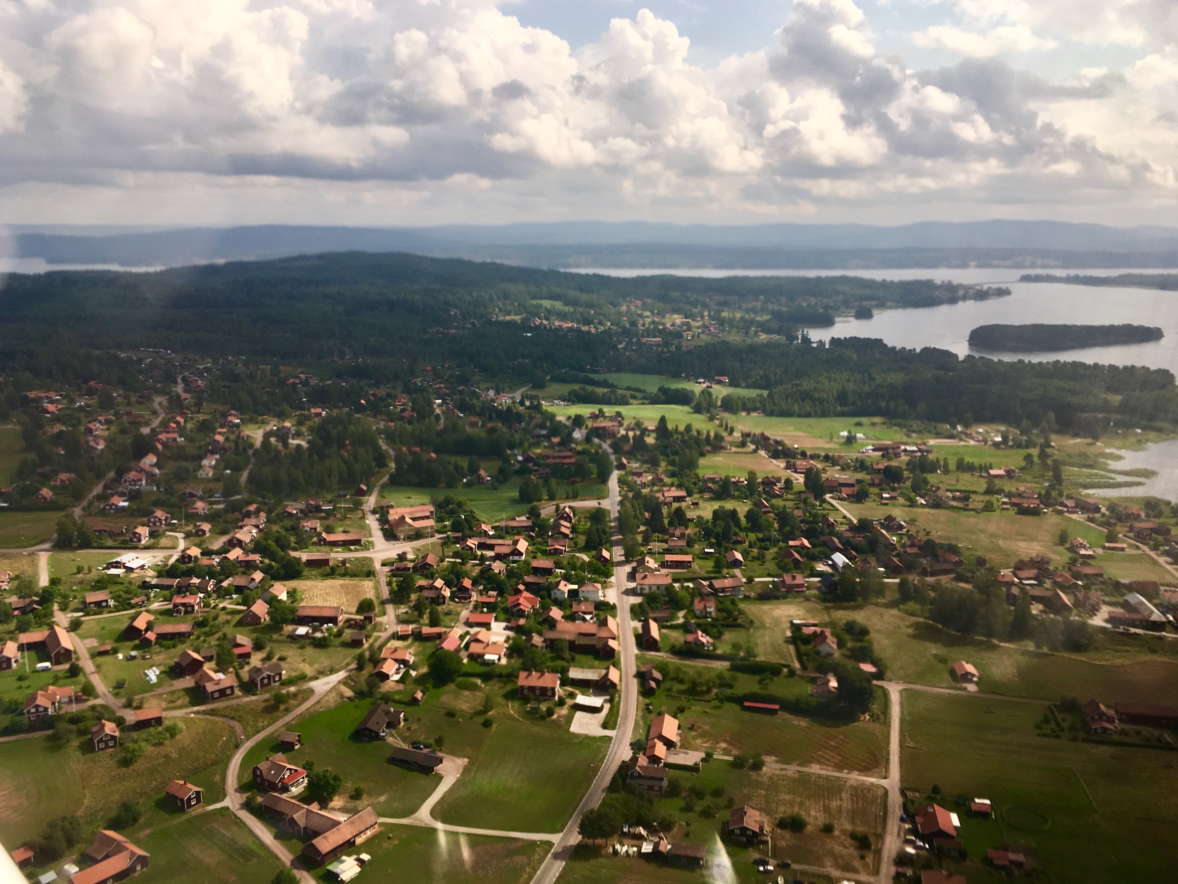
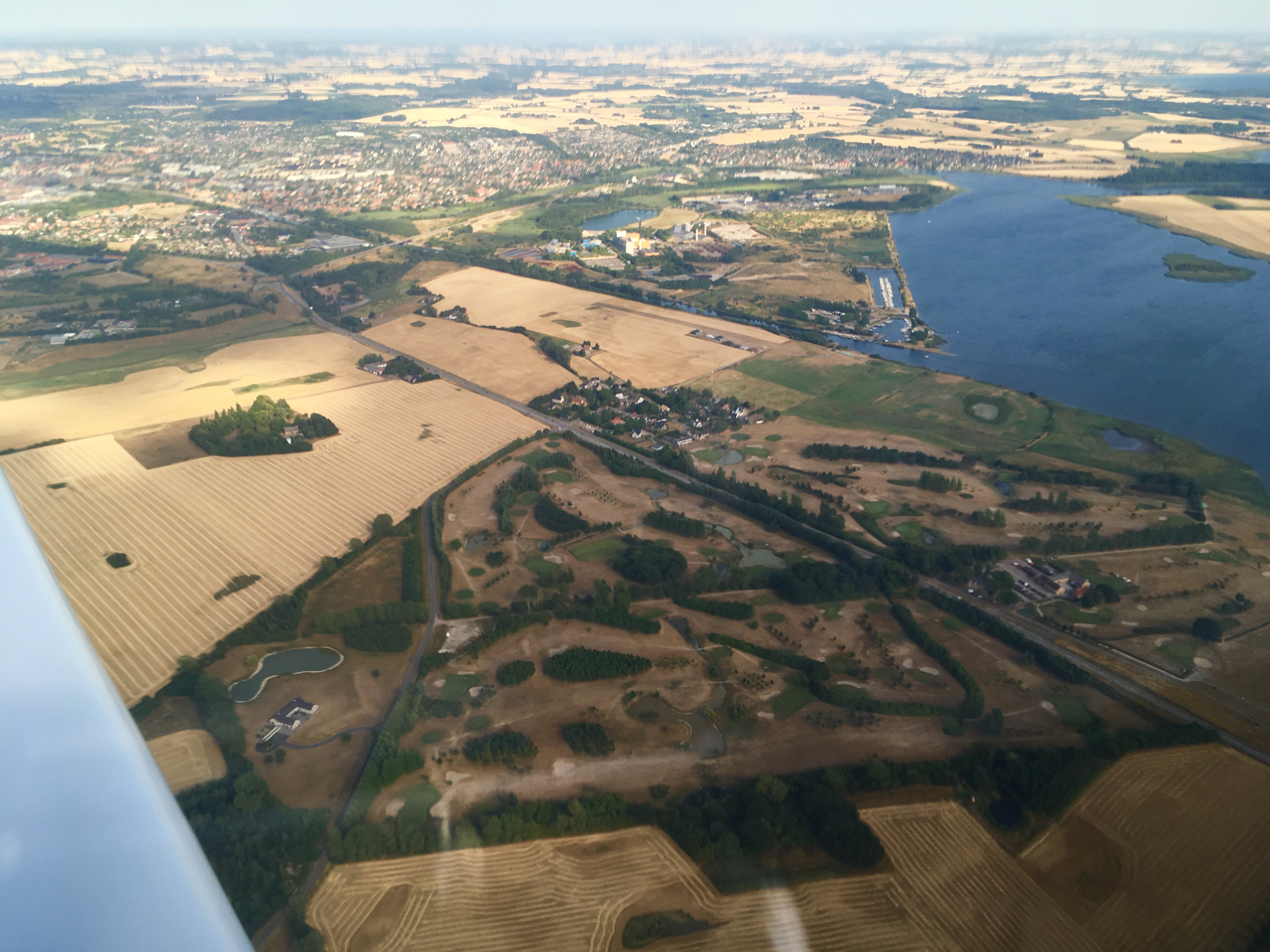
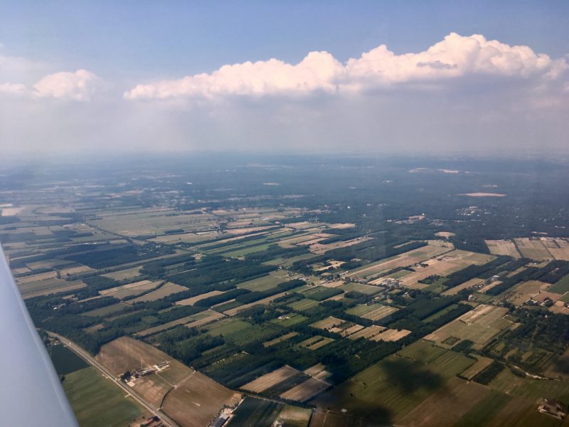
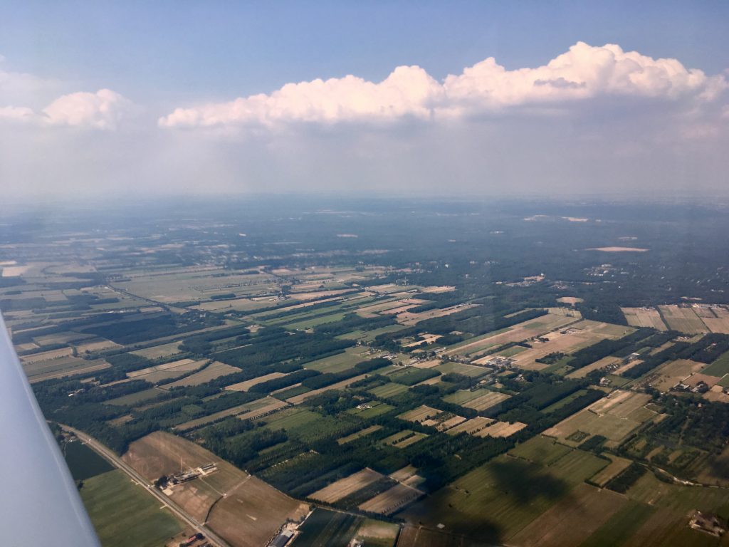
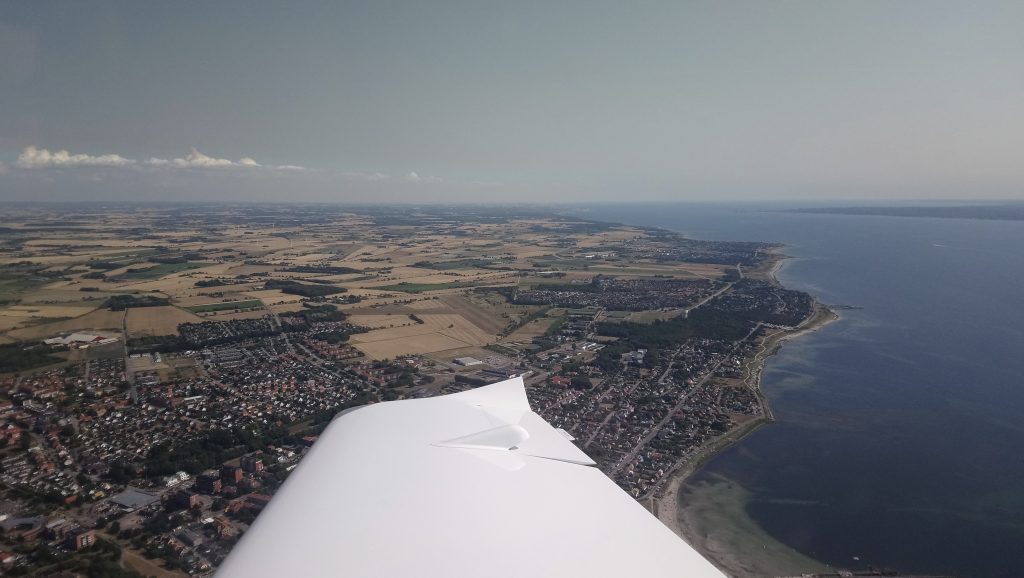
Further north the landscape started to change from the billiard-table flat of the south to slightly higher ground with more trees:

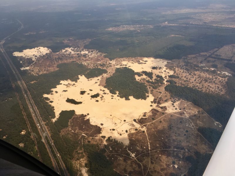
You can go to the beach without going to the sea! Hulshorsterzand park on the edge of the heathland in the centre of the country:

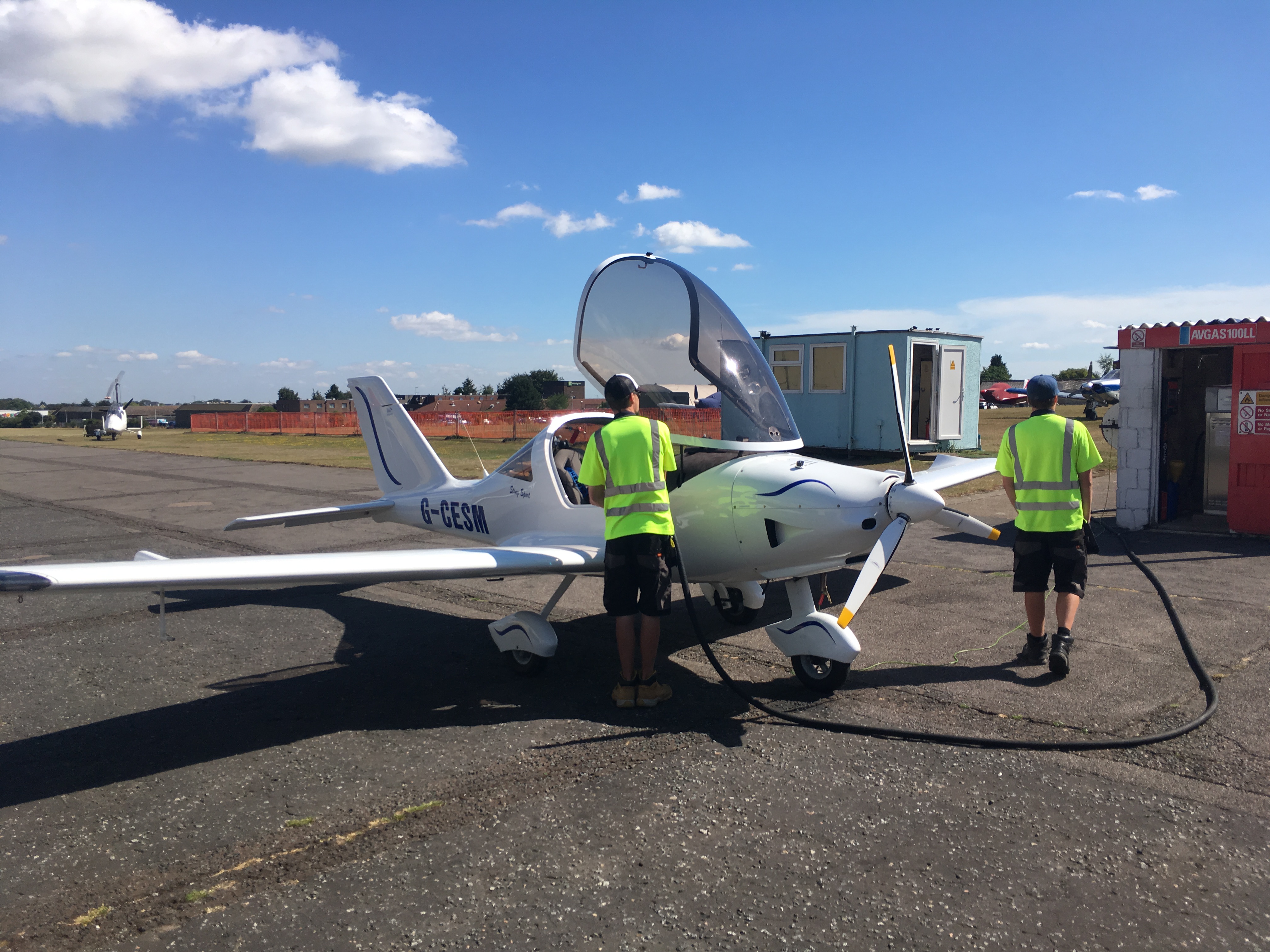
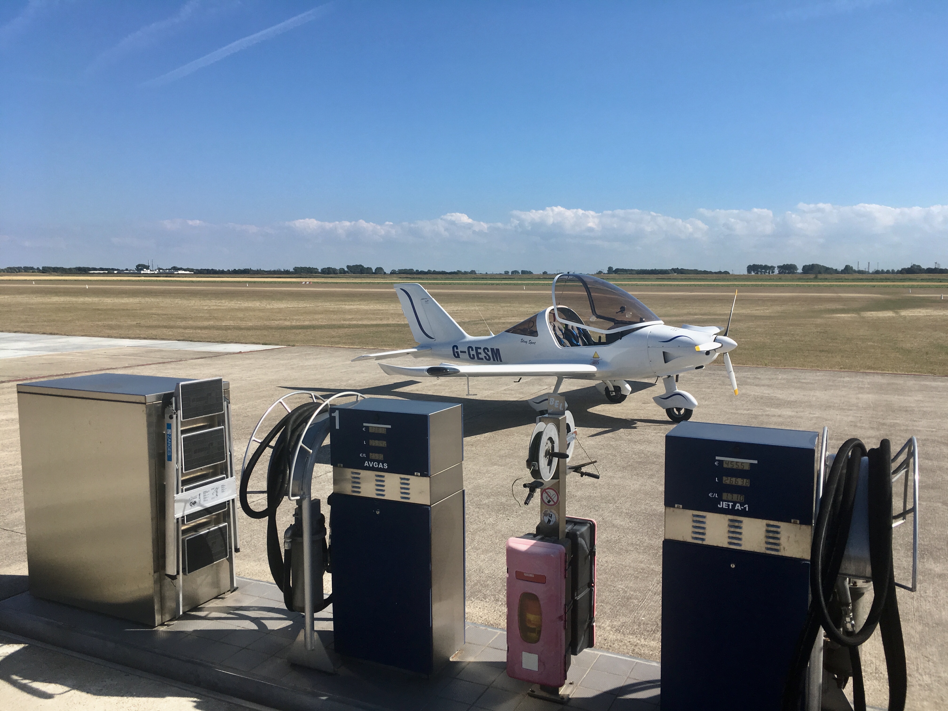
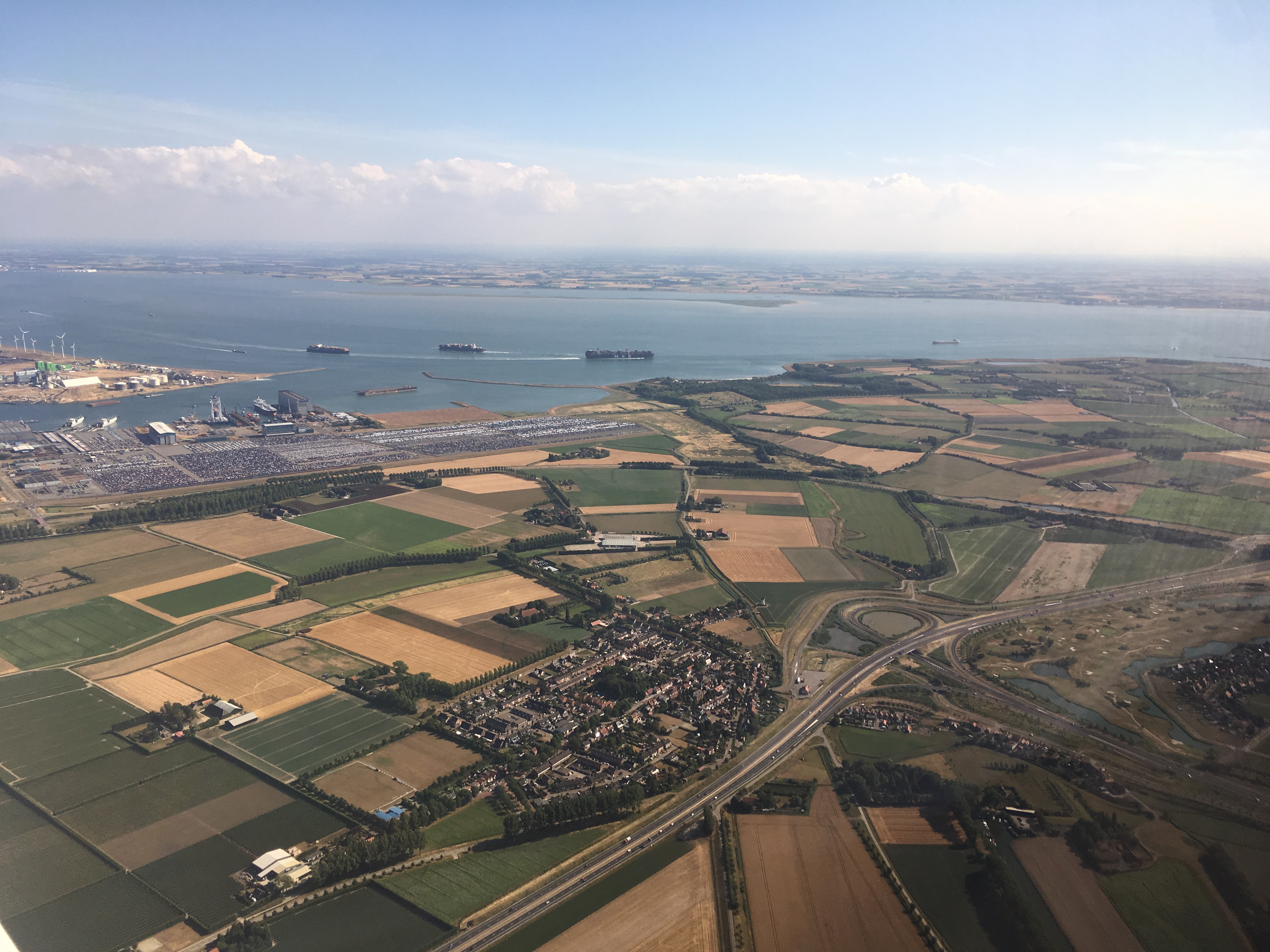
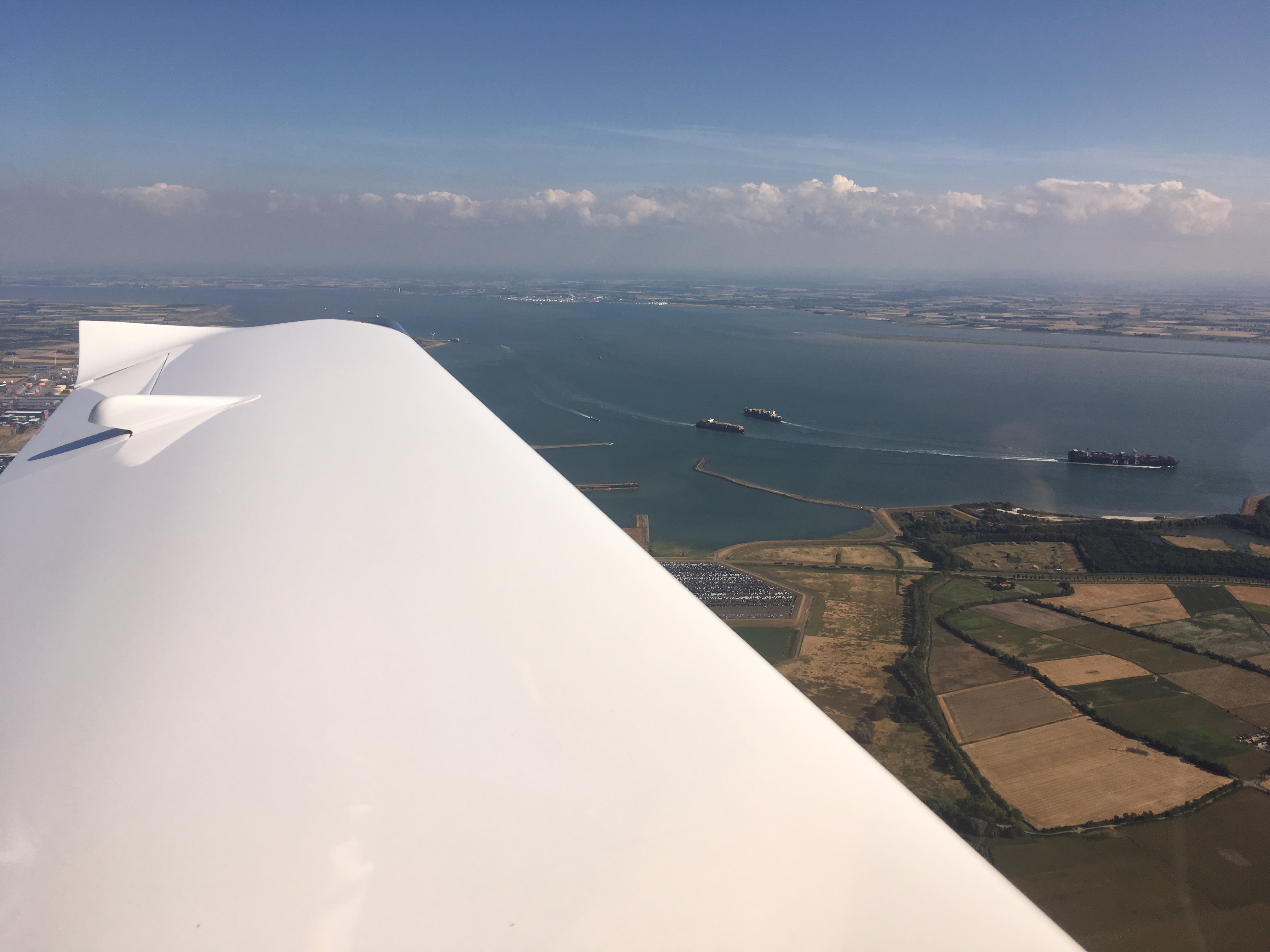
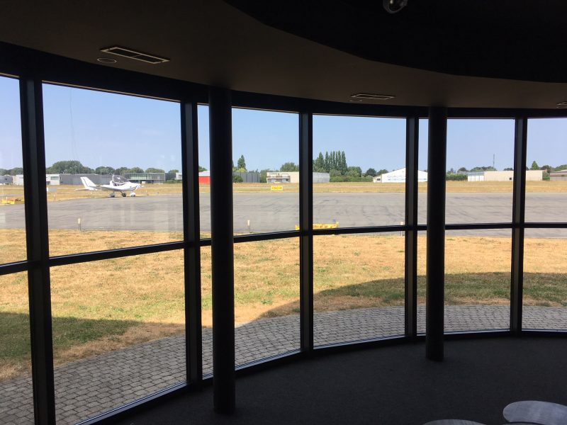
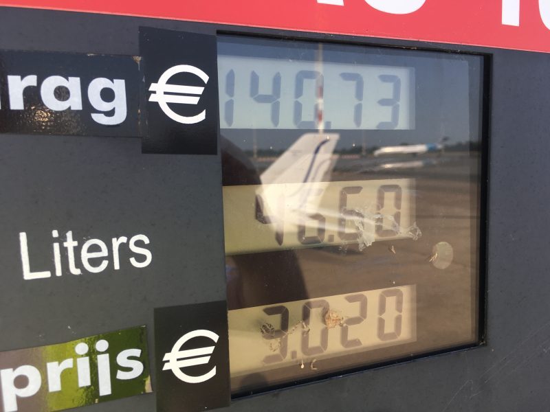
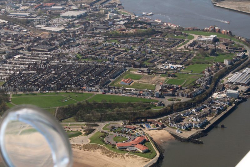
Finally we found ourselves approaching Groningen/Eelde airport in the northeast. A large regional airport equivalent to maybe Inverness or Exeter in size, although it was very quiet in terms of traffic. We landed and taxied to the pumps for a refuel. At €3.02 per litre this was the most expensive fuel of the whole trip…

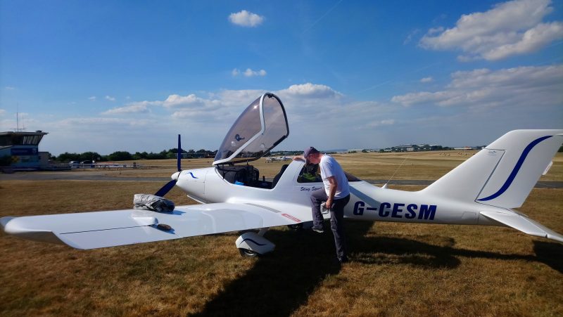
Then a quick taxi to the GA (general aviation) ramp where we got the bags out. I did a quick post flight check while Brenda got online and searched for accommodation, then we put the covers on again for the night:

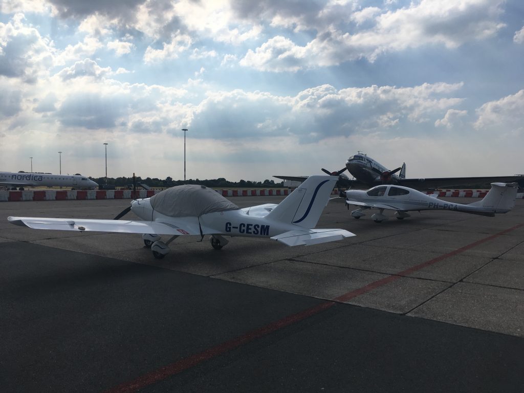
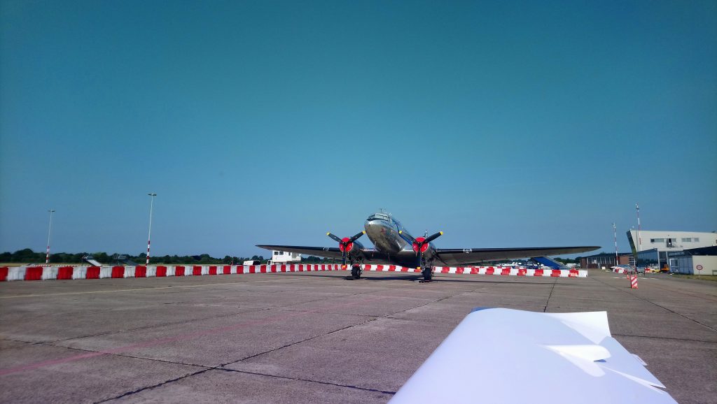
Parked up in some distinguished company. The DC3, not the DA40 next to us…

While I was sorting the aircraft, Brenda had got onto hotels.nl and booked us in to the Best Western Plaza, which was the closest to the airport. Another pilot had since landed and the ground operations guy asked if we would mind sharing a taxi to save costs. €25 later and we were at the hotel. It is located next to the Hornsemeer lake on the southern edge of town, quite far away from the centre but with a few pubs and restaurants within walking distance.

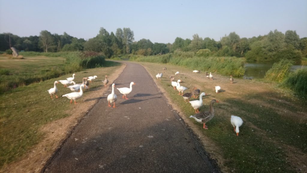
After another cooling shower it was time for a walk around the meer to Il Lago pizza restaurant for dinner. But first there was the roadblock of geese to negotiate…

…after dinner, back for a big sleep.

Day two complete. Tomorrow… onwards to Sweden


Leg Five: Groningen to Sønderborg (Denmark)

Last night’s taxi sharing pilot had shown us a density altitude app which we had subsequently downloaded. With hardly any cloud it was already hot by the time we taxied out, and the app was calculating a DA of 1900ft. For an airfield elevation of 18ft that was a lot.

The landing and overnight parking cost just over €30, which was pretty good for a biggish airport.

As we departed Groningen towards the east we passed just underneath a massive stork. If that had come through the canopy it would have made a heck of a mess. On second thoughts we might not have noticed, the parcel shelf was turning into a bit of a mess anyway:

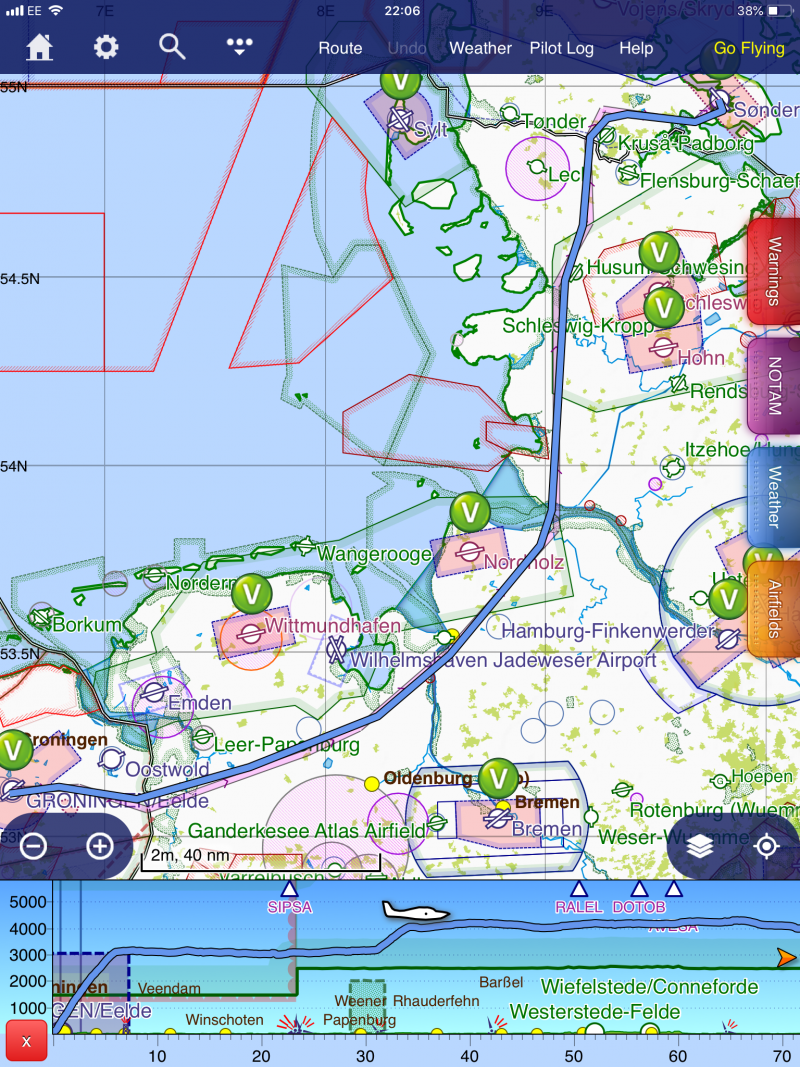
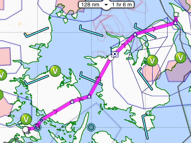
The route to Sønderborg in Denmark took us from Groningen east into Germany, then northeast and finally north to cross into Denmark before turning east to the destination:

Thinking the air would be cooler and less bumpy we climbed to 4000ft. Crossing into German airspace we tried to contact Bremen Information on the radio. We could hear them talking to other aircraft but didn’t get any reply. After trying several times it was almost as if they were ignoring us.

It was still hot and I began to suspect that the radio was overheating. Talking later to the Trig guys at the Perth fly in they said that it would have told us with a message on the screen, but we didn’t know that at the time.

I decided to try another frequency. We were passing Wilhelmshaven so I gave them a call. If we couldn’t visit at least we could talk to them…and the controller answered immediately. A massive relief to find that there was nothing wrong with the radio. After thanking our new best friend we went back to trying Bremen Info. They continued to ignore us.

Finally as we approached the mouth of the Elbe heading northwards (AWAY from Bremen) they answered and we had that warm fuzzy feeling of being in contact with somebody again.

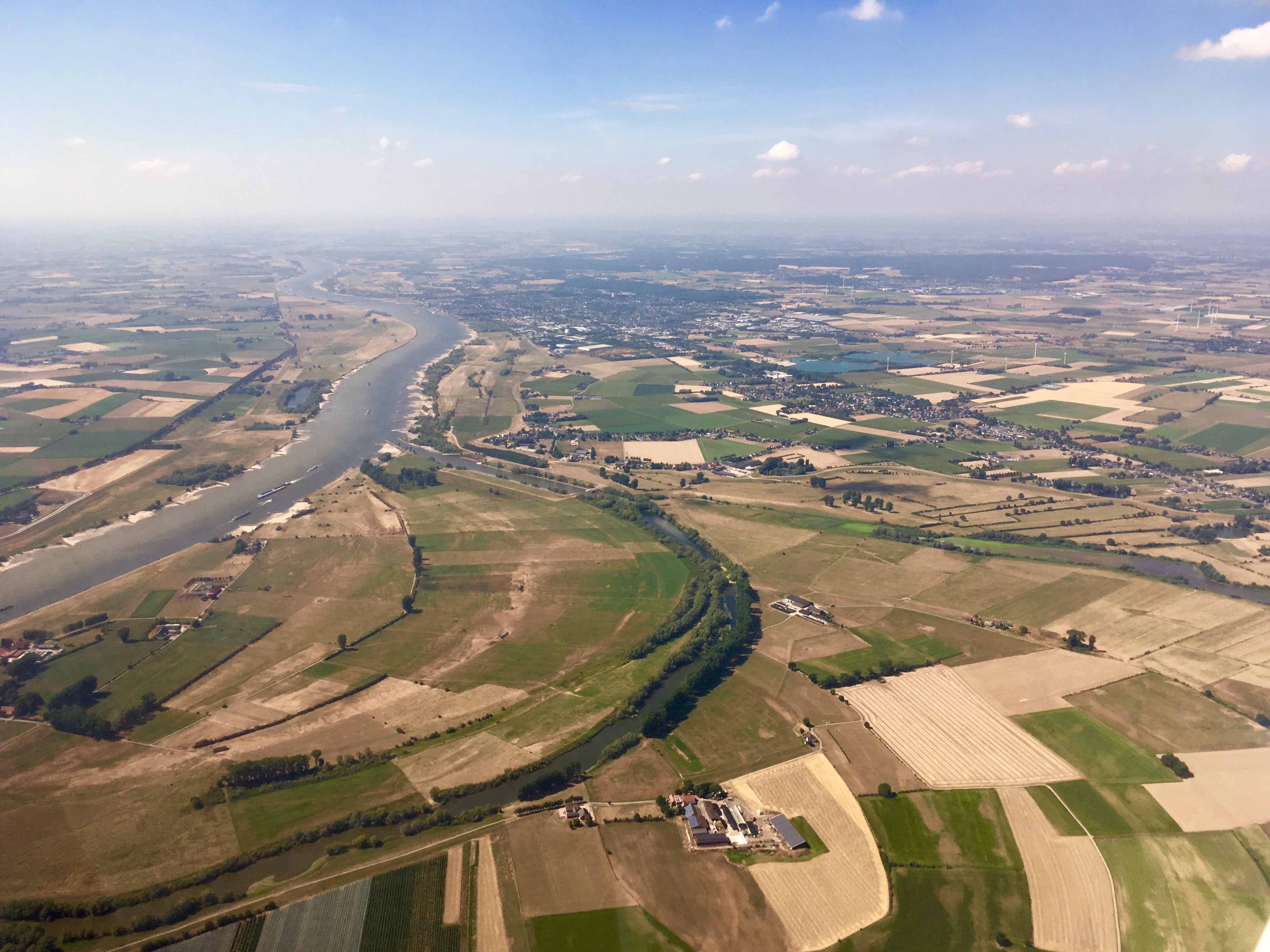
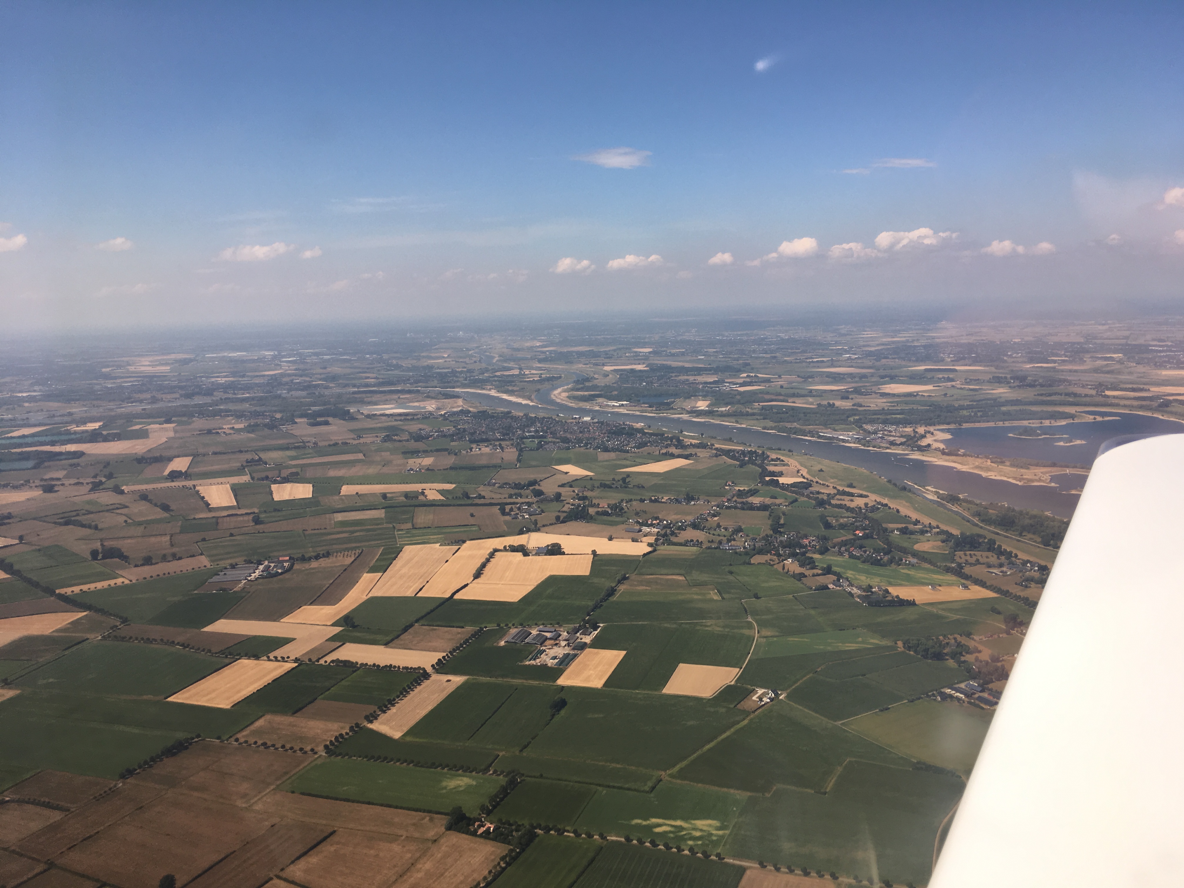
Looking east up the Elbe in the direction of Hamburg, way off in the distance 40 miles away:

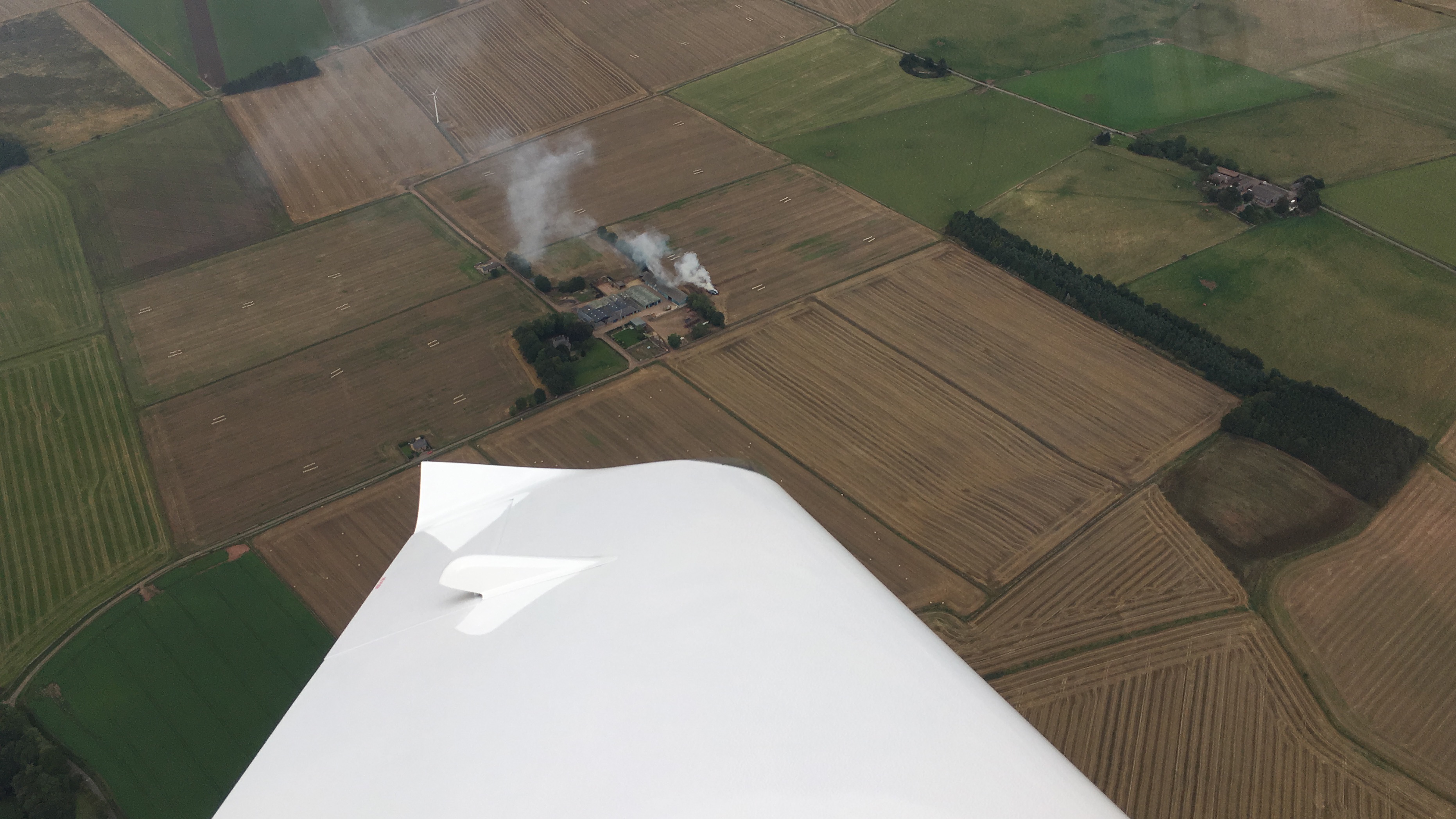
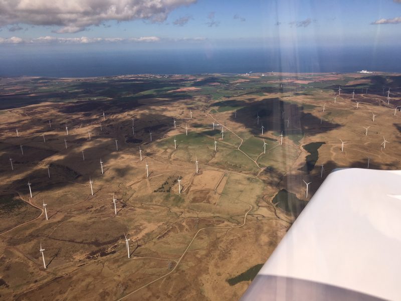
Lots of wind farms in Germany. They look slightly different to our UK ones with red bands painted on the blades.

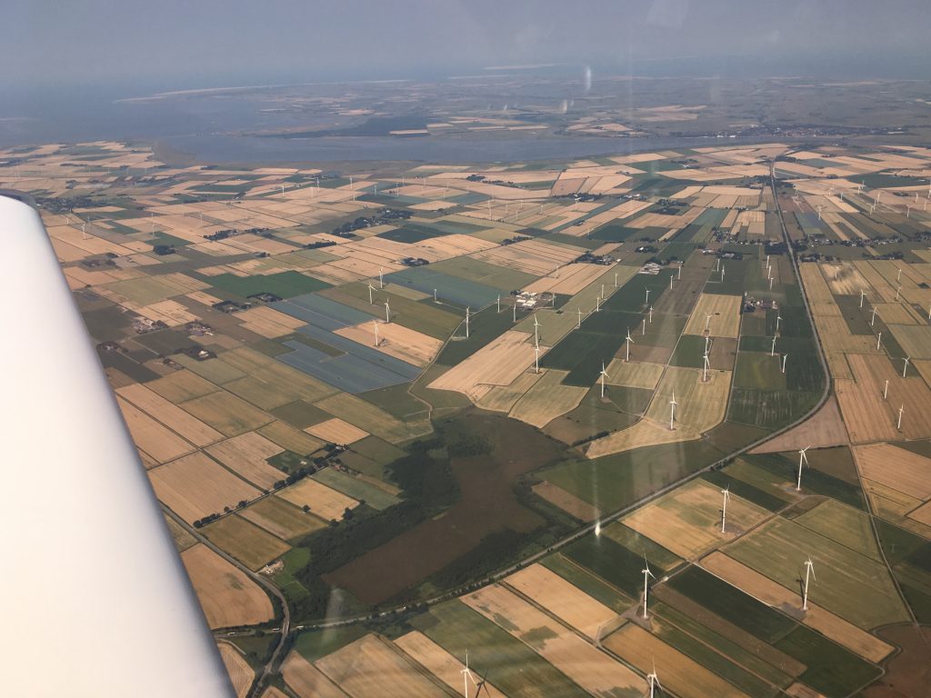
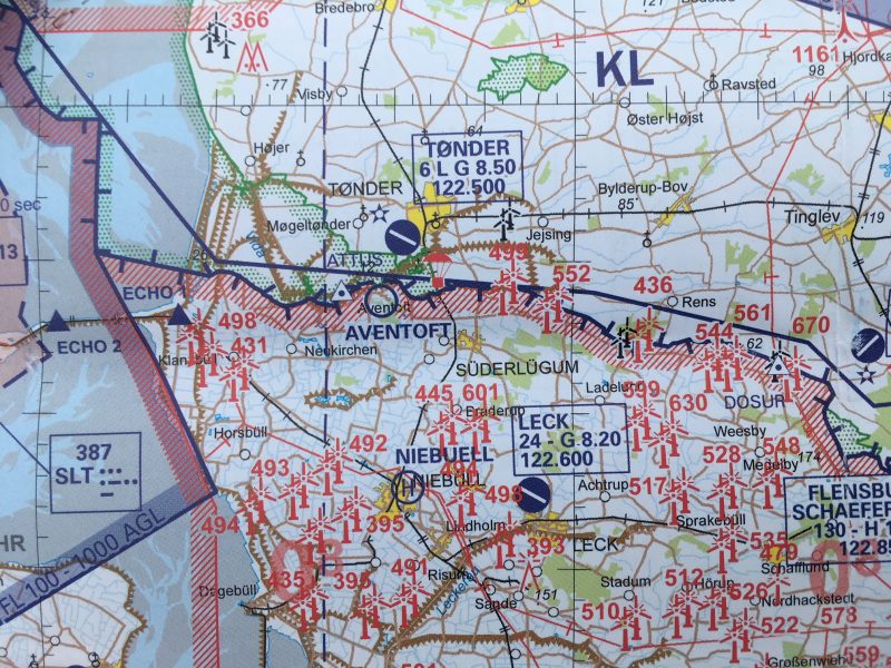
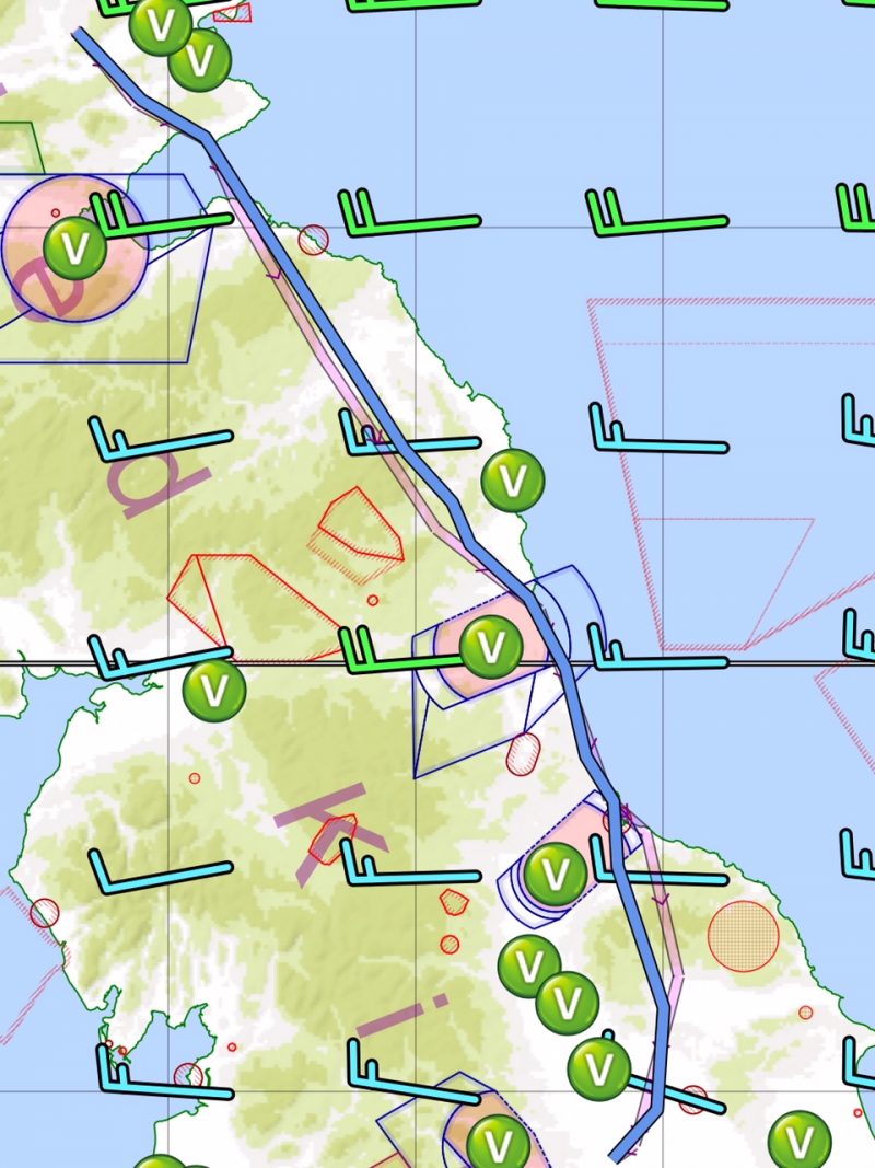
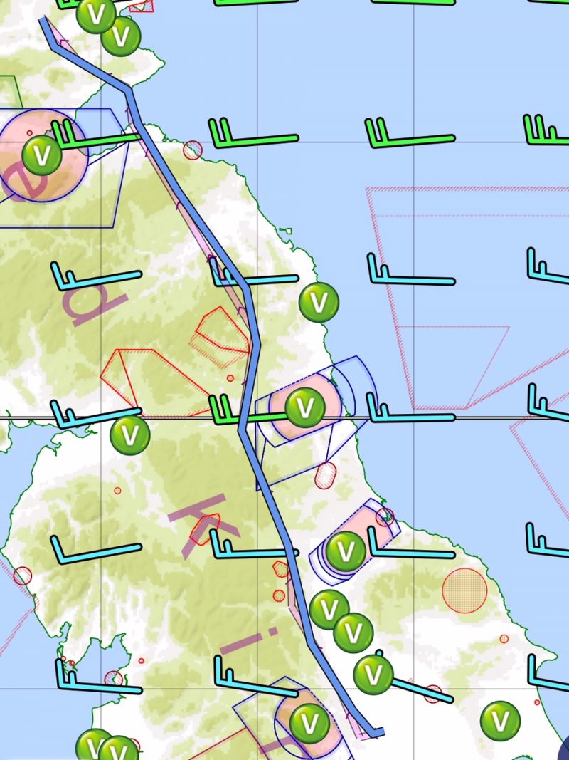
By comparison there are hardly any wind turbines in Denmark, and those that are there seem to be in much smaller groups, not giant wind farms. The difference is striking on the aeronautical charts:

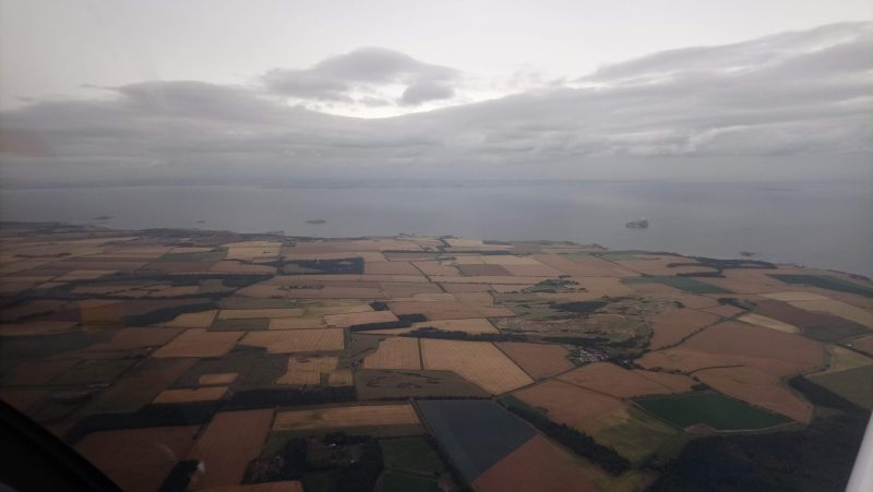
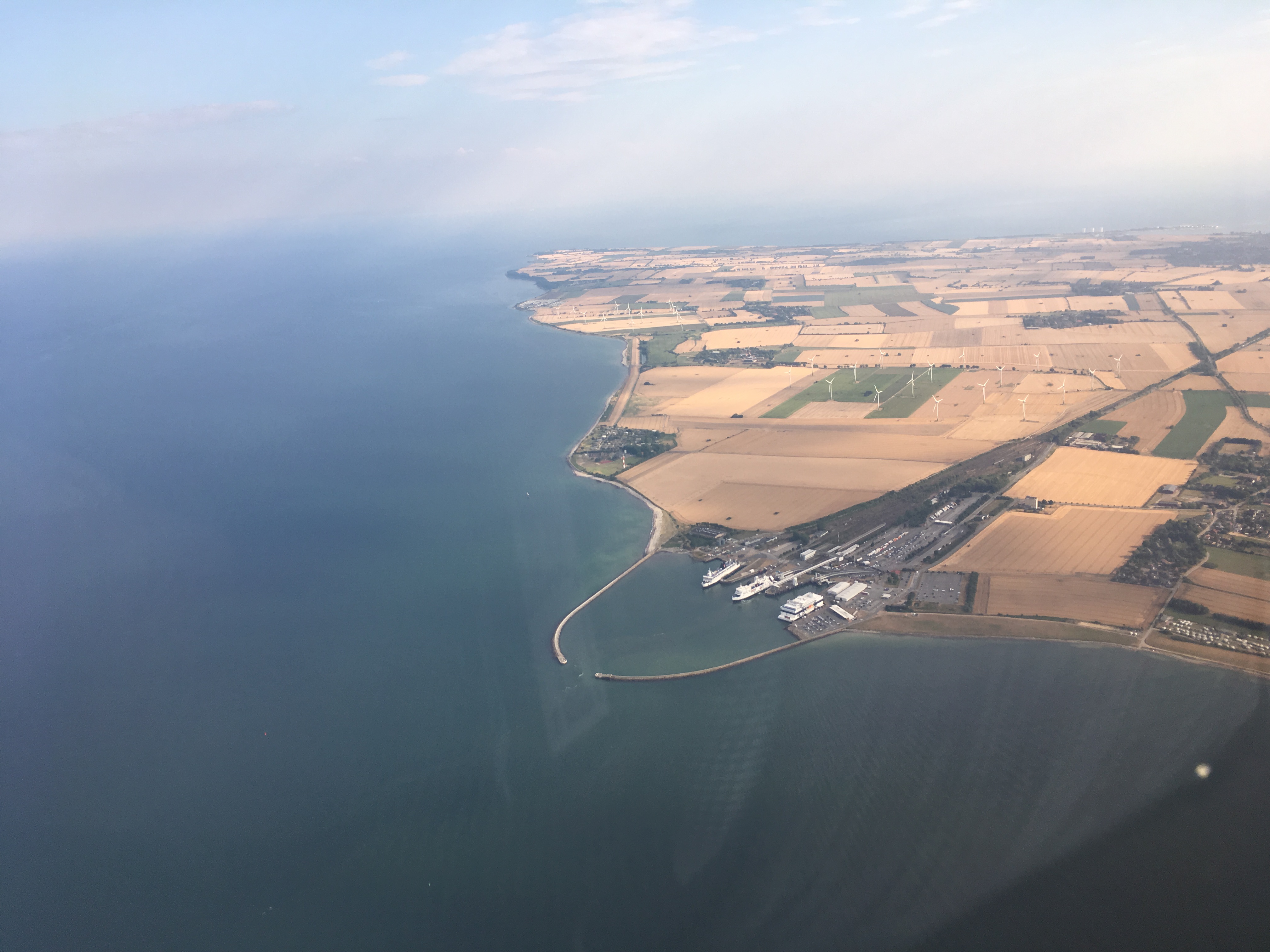
Denmark was looking as dry as England as we descended towards Sønderborg into the warmer air:

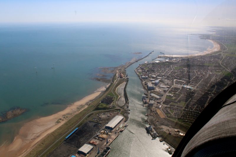
It is a lovely airfield situated next to the water and a little way out of town. There are lots of airliners on the apron. One ATR of Air Alsie was sitting there patiently waiting for the evening commuter run to Copenhagen, but the rest were there for maintenance. It was peaceful and quiet and HOT.

Yet another refuel at the card operated pumps – such a simple system, every airfield should have them. Then into the cool depths of the terminal to rehydrate from the machine, pay the landing fee and plan the next leg. The landing fee came to 110 Danish krona – about a tenner in UK money.

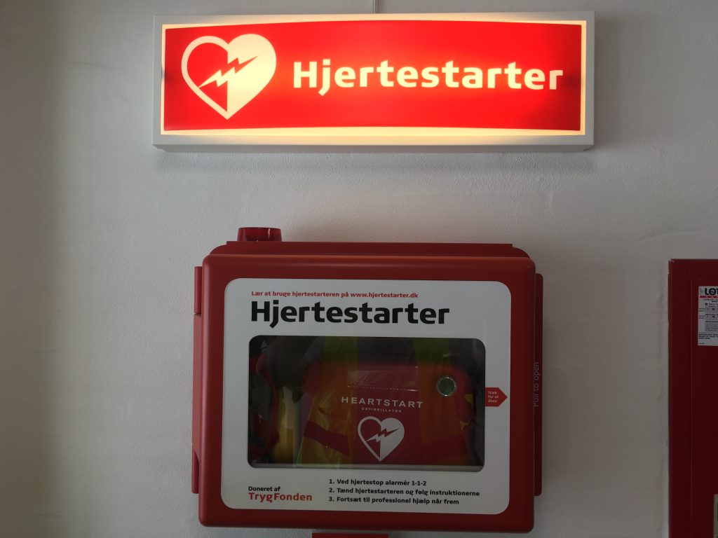
It turns out that Danish is an easy language. Not as hard as English. The English word defibrillator? Not exactly intuitive, is it?

In Danish it’s simple. If you need your heart started, grab a heartstarter.

We seemed to be getting the hang of this long range touring lark. Sønderborg was what is known in the business as a “splash and dash” – i.e. land, refuel and get going again. Route set up, flight plan submitted, ready to go. Next stop Sweden!


Leg Six: Sønderborg to Höganäs (Sweden)

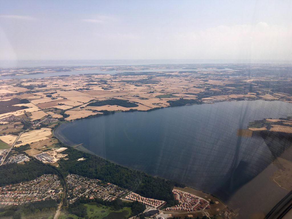
Northeast from Sønderborg over Denmark. Like the Netherlands, there’s a lot of water around:

The first part of the route we planned to fly at 3000ft, for some slightly cooler air. Later we would descend, but for the moment there were great views and we had good gliding range in the event of an engine problem. Copenhagen Information were excellent on the radio. There was a moment of amusement when a pilot flying a G-reg aircraft requested a Basic Service, which doesn’t exist over there. It must happen a lot because the controller just allocated a squawk code and got on with it. She didn’t bat an eyelid.

Over the Lillebælt towards Faldsled:

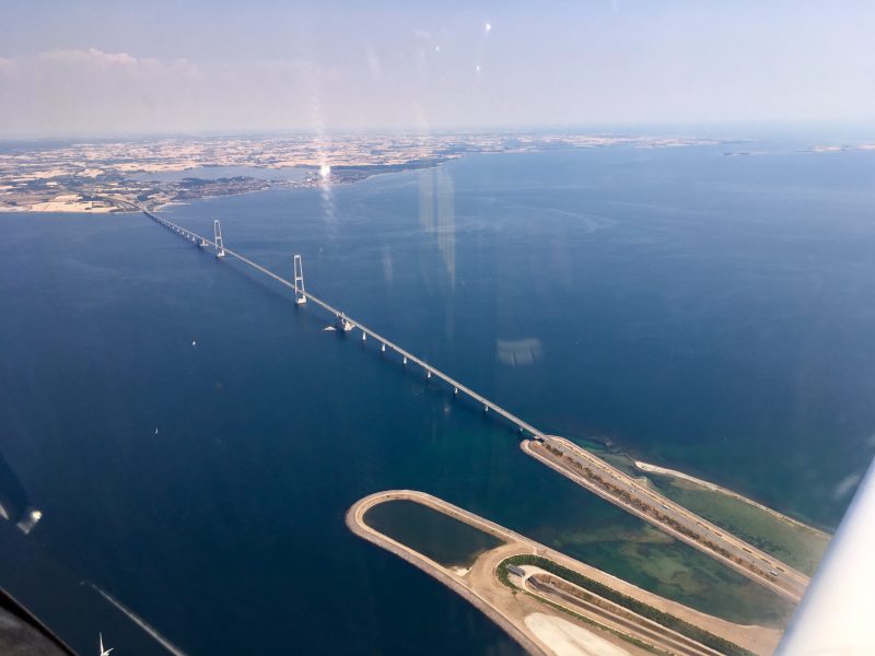
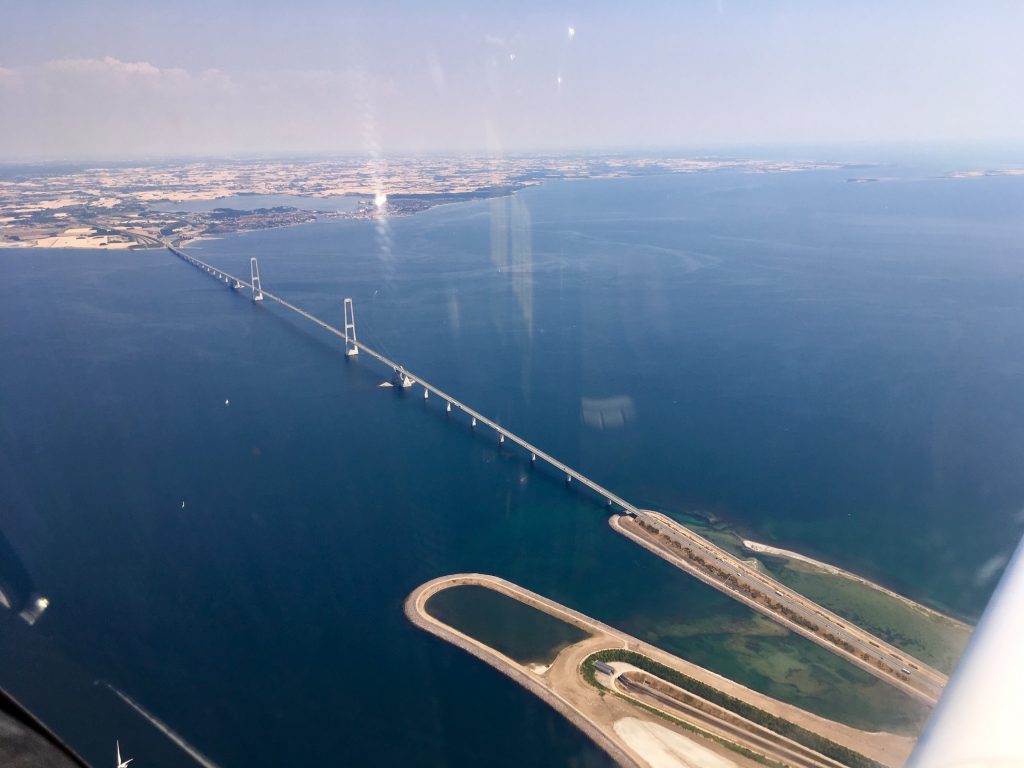
Passing the Storebælt bridge. We drove over this last year:

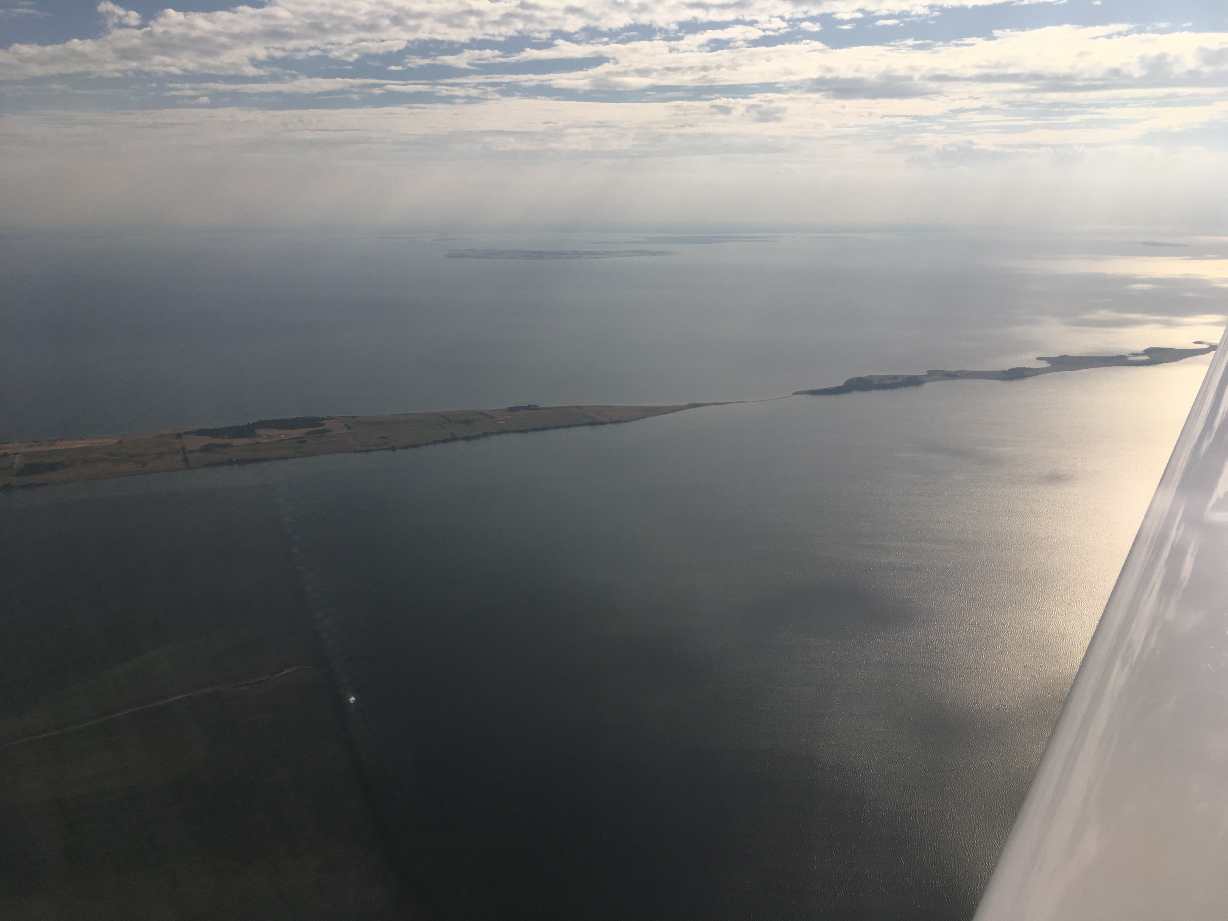
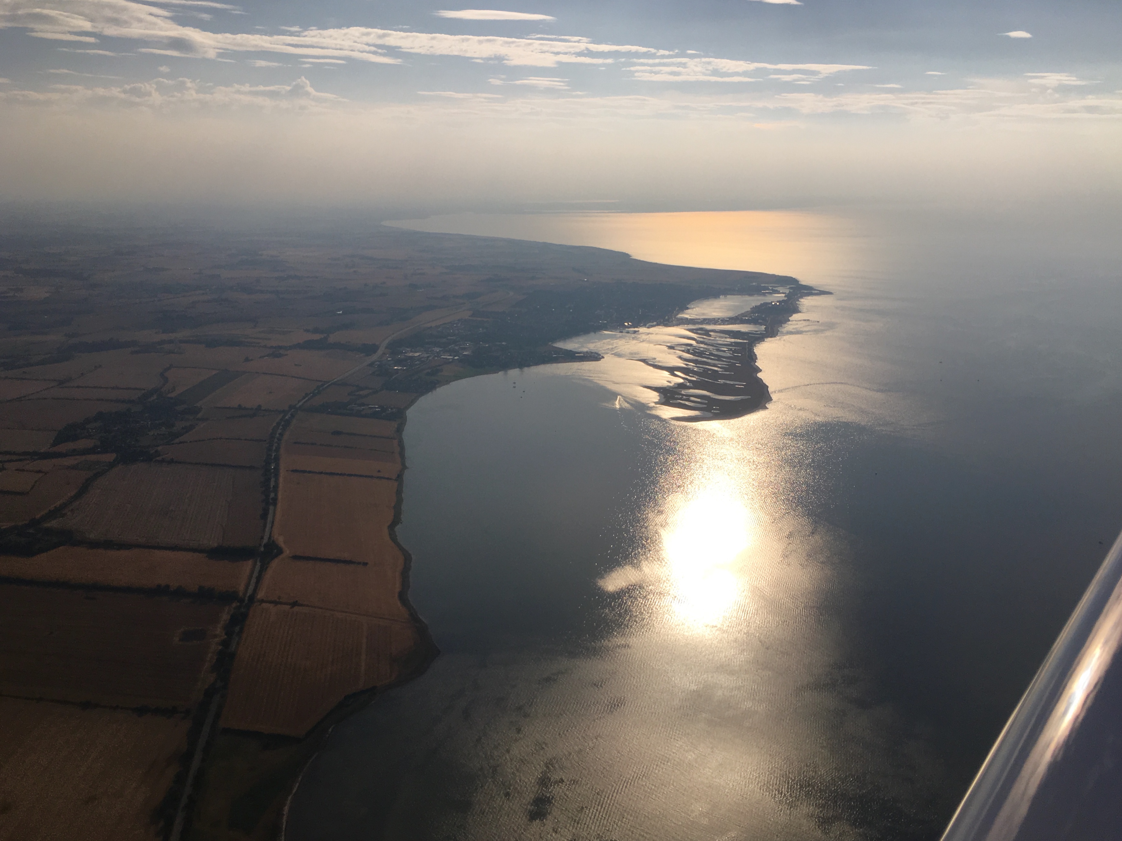
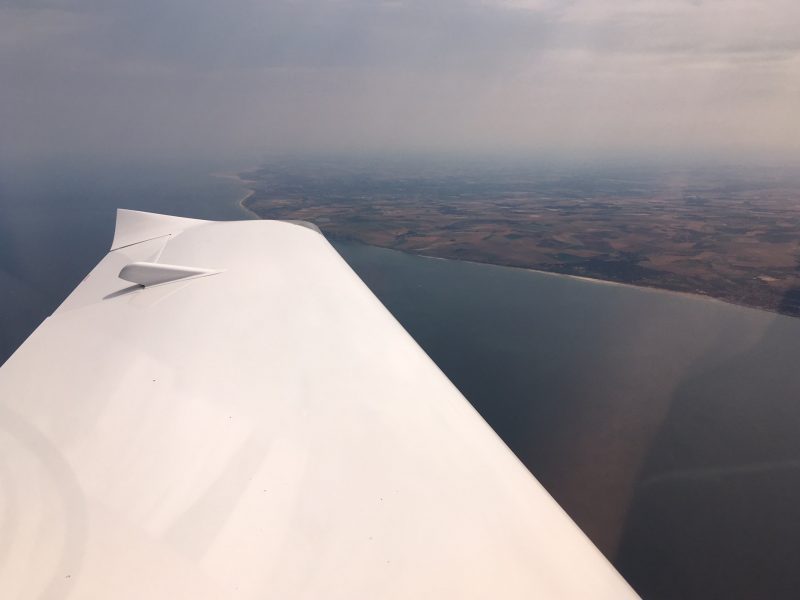
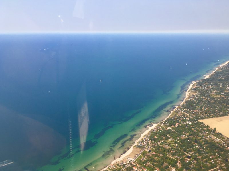
Quite soon after the bridge we descended to 2000ft to stay underneath the Copenhagen controlled airspace which is from 2500ft upwards at that point. Then along the north coast of Sjælland, with miles and miles of lovely beaches:


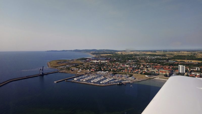
Passing the town of Hornbæk basking in the sunshine. Less than 10 miles to Sweden!

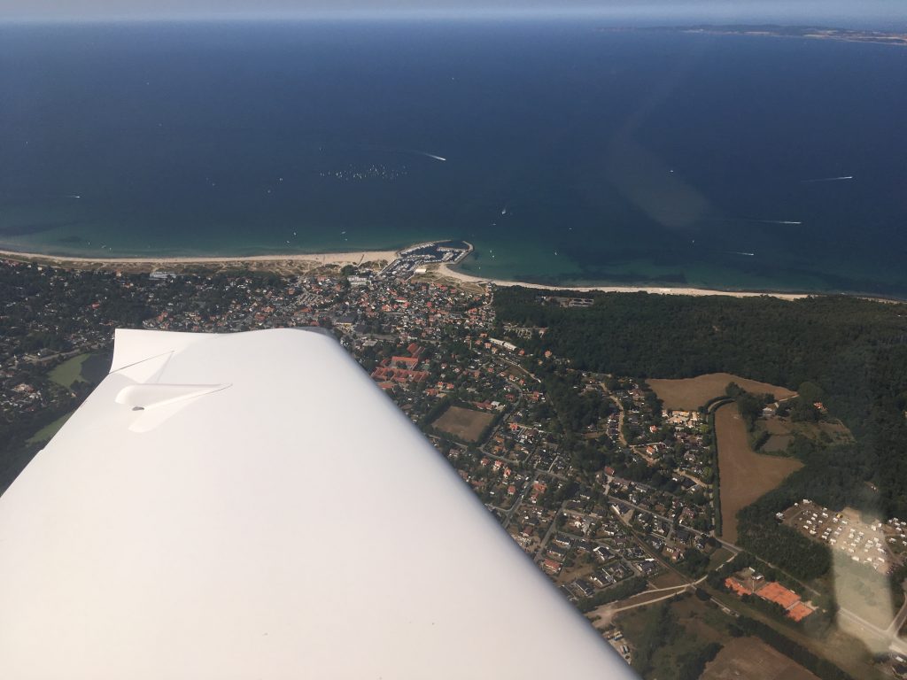
Crossing the water from Helsingør in Denmark to Helsingborg in Sweden is about two minutes flying time. A quite busy two minutes…we signed off with Copenhagen Info, checked in with Sweden Control, then told them we were changing to Höganäs radio. They let us go after a gentle reminder to close the flight plan by phone once we were on the ground.

Höganäs is run by http://www.nsf.se and is a grass airfield on the coast. It is perfectly located as a first stop in Sweden. You can just make out the airfield above the wingtip:

There was nobody on the radio so we flew overhead and checked the windsock before descending and joining the circuit pattern. They don’t really do the UK style overhead join in the continent but as there was nobody about and we needed to check the wind we ended up doing one anyway.

After shutting down at the pumps we phoned Malmö Control to close the flight plan. The airfield seemed deserted but we eventually found Ulrik in the clubhouse and he helped us out with the refuel. Like a lot of continental fields they had both Avgas and UL91 available:

The clubhouse is well appointed, with a kitchen area, the normal briefing rooms and lounge, but also several bunk rooms for hire. One couple we met were basing themselves at the club for over a week! Supplies shouldn’t be a problem as just next to the 14 threshold there is a supermarket, and with bikes available to borrow there is no problem in getting around.

We would have loved to stay longer, but had places to be. We planned the route, filed the flight plan, bought an ice cream and headed out to the aircraft. But first we had to put our pin in the big map of Europe showing every visitor’s home field. Had to angle our pin past fellow Perth pilot Alan’s red one. The blue one is his as well, he changed home bases in between his two visits. (Trip reports here )


Leg Seven: Höganäs to Siljansnäs

On take off from runway 32 it is straight ahead until passing the coast:

Once past the coastline we turned north and spoke to Ängelholm Tower to open our flight plan and transit their zone. No problem with either, there was only one other aircraft on frequency.

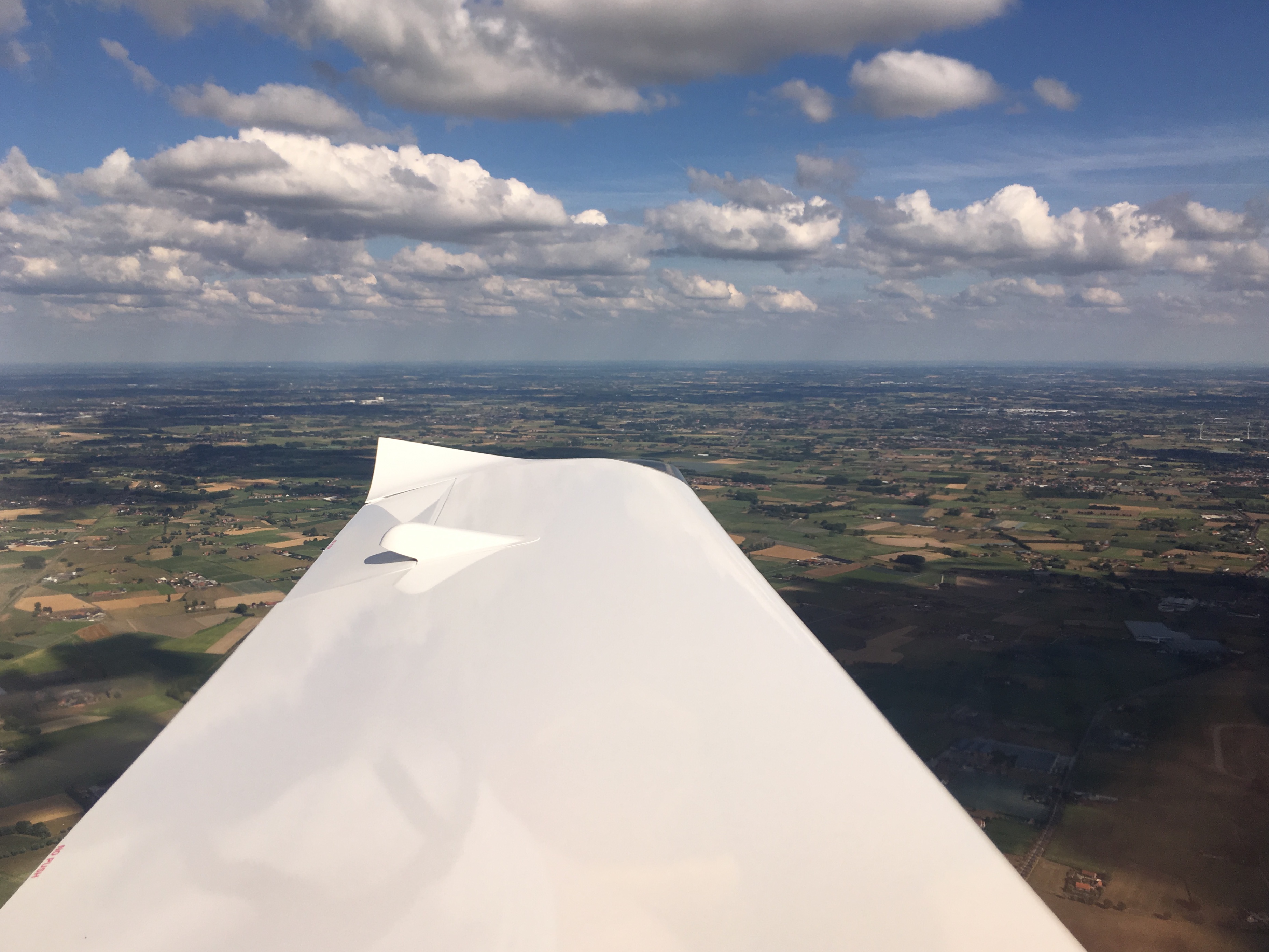
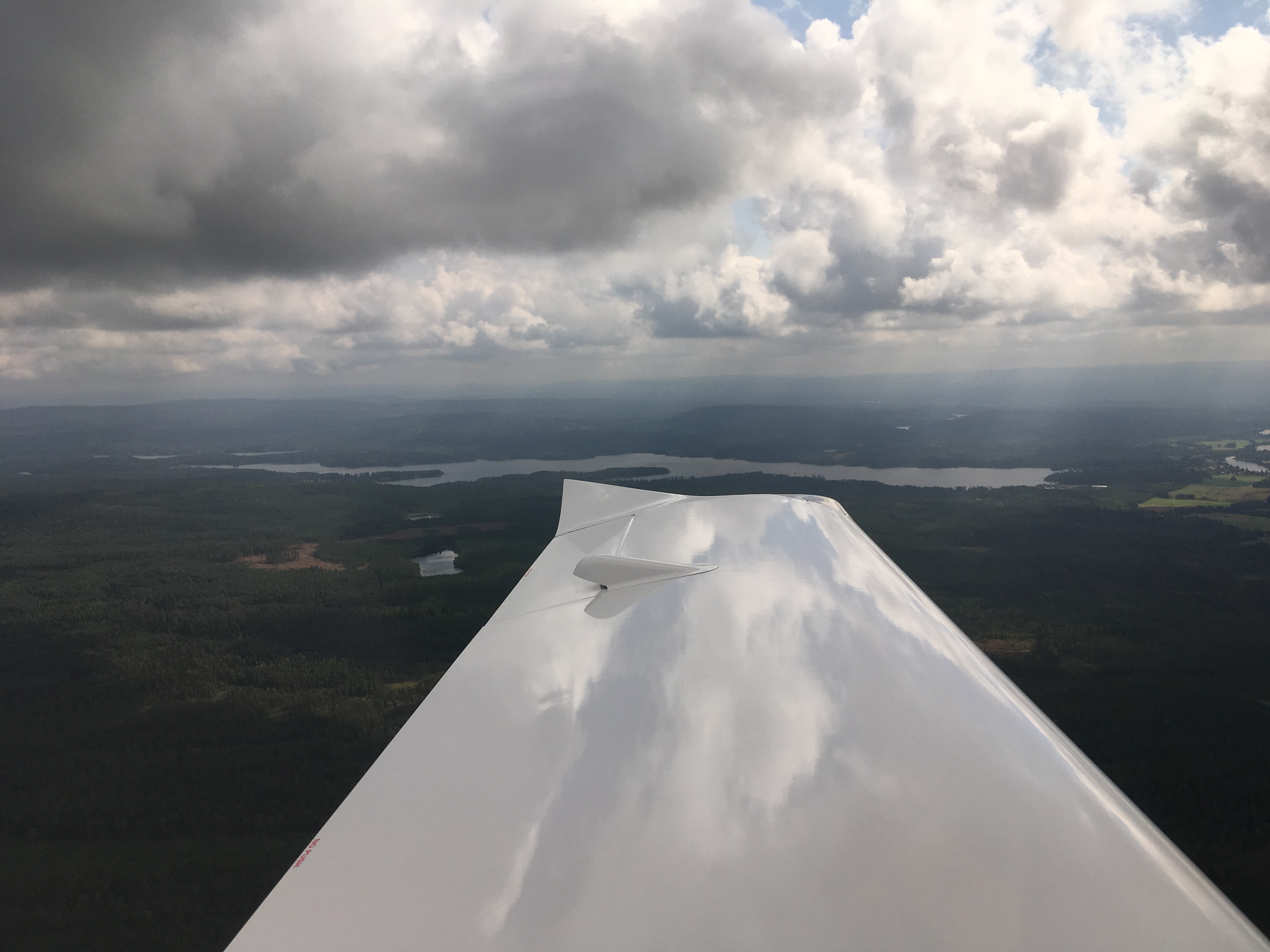
After that it was a case of climbing to 3000ft, switching to Sweden Control and settling down for the long evening flight north to our destination. The sun was a lot lower in the sky by now, and the thermally bumps of earlier had eased off, so it was just a case of getting the aircraft trimmed out, settling into the cruise and looking out the window. At the trees.

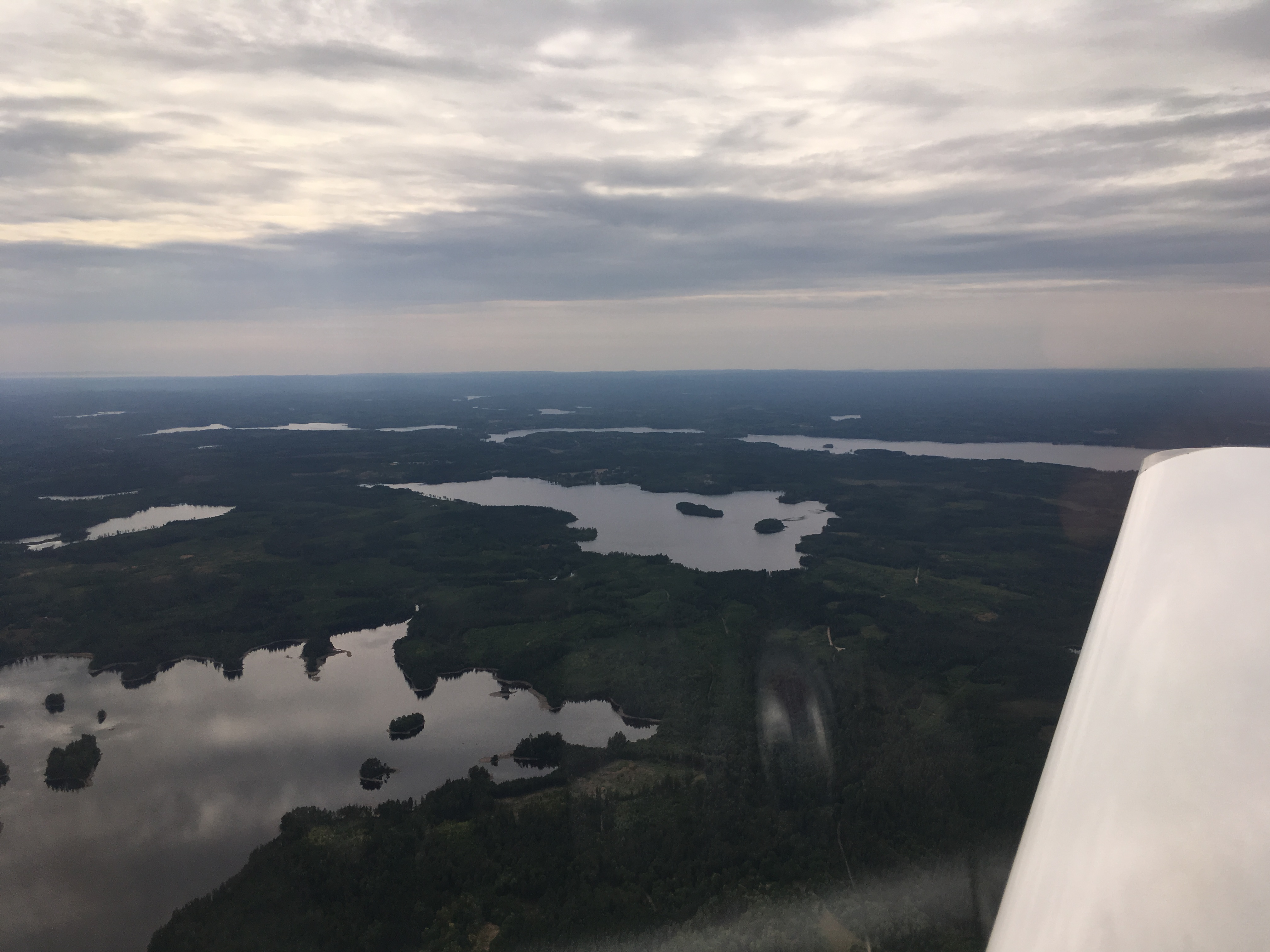
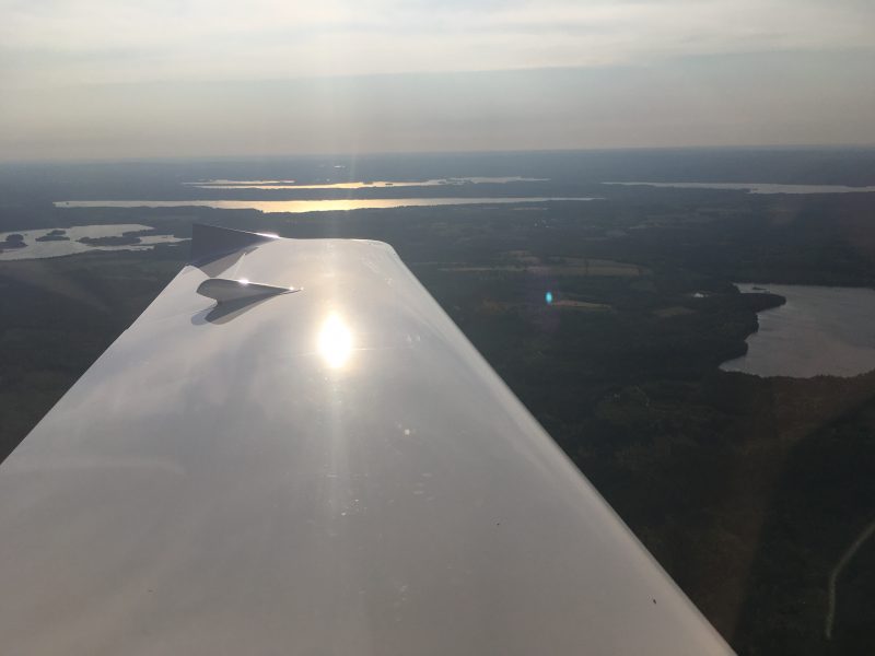
Lots of trees. And lakes:

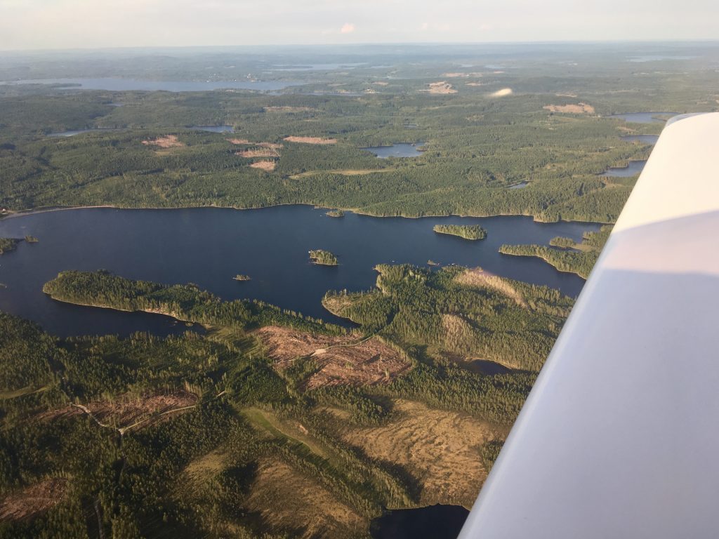
Off in the distance you can make out the haze layer produced by wildfires. Ulrik had said that they hadn’t had rain at Höganäs since the beginning of May. It was now the end of July.

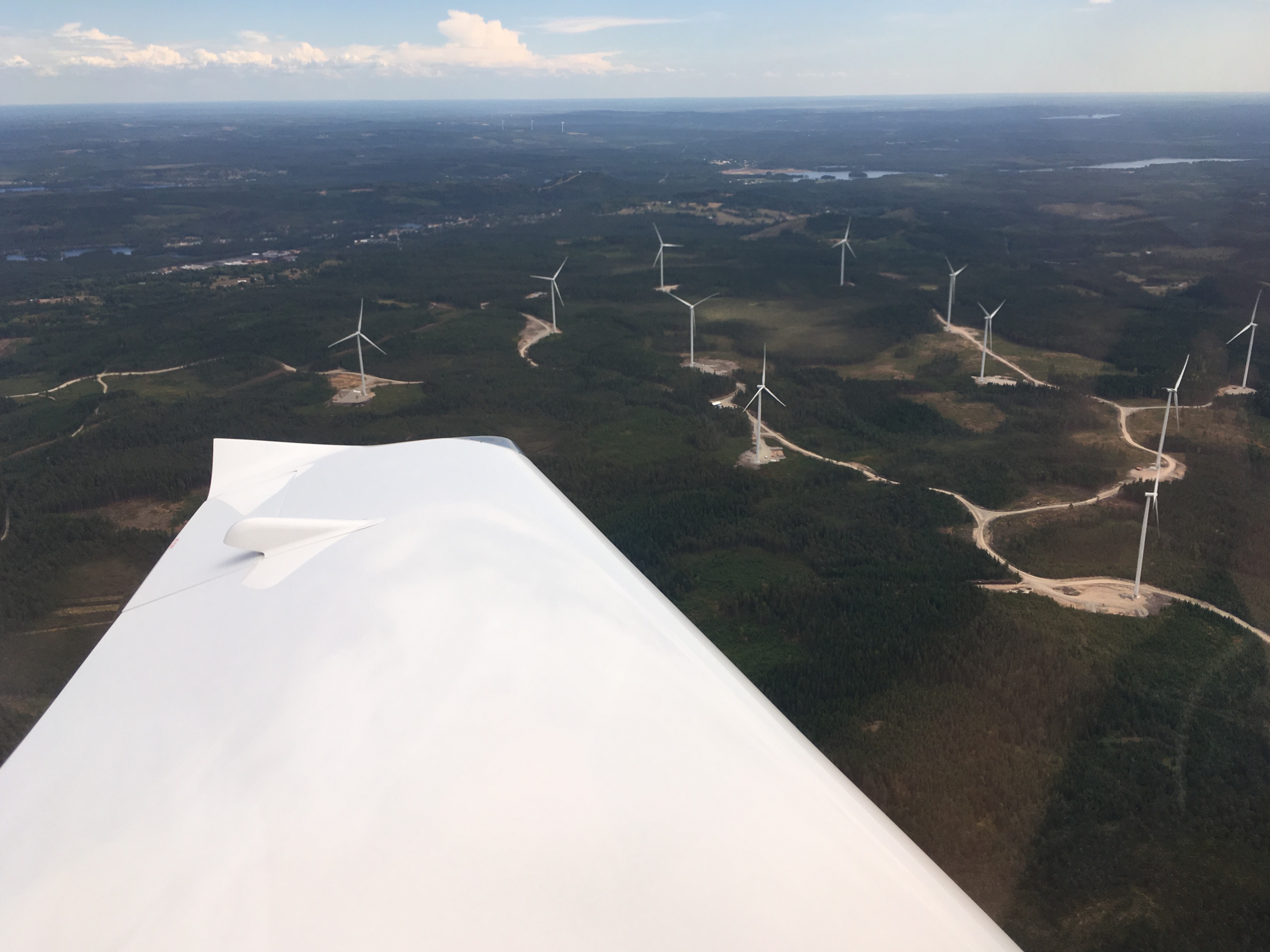
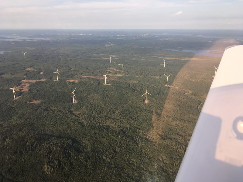
More trees, with wind turbines:

More lakes:

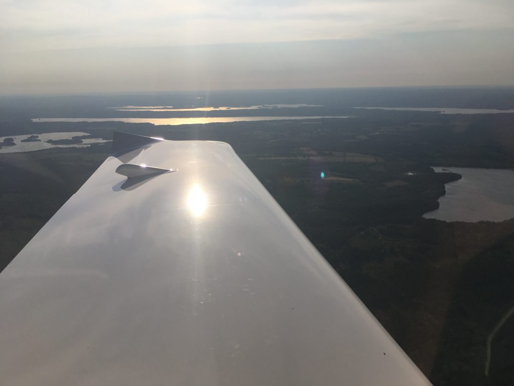
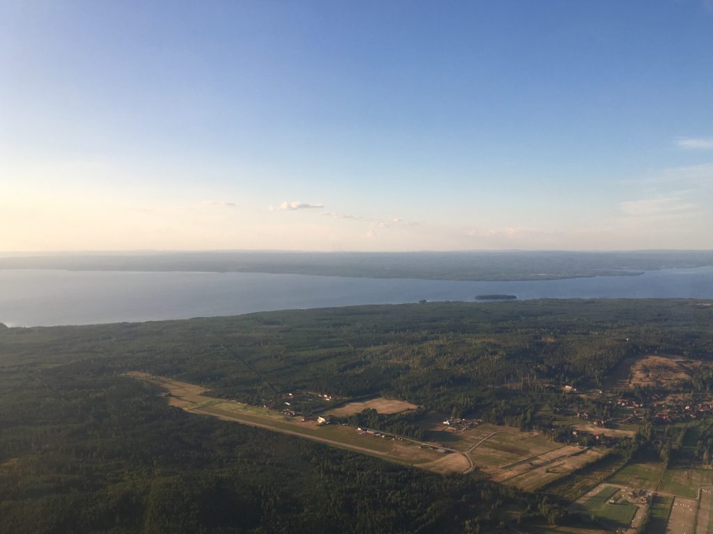
Finally after the longest leg so far our destination came into view. Set in the forest next to the lake Siljan in Dalarna province, Siljansnäs is home to a flying club with powered flight and gliding. The big white building is a brewery! Our specific target was the air park village http://www.siljanairpark.se

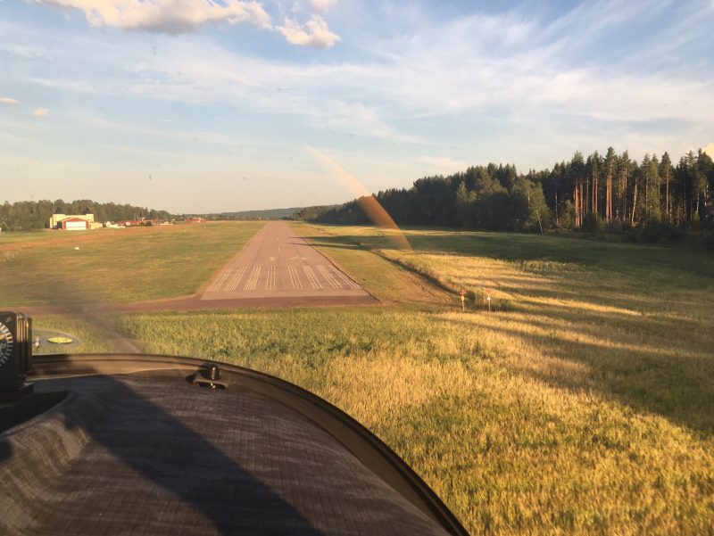
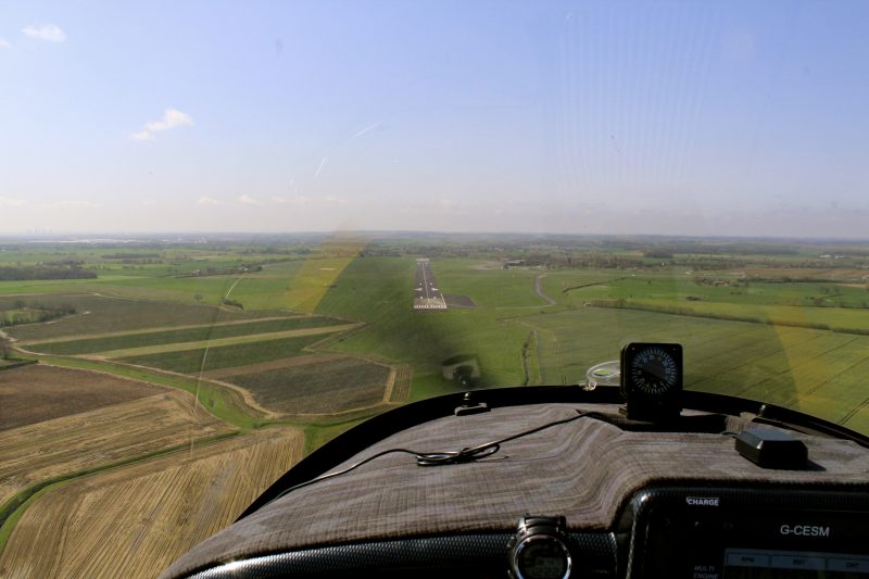
Short final for runway 14…

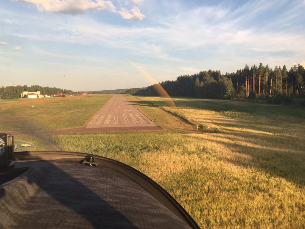
Unfortunately due to the short landing and backtrack we missed seeing the welcoming committee waving from the clubhouse. It was most appreciated anyway.

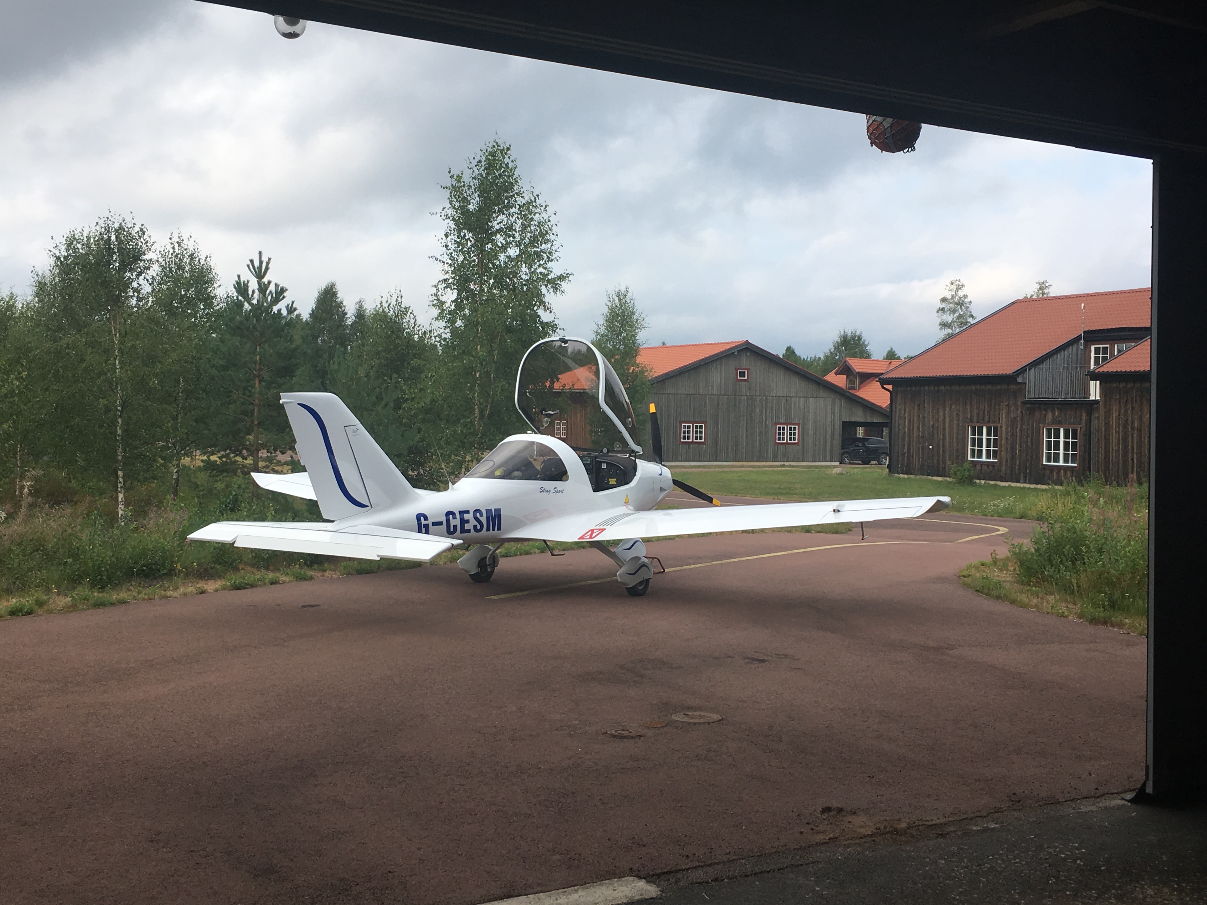
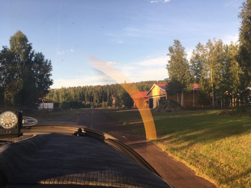
Making our way up taxiway B towards the house:

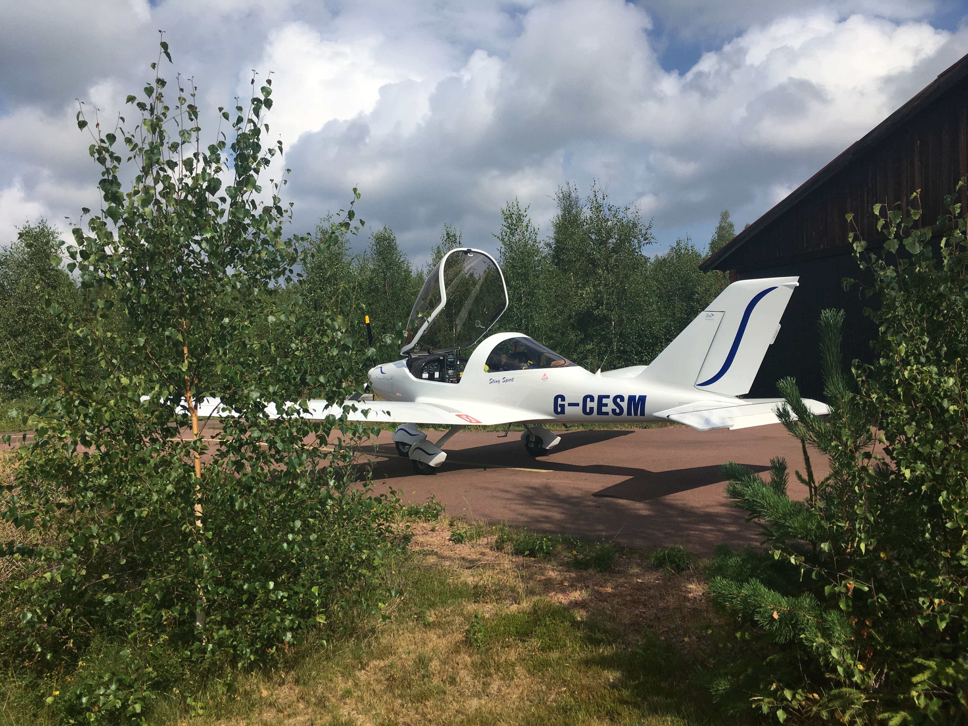
And finally stopped outside the hangar. I had expected to get all emotional the first time we flew in, but we were just exhausted instead.

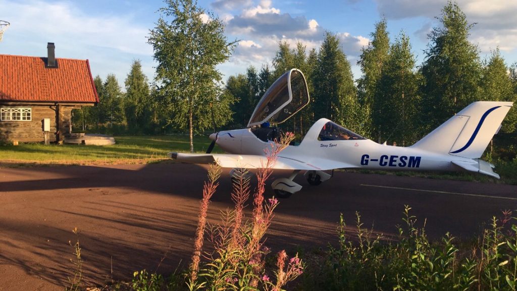
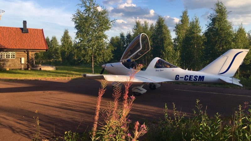
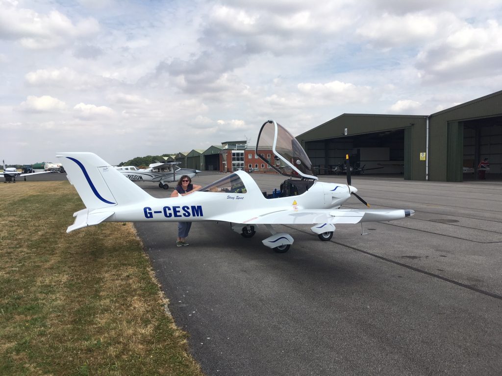
WE MADE IT! Three days, eight airfields, eight countries and two hotels. 297 litres of fuel used over 14.3 hours of flying. An amazing adventure.

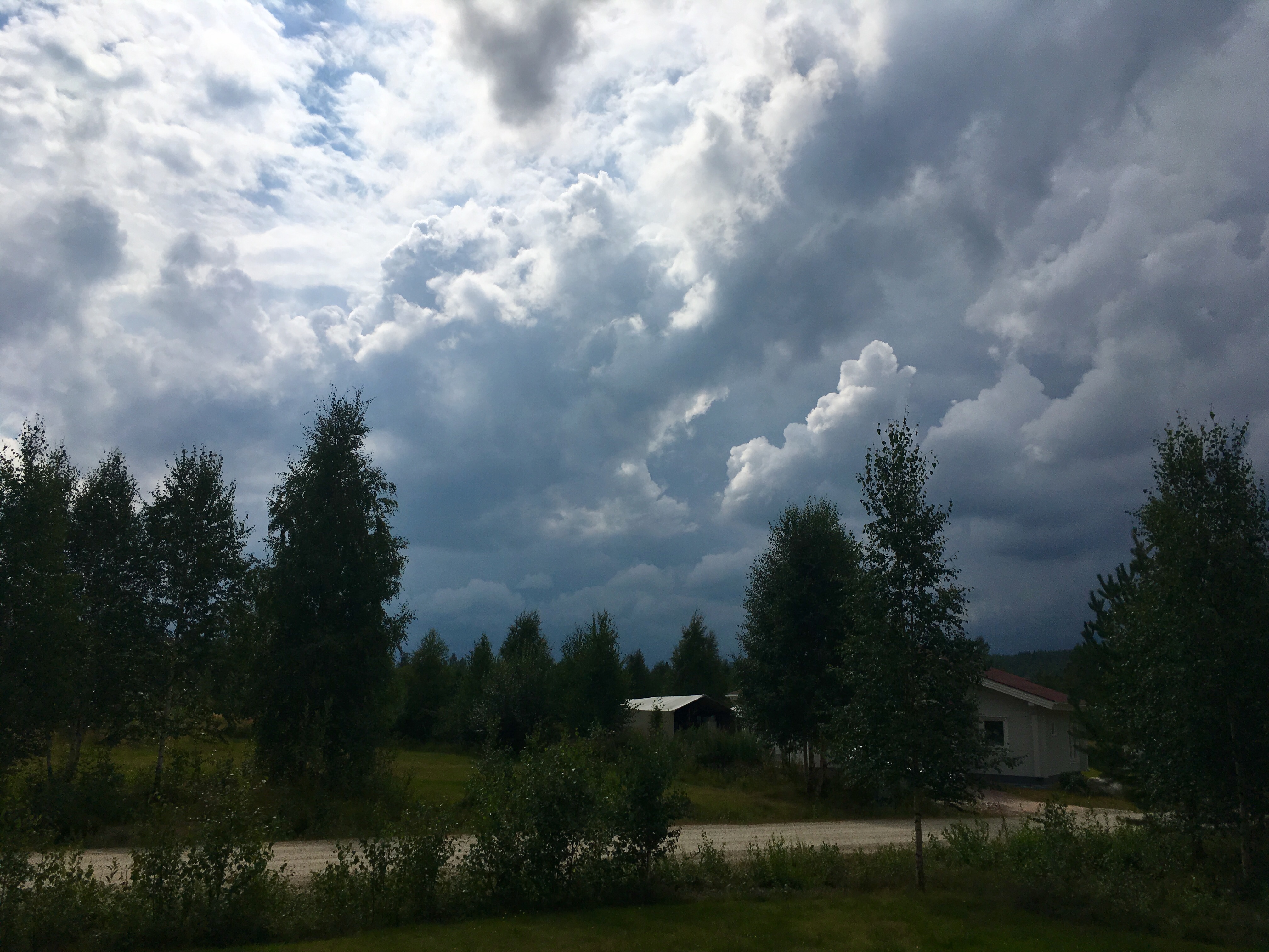
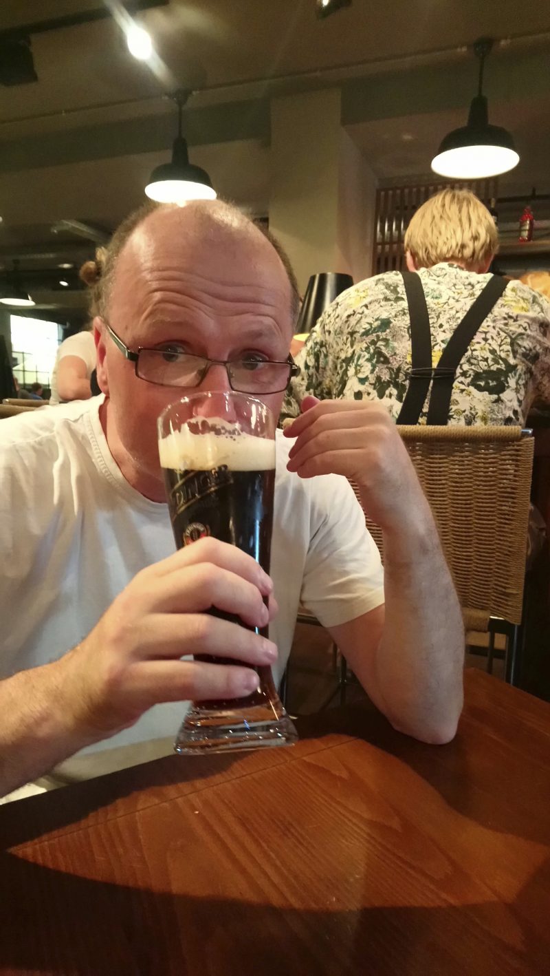
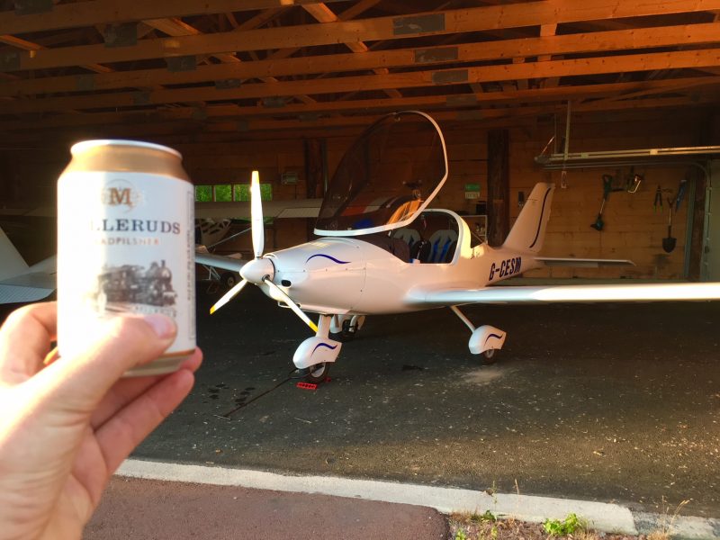
A nice cold beer had delivered by neighbour Carl to celebrate our arrival at the air park. Ahead of us a few days off, but always with the gnawing uncertainty – ten days until I have to be back at work…will the weather cooperate?

Stay tuned…


Tank Fatigue

After engine servicing and prop refurbishment, we suffered a bit of tank fatigue.

A visit to Normandy, amazing countryside where history was made in 1944, and where it seems there’s a tank on a plinth every couple of kilometres, even some in car parks…it’s usually (but not always) a Sherman of some description. Sherman:

And another…

Ooh! Not a Sherman! Technically not even a tank. A Churchill AVRE (Armoured Vehicle Royal Engineers). This one helped to bridge an anti tank ditch at Juno Beach…

A Sherman…

Shermanesque, but not even a tank (Thank you Patrick)…M10 Tank Destroyer:

And a Churchill Crocodile flame thrower tank, minus its trailer full of fuel:

Centaur at Pegasus Bridge…

Aha! Another Sherman:

And another. This is one of the DD (Duplex Drive) swimming versions which made it to shore on Juno Beach:

This next DD Sherman didn’t reach the shore – recovered off Omaha Beach and now in the Museum of Underwater Wrecks…

Stuart light tank which was salvaged:

As was this Sherman bulldozer…

And….another Sherman. At Utah Beach this time.

Self propelled artillery on a (Sherman based!) tracked chassis. Still counts.

German Hetzer tank destroyer at Bayeux museum:

And another Sherman, at the Airborne Museum in Sainte-Mère-Église. You can just make out the reconstruction of US paratrooper John Steele hung up on the church steeple:

Stuart light tank at Saint-Côme-du-Mont. Fascinating German paratrooper museum here as well as the D-Day Experience museum.

Another M10 tank destroyer…

Yet another Sherman…

And a final Sherman to finish…

It’s not all organised museums and tanks on plinths. Every little village seems to have a plaque or memorial somewhere hidden away. This one is in plain sight. The Great War memorial in Trévières was damaged by a shell (from a Sherman!)  a few days after D-Day, and during reconstruction the town elders decided to leave it.


Annual Completed!

Just got back from being the trainee in the simulator and being the trainer at Inverness to find this…

The Permit to Fly has been renewed for another year…just in time for good weather!

Unusual Attitudes

Normally unusual attitudes in an aircraft involve an instructor or examiner putting the aircraft in some idiotic position in the sky like 60 degrees nose up and 120 degrees angle of bank. Then the hapless student has to recover to straight and level flight. Usually by reference to instruments, quite probably with the main attitude indicator failed.

In this case the phrase came to me when I was flat on my back on a mechanic’s creeper trolley looking up at the engine from below, checking wire locking and mounting rubbers. Don’t normally see it from this angle.

Yes, it’s annual inspection time once again.

The propeller spinner came off to inspect the prop hubs and mechanism of the electrically operated pitch change mechanism, including the brushes which transfer the electrical signals from the (static) front of the engine to the (rotating) prop…

The wing tip lights came off to offer a view inside the composite wing structure – notice the aileron control linkage in the distance…

And the tail access hatch came off to enable the tail cone to be detached. This allows access to inspect and lube the elevator controls, rudder controls and pitch trip mechanism…

A close up of the trim mechanism. Note the wiring for a tail position light. The light is not fitted but the wiring is in place to make it easier in the future if required.

Just like last year, the seats and baggage lockers came out to allow access to control runs and the inside of the fuselage. Once everything was inspected and lubed up and checked it was time for the Light Aircraft Association inspector to come along and do his stuff. We have three at the airfield and another who pops in and out so we’re spoilt for choice.

It’s always a nerve wracking time for a couple of hours while the aircraft is gone over in meticulous detail, almost as bad as when the world’s coolest co-pilot was in surgery, but the aircraft passed and subject to a successful flight test will be good to go for another year.

We finally got the replacement wheel pant brackets from TL Ultralight and put them on when all the other panels were going on post-inspection. The first ones were too small, a slight confusion over sizes, but the correct ones came out of the Czech republic by courier. Excellent service from Ludek and Paul at the factory in Hradec Králové.

Now it’s just the renewal test flight to do. But first, back to work…

Return (2) – Church Fenton

Time for a longer trip. A chance to check out the bladder range, as that is more limiting than the fuel range of the aircraft. Also to confirm the running of the post-overhaul engine.

I chose the airfield at “Leeds East” as a destination target. Far enough away to be a challenge but not so far as to take ages to get back if the aircraft broke! Right next to the East Coast Mainline for a quick train home and with copious hangarage from its days as RAF Church Fenton. And the weather was lovely too. A perfect day out.

The last time I was there was during Basic Flying Training…there were three schools, at RAF Cranwell, RAF Church Fenton and RAF Linton-on-Ouse. My course was at No.1 Flying Training School at Linton, flying the Jet Provost Mk3:

During the night flying phase of the course we used Church Fenton for circuits, so I’ve only seen the place in the dark. I was looking forward to seeing it in the daylight as the newly reopened and renamed “Leeds East”…

The route was plotted on Skydemon and followed the normal east coast routing. Southeast from Perth over Fife, crossing the Firth of Forth and down to Newcastle, hugging the coast until past Durham Tees-Valley and over the North York Moors, past York itself and into Church Fenton. Here’s the routing…planned in magenta and actual in blue:

Some photos from the trip. Here we are approaching Blyth ready to transit the coast southbound past Newcastle Airport. Over our old friend the wreck of the Zephyros… ( https://wp.me/p84TeY-1l )

Passing the mouth of the Tyne at South Shields. This is where Eric and Anne live (I bought the aircraft from them)…they are very close to the roundabout in the right third of the picture…

…the distinctive harbour at Seaham…

…Durham ATC gave us  shortcut through their zone, passing over the industrial area at the mouth of the Tees near Middlesborough…

After crossing the North York Moors we passed the old airfield at Wombleton…

And soon Church Fenton “Leeds East” hove into view. It was quiet so we went straight in from a long final…

Prop stopped and canopy open for some fresh air after 2 hours flying…

The control tower is very definitely ex-military.

The fueller was a bit taken aback when I asked for 36 litres – “But there’s a minimum order of 75!” – a quick radio call to the airfield manager in the control tower sorted it out and I wasn’t charged for more than the aircraft could take. Another aircraft was in for fuel at the same time so that probably helped.

The view from the tower, all alone in a vast parking area! There was a strategically placed picnic table at the base of the tower where I had my lunch, and then after a quick loo stop it was time to head back.

Off we went in a southwesterly direction then turned north, paralleling the A1 at Wetherby…


The route northbound was inland of all the controlled airspace. No need to talk to anybody on the radio, but a “Basic Service” from Linton started a process of handover from one controller to the next, through Leeming, Durham and Newcastle before being handed back to the familiar voices of Scottish Information.

The Southern Uplands…


…with its giant wind farms:

Crossing the Firth of Forth northbound – enemy coast ahead!

Drilling rigs mothballed off Kirkcaldy:

Mugdrum Island in the River Tay at Newburgh on the descent towards Perth. (EDIT: HOT NEWS…the Cessna 206 skydiving drop aircraft from nearby Errol had an engine problem and landed on this island over the weekend of 5/6 May)

And finally shut down outside the hangar after a total of 4 hours flying. Welcome home!

Unfortunately it wasn’t a joyous welcome. Post flight inspection showed that the bracket holding the right hand wheel spat had broken:

So both spats were dismantled and the brackets taken off…

And then it was a call to the UK dealers (they were on holiday) and the TL Ultralight factory in Hradec Kralove in Czech Republic to see about getting replacements. The unbroken one was showing signs of wear as well so it was decided to replace both. At 5 euros a bracket it’s not breaking the bank .

We’re not grounded. The aircraft flies fine without the main wheel spats. But it’s annual inspection and permit renewal time anyway.

So. Long range navigation. Got back to Perth feeling as if I could have done another two hour leg. Six hours flying in a day including stops would be enough. But at an average of 115 knots that would be 690 nautical miles.

Here’s what 680 miles might look like. Adventure awaits!

Return (1) – The Prodigal Pen

Remember the £1000 free pen?

http://www.sigurdmartin.se/2017/03/30/the-1000-free-pen/  )

I had lost it but now it has returned… it was found loose in one of the aircraft baggage compartments. I was taking them out for the annual inspection on Monday. I have no idea how it got in there or whether I actually put it in there, but it was a potential loose article which could have got out and ended up as an annoying rattle or worst case jammed in a control run.

This is why we do inspections…

Simon Says

Early April. A visit to our home airfield by Simon of Eccleston Aviation to do the 200hr overhaul on the carburettors and an annual service on the engine. I did it last year but we are planning some serious touring this summer so a professional looking over it provides a little added peace of mind. As it turns out there were a few bits needing replacement so it was a good investment to get the expert in…

Plus looking more closely at Simon’s box on wheels gave me a serious case of tool envy:

After the service it seemed only fitting to test the engine by going for a flight. It was a lovely day, so we headed for hills following the River Tay…

Passing over Dunkeld and Birnam:

Up the A9 towards Pitlochry, over the Ballinluig Motor Grill – fantastic all day breakfast at http://www.ballinluigservices.co.uk

Got a bit bored on the way towards Pitlochry (I’ve seen it many times with the day job) so turned east towards the wind farm at Alyth, over the high ground:

Which still had a little snow on it:

Then turning south and running back along the Tay to Stanley and back to the field for some circuits (patterns to those of you in the US)…

But before that, just time for a quick photo of my shadow on the wing. If it’s a selfie of a shadow does that make it a “shelfie” ??

The circuit work was a good workout…low power to idle to full power to medium power to low power to idle to….etc. No issues with the engine at all.

Three of us from the aero club had banded together to share the travel costs (Simon came all the way up from Lancashire to Perth), and on landing I was able to tell the others that the engine had run flawlessly.

https://ecclestonaviation.co.uk – for all your Rotax servicing needs, 4 stroke or 2 stroke. Recommended.


Preview of Forthcoming Attractions

Don’t tell the Sting, but I’ve been seen with another aircraft. Now the Sting is used to me flying other aircraft, what with the works helicopter and the Eindecker, but this one could be a serious rival. Relationship-ending serious.

It’s an RV7, made from a kit produced by Vans Aircraft of Aurora, Oregon. See https://www.vansaircraft.com for more details. This one is powered by a 180hp Lycoming fuel injected engine driving a constant speed prop, and it is FOR SALE!

The RV7 ticks lots of boxes. It can be approved for aerobatics (See the RV grin at https://www.youtube.com/watch?v=caFgD_FOJgA ) and can also be used for long trips (see https://www.youtube.com/watch?v=GxZG-5HjziU ). It’s a great compromise aircraft, Vans call them “Total Performance Kitplanes” – and the company must be doing something right, to date there have been over 10,000 first flights of completed RV kits.

So I drove up to Inverness Airport to meet the owner and see the aircraft and go for a test flight. It was awesome. We blasted around at 140 knots and the engine monitor screen said we were only using 45% power. Opening the throttle up to 75% power would have been storming along at about 170 knots or more… We flew from Inverness to the airstrip at Dornoch and from there to the hilltop airstrip at Knockbain Farm. Didn’t actually land at those strips, just did low passes, like the one below at Knockbain, captured previously (by Wallace, as usual)

Unfortunately I was outbid on this lovely aircraft, so there is no other choice. If I want one I’m going to have to build one. That way I get the aircraft I want, kitted out the way I want. I’ll be intimately acquainted with all the aircraft systems, which will make maintenance a lot easier compared with buying somebody else’s completed kit. The Sting has been a very steep learning curve for the maintenance.

I’ve made plastic model kits. How difficult can it be….? Well actually quite difficult…here’s the kit. Minus the engine and propeller, they are extra. Where on earth do you start to try and get all those bits of aluminium* to fit together to make the aircraft at the back?

(* = the “blue” parts are aluminium sheet covered by a protective film)

That’s a lot of bits. And a shedload of riveting to put it all together. Luckily these days the parts are produced by computer controlled machines, and have the vast majority of the holes pre-punched, so the process is a lot easier than the good old days, when the builder had to fabricate a jig and line up parts and measure and adjust and line up again and only then drill the rivet holes when absolutely certain. It’s a lot easier now.

As well as the “matched-hole” pre-punched parts, there’s another option to make it even easier. The quick build option costs a little more, but is claimed to reduce build time by about 35-40%

For both options, quick build and the full kit (which has naturally become known as “slow-build”), the builder has to complete the tail fin and rudder, horizontal stabiliser and elevator. That way the quick builder has a good foundation in sheet metalwork and riveting even though a massive amount of riveting has been completed already.

In a fit of excitement I sent off to Oregon for the “Preview Plans” which are a half size version of the actual plans and are full of instructions, techniques and drawings…

Here’s the horizontal stabiliser and the mountings for the elevator hinge bearing:

I bet any of us could follow the instructions to put together a hinge bearing support from two brackets. Just one small little job. Do another small job. Then another. And another, and another, and another and another and another. One day there will be a completed aircraft sitting there.

It’s too daunting to think of all the things that will have to be done to complete an aircraft like this. But thousands have done it. Most that I’ve spoken to say it’s like completing a postgraduate course in applied aircraft construction…the learning is immense. But at the end there’s an aircraft sitting there, not a diploma to hang on the wall.

Napoleon Hill said: Don’t wait. The time will never be just right. Actually in terms of building an aircraft, the best time to start was five years ago. The second best time is now.

What age will I be in the five years time it might take to complete it? Exactly the same age as if I didn’t do it. The trick is to look just a couple of steps ahead and enjoy the learning process, the mistakes, the swearing, the frustrations and the sense of achievement at each little completed step. There’s no hurry.

The Sting can rest easy for a while. She won’t be replaced overnight….